
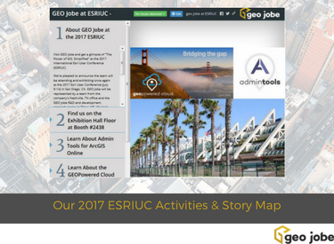
We’re ready to head to San Diego once again for the Annual International Esri User Conference (ESRIUC) and have shared details of where you can find us, what we will be sharing, and also a couple of events of interest to add to your calendar. Enjoy our ESRIUC plans via this Story Map / Map Series – we look forward to seeing you at the conference!
You can read about our plans for ESRIUC in this news release / PR – GEO Jobe to Share “The Power of GIS, Simplified” at the 2017 International Esri User Conference
If you need to connect with us or would like to schedule a one on one meeting please visit our Contact Page or you can always reach us via Twitter @geojobegis or email to info @geo-jobe.com
You can jump directly to the Story Map HERE
Meet the Crew
Meet the team, discuss the latest in ArcGIS Online, ask us about Admin Tools, the GEO Powered Cloud, UAV mapping and more! Interested in attending our Sunday evening Happy Hour Social event? Please RSVP HERE
See Also:
The 2017 ESRIUC and 10 Things You Don’t Want to Miss! #UCTips
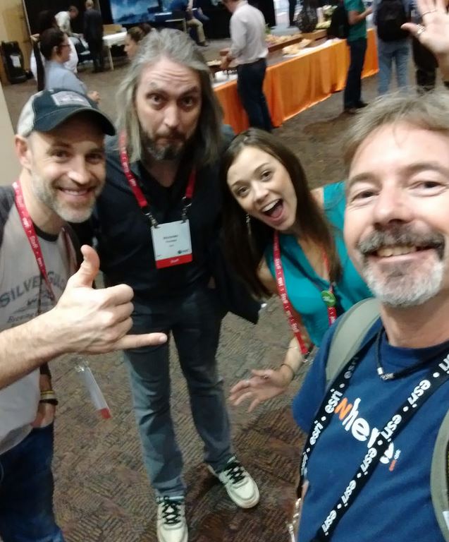
Always great to connect with other Geoetch Professionals, developers, and GeoGeeks!
