")

")
")

Admin Tools for ArcGIS®
Manage your ArcGIS® Online with confidence—bulk update, clone, and audit your org without hassle.
Backup My Org
Protect and restore your ArcGIS Online data with confidence. Backup My Org automates backups and recovery, reducing risk and ensuring business continuity.
Clean My Org
Easily remove outdated, duplicate, and unused items from your ArcGIS Online, saving time and keeping your system streamlined.
Symphony for ArcGIS
Set it and forget it. Scheduler for ArcGIS allows you to automate key processes in your GIS workflows, saving time and reducing manual work.
Many More Products!
Would you like to learn about other GEO Jobe products? Then please click the button below to learn more.
Did You Know GEO Jobe Offers Professional Services?
GEO Jobe’s professional services are built to meet you where you are, whether that’s deploying or upgrading your ArcGIS System, building custom apps, performing analysis for business intelligence, or unlocking insights with data science and geospatial AI. Would you like to know more?
World Class Products and Services
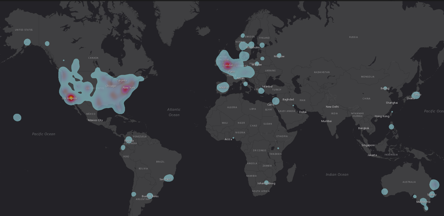
Over 12,000 Satisfied Customer Organizations and Counting
26yrs
26 Years of Serving Customers Globally
12000+
Over 12,000 Satisfied Customers & Counting
30+