GIS Services
GEO Jobe's GIS Services team offers a wide variety of services tailored to organizations at every level of GIS maturity. Whether you are just getting started with ArcGIS® Online, or you are running your own ArcGIS® Enterprise, our team of solutions engineers is here to support you. Get the most out of your investment in GIS by having our team provide training and assistance for all of the things that can get overwhelming otherwise. We even offer full or part time staff augmentation if you'd like to have a skilled resource available for a project, or just on call in case they are needed. Your GIS can be a well-oiled machine, and our team can make that happen.

Types of services we offer
Industry Packages
While GEO Jobe is industry agnostic, we have created several useful industry-focused packages based on our experience with those industries and their needs. Here are a few examples:
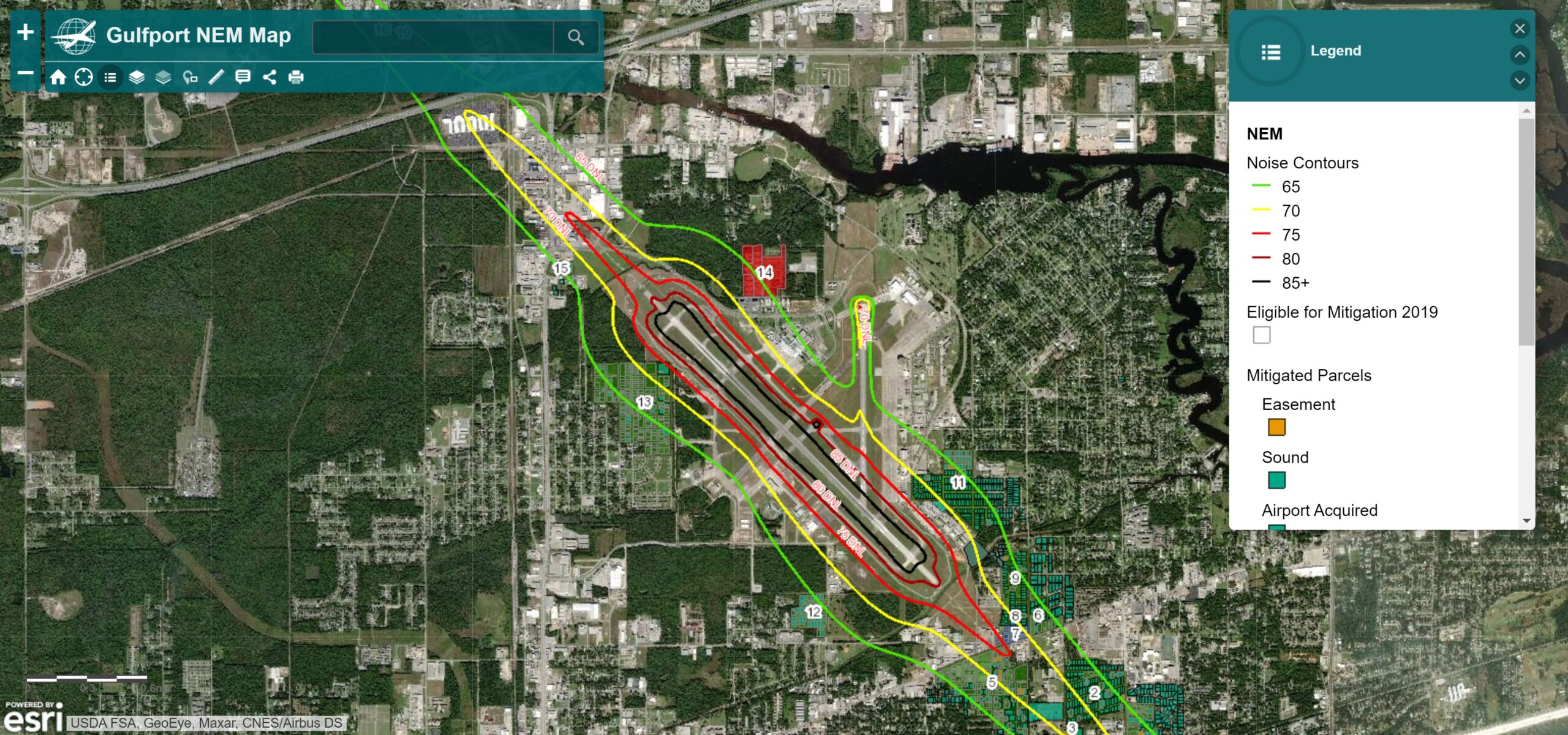
Airports
Managing an airport has never been more challenging. With the GEOPowered Cloud for Airports solution package, you can bring together information from across your organization to streamline operations. This package includes data migration, a web GIS launch, flexible organization users to meet your needs, and an allotment of support hours to assist you after deployment.
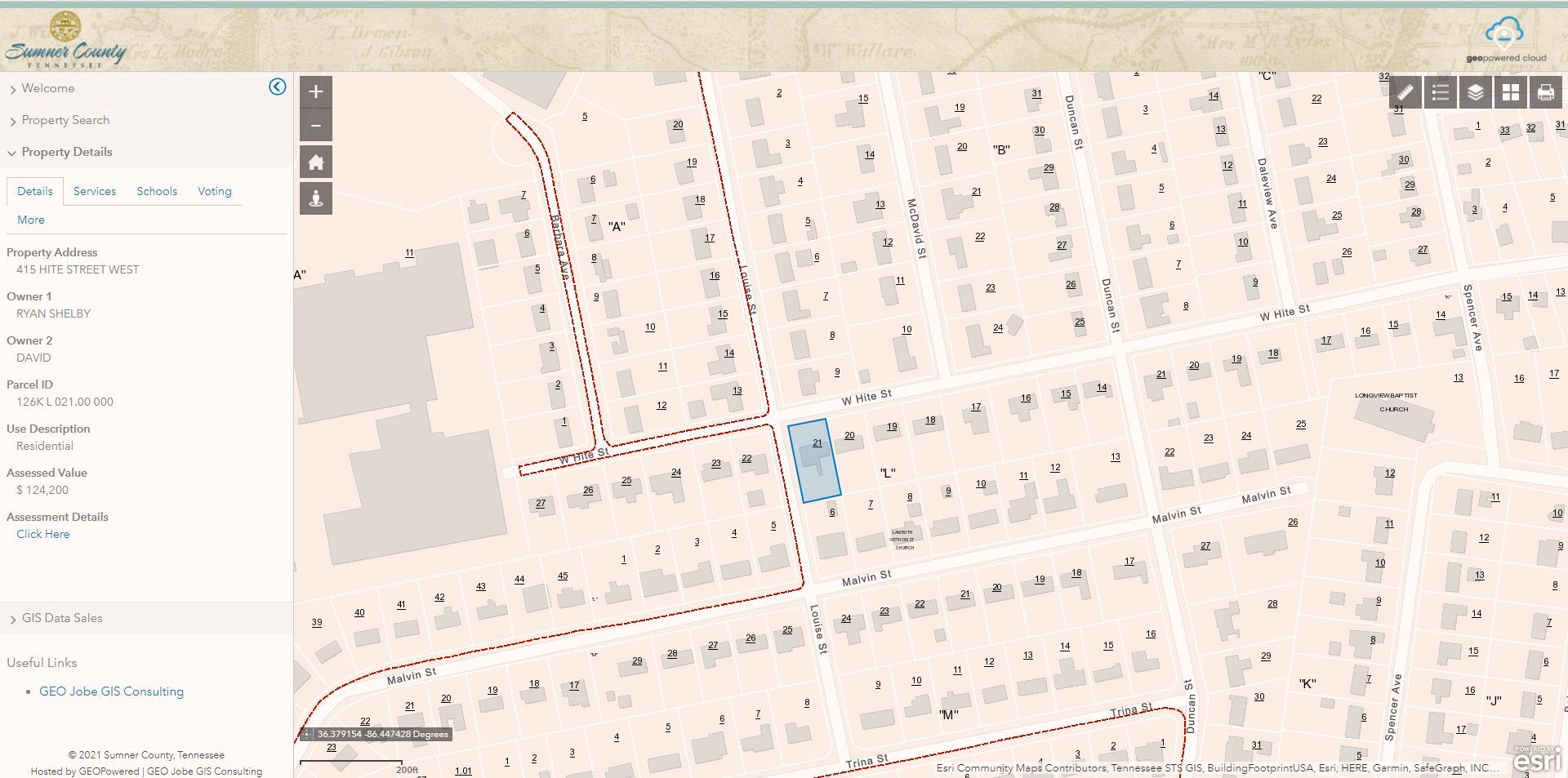
State and Local Government
Understanding the complexities State & Local Government organizations face regarding application and data development, GEO Jobe offers a collaborative approach to develop solutions to propel your community forward. We provide solutions for public works, equitable property value, property search applications, and custom solution packages to meet your organization’s needs.
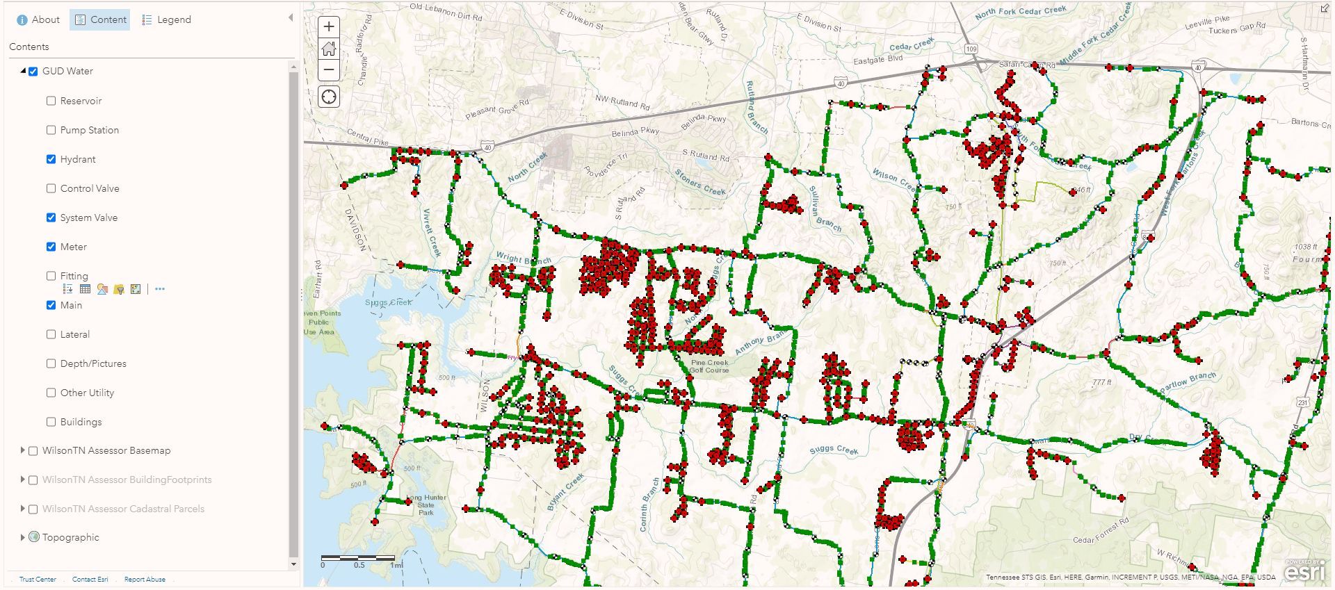
Utilities
Leverage the power of Esri’s GIS technologies to transform your utility operations and bring together information from across your organization to streamline day-to-day operations. This package includes data migration, a web GIS launch, flexible organization users to meet your needs, and an allotment of support hours to assist you after deployment.