Last week, one of the biggest annual events for GeoDevs took place – the Esri Developer Summit (or Dev Summit). This year, it was entirely virtual. That didn’t stop Esri from sharing lots of exciting information and interesting updates. Our team got some of the highlights together to share with you. Read on to learn more.

ArcGIS Platform
ArcGIS Platform is a new Esri product designed to allow developers to integrate geospatial services, data, and tools into their own applications. It is sold as a Platform-as-a-Service (PaaS). You can start with a free developer tier to get to know the platform, then use the consumption-based business model as your needs change and grow.
Calcite Design System
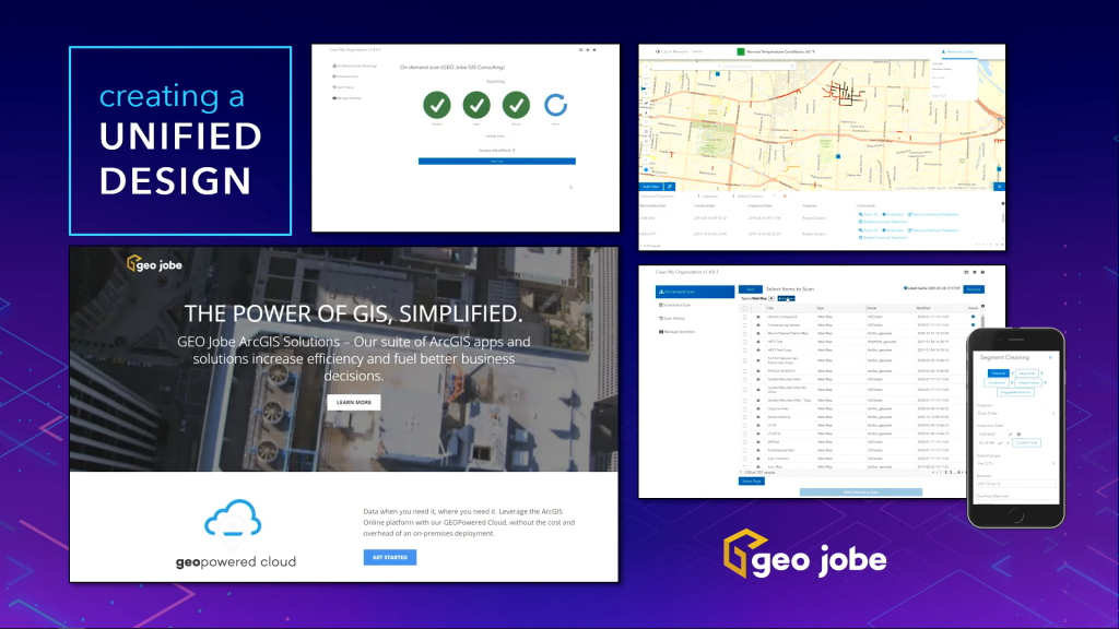
Next week, on April 22nd, Esri will release the Calcite Design System on the ArcGIS Developers’ site. Esri’s Julie Powell described a design system as “a collection of UI components, icons, and colours that come together and help you more efficiently create a consistent look and feel, and includes design patterns and best practices”. We are really excited about this design system and were honored to be featured as an example when Esri discussed unified design.

Geospatial AI
As more and more data with geospatial information becomes available, Geospatial Artificial Intelligence, or Geo AI, will only become a more vital tool for data scientists – which means GeoDevs will need to know how to implement it. Esri discussed GeoAI and highlighted some real-world applications for a good portion of their Day 2 plenary. Want to learn more about GeoAI, but aren’t sure where to start? Check out this article by Eric Goforth, our Director of Professional Services Software Development.
Kubernetes
In May of this year, you will be able to deploy ArcGIS Enterprise on Kubernetes. If you haven’t heard of Kubernetes, check out Timothy Michael’s article on Demystifying Kubernetes for a quick introduction. This cloud-native architecture “will enhance scalability, resilience, and manageability for ArcGIS Enterprise customers” (Source). Our Enterprise team can’t wait to help organizations learn how to leverage this technology for ArcGIS Enterprise deployments.
What’s Next?
Esri’s doing a LOT of cool stuff, so check out their blog for updates. The next big conference will be the Esri User Conference (UC), and you can register for that here, if you’d like to attend. If you want to see your work featured at the UC, you can submit images to be featured in Jack Dangermond’s Plenary Session until June 3 and maps to be featured in the virtual map gallery until June 4.


