 Accurate, High Resolution, Digital Mapping Services
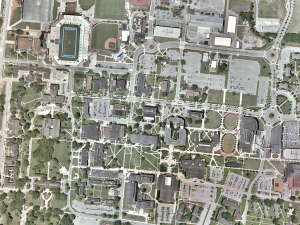
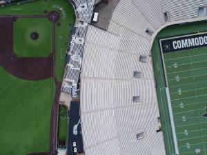
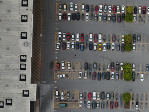
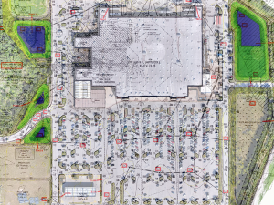
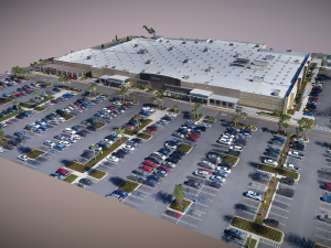
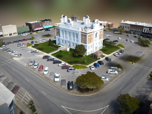
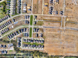
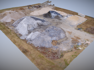
GEO Jobe has offered UAV services for more than a decade, collecting aerial imagery and creating digital mapping products. These solutions have become essential to workflows in a variety of industries, including utilities, local government, planning, surveying, and engineering. GEO Jobe’s UAV Team is able to quickly capture data and provide services at a competitive price, enabling clients to maintain current and accurate GIS data.
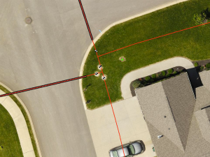
Our team consists of FAA Part 107-licensed pilots with hundreds of cumulative flight hours. We leverage a fleet of both fixed-wing and multi-rotor drones. We provide an array of sensor solutions, including standard RGB, thermal, LiDAR, and multispectral imagery. Our pilots are experienced in UAV data collection techniques essential to orthophotography updates, volumetric surveys, facilities management, CAD integration, 3D modeling, and more.
Common UAV product deliverables and industry uses include:
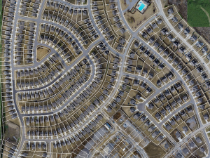
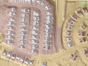
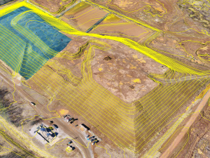
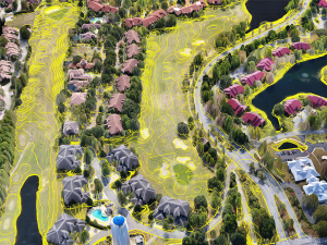
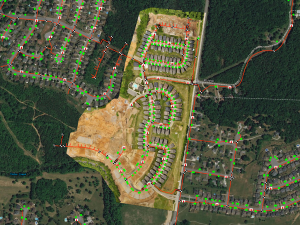
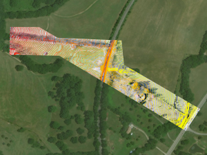
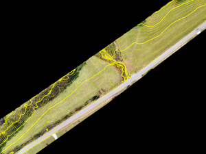
- Orthophoto mosaics at approximately 1-inch pixel resolution
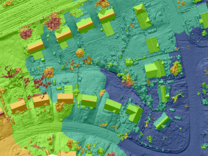
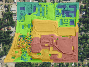
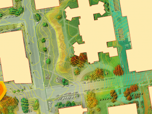
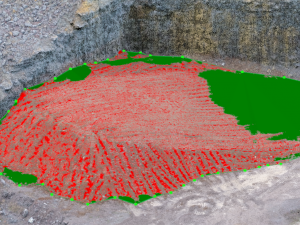
- Digital Surface Models (DSM)
- TIN models
- 1ft Contours
- 3D Point Clouds
- 3D Textured Mesh
- Image caching and services hosting
UAV Mapping Products: Web App Example Gallery

GEO Jobe UAV Resources:
- GEO Jobe UAV Product Example Gallery
- GEO Jobe UAV Image Gallery ( Instagram )
- @geojobeUAV on Twitter
Click here for the latest UAV news, updates, and case studies on our MapThis! blog.
Strategic Partnerships:
Call for more information about GEO Jobe UAV Mapping Services: 1.844.GEO.Jobe or Request UAV Service Information using the link below.