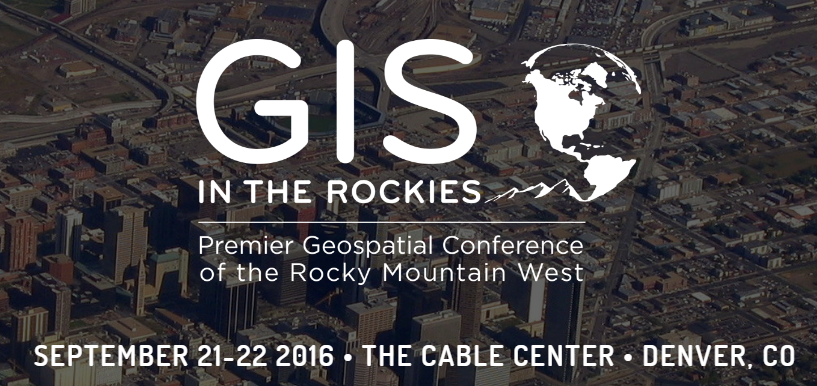
GIS in the Rockies is always an enjoyable, informative, and educational event for GIS, mapping, and technology professionals. The event attracts attendees mostly from in and around the Colorado Front Range, although a number of professionals to migrate to the event from nearby places like Utah, California, Texas, Wyoming and other regions. We were pleased to be present at this fine event, particularly as the industry makeup closely reflects the user-base of our Admin tools, Mapfolio, and geopowered cloud solutions for ArcGIS Online.
We estimate that there was between 500-650 attendees at the event, mostly made up of professionals from utilities, energy, local government, GIS in higher education and academia, and private sector consultants and solution providers. Talks were focused on Esri and Open Source technologies, with about 100 paper sessions delivered over the two days. Sessions were organized mainly around the following topics: FOSS4G and Open Source, GIS in Conservation, Drones data and technology, and GIS in Education.
It was great to connect with many of the attendees to learn about their solutions, needs, and technological innovations. We gladly “shmoozed” with the GeoGeeks, discussed the latest developments with our Admin Tools for ArcGIS online (update coming very soon!), our newly released Mapfolio V 2.0, and our “in-app” advertising options within the popular, Free Admin Tools for ArcGIS – a great way to reach ArcGIS Administrators and decision makers from almost 3,000 user organizations with your message! It was great to see many folks walk off with one of our cool, MapThis! stickers!
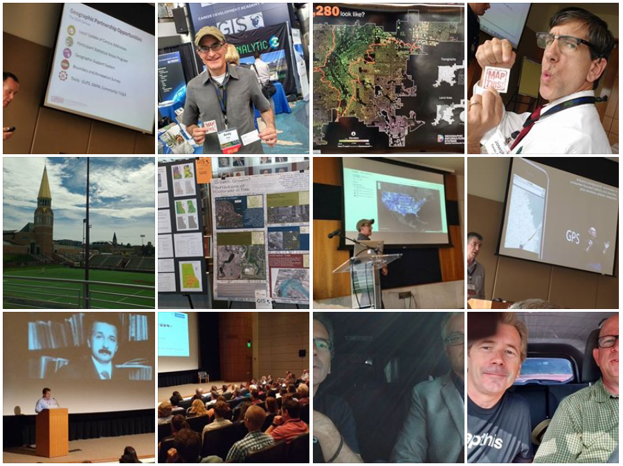
We captured several video interviews (more to come soon) as well as a number of images from the event. Enjoy this GIS in the Rockies photo Gallery posted on our Facebook Page – or click on image above. For those of you that we met up with, thanks for the conversation and congrats to the event organizers on a fine event.
See more about the event at http://gisintherockies.org/


