


We’re still growing here at GEO Jobe, the latest addition to our team is Jeff Lawrence (@jalaw3) who’s working in a key role here in business development for UAV / drone and aerial mapping services. Jeff, the 3rd licensed UAV pilot to join the team, will be working with new and existing clients from utilities (electric, oil and gas, water), local government, agriculture, forestry, insurance, construction, real estate, and facilities management, to provide them with solutions that span custom GIS development, web mapping, aerial mapping, 3D data , and cloud hosted solutions via our Geo Powered Cloud, the perfect integration with UAV data projects!
About Jeff and his position with GEO Jobe:
Lawrence is a licensed UAV pilot and experienced professional skilled in GIS project management and data planning projects. The addition of Jeff to GEO Jobe brings the total number of licensed pilots on the team to 3.
Lawrence, a graduate of University of Kentucky, comes to GEO Jobe with 30 years experience in project management, planning, GIS application development, and geospatial services in public and private sector environments. Prior to joining GEO Jobe, Jeff was a Project Manager with Collier Engineering and previously, an assistant to the executive director of planning with the Nashville Planning Dept.
With a fleet of Unmanned Aerial Vehicles (UAV’s, or drones) GEO Jobe is now offering high resolution low altitude orthophotography services (see geo-jobe.com/
For more information about GEO Jobe’s UAV services, including sample projects, images and videos see http://www.geo-
See the official announcement on the PRLog newswire
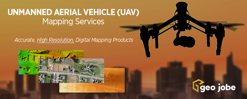
See more about our UAV Services HERE
