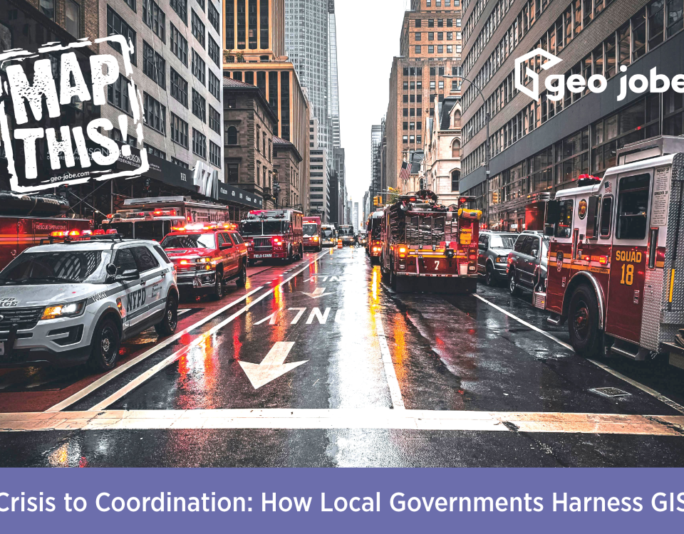
With a number of communities experiencing damage and subsequent flooding from the recent hurricane (Florence), it’s useful to remember Esri has a Disaster Response program where you can request assistance and additional support. Community organizations, technologists, and others have made data, maps, and web apps available to the public through this platform.
Tag: emergency response
Web Maps Providing Situational Awareness and Tracking #HurricaneFlorence
During times of crisis, emergency, and destructive weather incidents, we look to real-time maps. They are a crucial component in emergency response, disaster monitoring, and reporting. Tools like web GIS, vector maps, open data feeds, and the like are at our disposal. Many useful web resources are available to us to support situational awareness and […]
Interactive Maps – A Crucial Resource for Tracking Wildfires and Saving Lives
Sadly, we are once again witnessing another hot, dry summer and the prospect of a very busy fall wildfire season. As we know, wildfires are fast moving, deadly, and violent. Having access to real-time, accurate data and warnings is crucial for saving life and property. There are many resources to help inform the public and provide […]
Geospatial Community Responding to Crisis with Public Information California Wildfire Maps
Sadly, here we go once again with wildfires in the news and the wildfire season is again upon us [California]. Many of you, our friends and colleagues, live, work and play in areas that are prone to extreme heat, winds and wildfires. It is also reassuring to see and hear about some of the great […]
New Esri Interactive Map Tracks Northern California Wildfires and Shares Traffic Updates
Recall, we recently shared a blog post that prodvided pointers to public wildfire incident updates along with 10 useful wildfire maps and webmaps of interest. Building on this, Esri has just shared details of another new map to help inform the public. Using live data from USGS and Waze, this Esri interactive map visualizes active […]
NorCal Wildfire Maps – Resources, WebMaps and WildFire Public Information Updates
Sadly we are once again witnessing another terrible tragedy unfolding, this time in the Northern California wine country region just north of San Francisco, CA. The wildfires ravaging the area are fast moving, deadly, and violent and we hope our friends and colleagues in the area are all safe. There’s many resources to help inform […]
5 Things on Friday #46 – Esri R&D Resources, Emergency Response Solutions, Halfway Meeting Tips!
Time for another, end of summer edition of 5 Things on Friday. We’ve shared a couple of really cool Esri R&D resources, a handy travel planning meetup map tool, some emergency response tips, and a few other gems – enjoy! Got a tip for a future edition? Please share with us in a comment below […]
Hurricane Irma Emergency Response Maps and Useful, Public Information Webmaps
There’s many maps, webmaps and web resources available online to support the response to Hurricane Irma. These range for traffic maps, evacuation routes, shelter locations, wind speed and direction information and much more. The GeoTech community and many organizations are putting together these fine resources in order to inform the public and keep people safe.
GIS Lessons and Resources for Managing Flood-Related Disasters
Sadly, as expected by experts, the 2017 hurricane season is turning out to be busy and deadly. While responders and local officials along the Texas and Louisiana Gulf Coast are still dealing with the cleanup from Harvey, Irma is barreling towards the Eastern seaboard and the Gulf Coast, picking up speed and strength with each […]