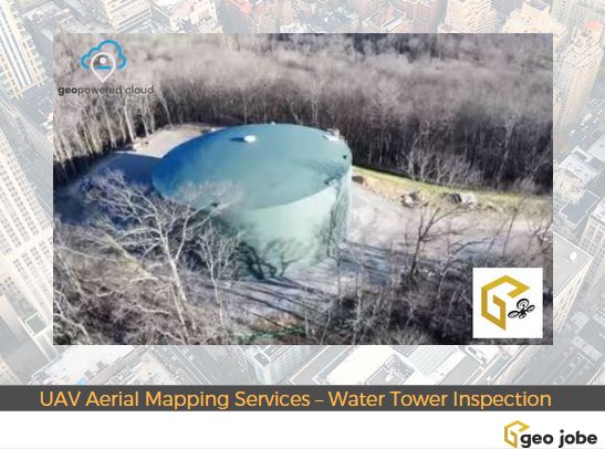
During the winter 2016/2017, Geo Jobe GIS Consulting UAV aerial mapping services were selected to provide asset inventory aerial inspection and mapping of the HB&TS – Hillsboro, Burwood & Thompson’s Station Utility District – WaterTank (Tennessee). Imagery and video was captured via UAV mission pre, during, and post construction.
The GEO Jobe crew currently has three FAA licensed UAV remote pilots experienced in UAV and mobile data collection techniques for orthophotography updating, corridor mapping, asset inventory, terraan modeling, 3D building design models and more. GEO Jobe is prepared to support your mapping projects with a fleet of 4 drones using the latest UAV technologies. This new offering is a cost effective and efficient way for clients in local planning, economic development, utilities, construction, forestry, mining, agriculture and other industries to keep their existing data current, accurate, and updated.
GEO Jobe is a Nashville, Tennessee based GIS professional service provider offering UAV data capture and aerial mapping services, data processing and UAV image hosting.
See HERE for more information on our UAV & aerial mapping services.
See also @geojobeuav on Twitter and Instagram.


