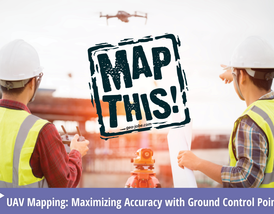
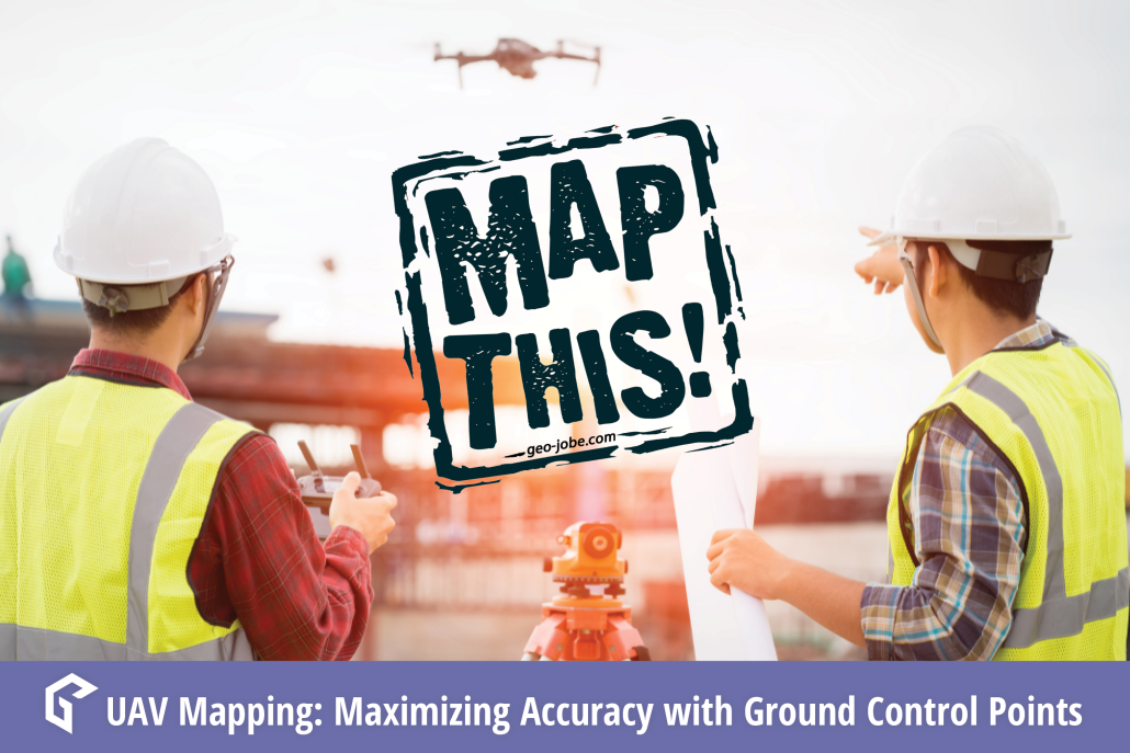
In the world of geospatial mapping, precision is everything. Enter Ground Control Points (GCPs)—the unsung heroes that ensure our digital maps and images align perfectly with […]
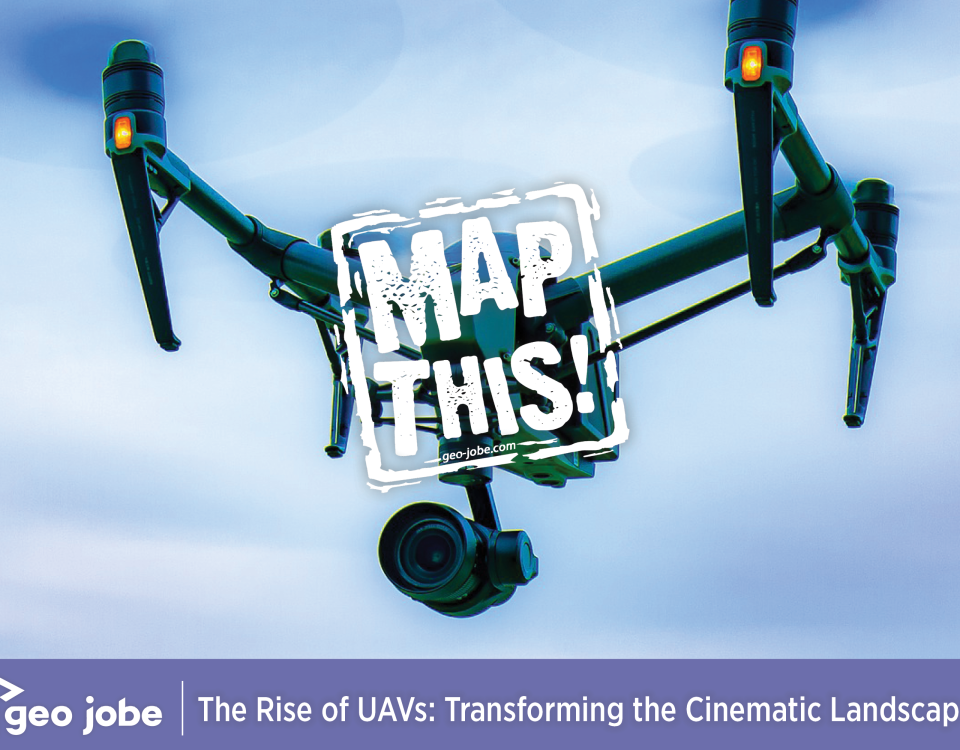
Image by Richard Bolan from Pixabay In recent years, Unmanned Aerial Vehicles (UAVs), commonly known as drones, have revolutionized the world of filmmaking. UAVs capture breathtaking […]
Tree Canopy Classification – Vanderbilt University Campus Nashville Quantifying tree canopy cover across expansive areas has historically been a time-consuming endeavor, often reliant on labor-intensive field […]
Vertical assets such as communications, tall buildings, or water towers are difficult and dangerous to inspect. For this reason, UAV technology is quickly becoming the preferred […]
Photogrammetry is the art, science, and technology of obtaining reliable information about physical objects and the environment through processes of recording, measuring, and interpreting photographic images […]
Common terms and abbreviations: UAV = Unmanned Aerial Vehicle sUAS = small Unmanned Aircraft System (less than 55lbs) RTK = Real Time Kinematic, high accuracy gnss […]
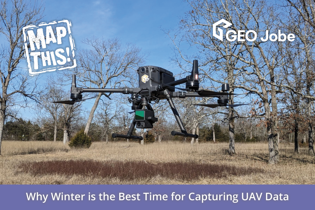
Winding down the year is a good time to reflect on the changes, applications, and direction of the small Unmanned Aerial Systems in the mapping industry. […]
Sharing data can be a touchy subject. In general, it seems that people and institutions do not like their research and findings being freely accessible to […]
It is not uncommon for organizations to supplement their GIS data with aerial imagery captured from a manned aircraft or drone. This perspective may come as […]


