
The Root of the Challenge: Security and Access
Managing sensitive geographic information is one of the most persistent challenges for modern GIS professionals. When dealing with diverse user groups who all need varying levels of access to the same underlying data, administrators typically face a frustrating workflow. One approach some organizations take is to publish separate services for different user groups. As access requirements grow, this can lead to a proliferation of services, web maps, and applications to maintain. This means chopping up geographic data for specific regions, creating unique web maps that only contain the layers permitted for a specific group, and manually filtering each layer to limit what individual users are allowed to see. Ultimately, GIS administrators end up spending countless hours managing redundant data, duplicating services, and maintaining the sprawling web of applications required to access them.
There is a Solution
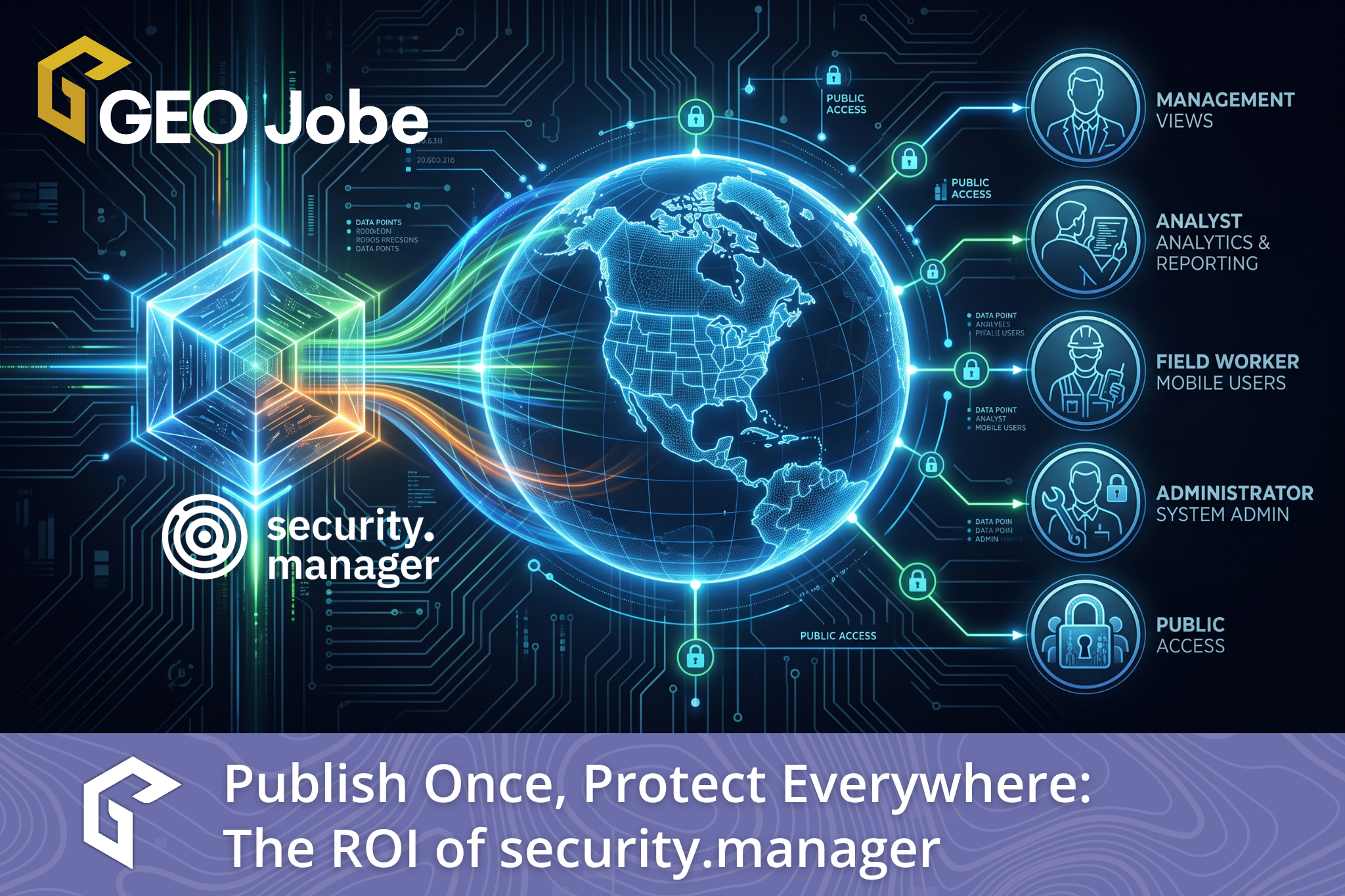
Fortunately, there is a proven alternative that completely changes this dynamic. Developed by con terra, security.manager is an extension for ArcGIS Enterprise designed to add advanced data protection capabilities to your infrastructure. The primary goal of this solution is to make sharing data smarter, easier, and significantly more secure. It achieves this by giving you the ability to dynamically filter content based on spatial areas, individual layers, specific features, and even individual attribute fields, all from within a single ArcGIS Enterprise service.
The Value Provided
The value proposition here is twofold. First, the extension ensures that specific content within a service is only available to those who explicitly require it. This protects sensitive information while ensuring it remains highly available to the people who actually need it to perform their duties. Second, it drastically reduces the administrative effort and computing resources required to serve different content to various groups. By completely removing the need to slice up data and publish multiple redundant services, GIS teams can reclaim their time and focus on more important analytical work.
How It works
The underlying security concept of this extension relies on a holistic approach that operates right down to the layer, spatial, object, and field levels. One of the greatest benefits of this smart security system is its complete transparency. A user working with a protected service will not even realize that security measures are in place. The extension integrates seamlessly without changing the user experience. Users interact with the service exactly as they normally would, but their view is strictly limited to the content they are authorized to see.
The permissions framework is built on a strict explicit access model. Permissions must be explicitly expressed in the system. If a right is not explicitly allowed, it is automatically denied. This avoids granting access by accident, giving administrators total control. Furthermore, users will never receive any notifications or clues about the existence of hidden content they are not entitled to view. Once a permission is created with just a few clicks, it becomes instantly active. As Eugen Gass from Wintershall Holding GmbH explains, without this solution, their organization would still be forced to keep their geodata inaccessible. The software opened up completely new possibilities for them to offer GIS based web services while precisely controlling access for users with different permissions.
A Tried and Tested Solution
With over fifteen years in the market, this mature and widely accepted security solution has proven its worth across a massive variety of industries and organizations. Reviewing real world success stories provides excellent insight into how flexible the software truly is.
City of Winter Park, Florida, USA
In the United States, the City of Winter Park in Florida utilizes the software to maintain fine grained control over their department centric ArcGIS Web AppBuilder applications. While any city employee can access the applications, they only see the specific data they have been granted access to. The GIS administrators achieve this by creating security roles that mirror actual staff activities. For example, an employee tasked with collecting hydrant flow data is placed in a Hydrant Flow Inspector role. This role limits their edit access to a single hydrant layer and strictly limits their view to specific attributes, such as an indirect table containing historical flow measurements. The city also extended this system to centralize their work order management. Keith Gerhartz from the City of Winter Park noted that the extension allowed them to create just one web map and one web app for each department. By establishing user roles, they gained improved control and functionality while simultaneously reducing their overall costs.
Mobiliar Insurance, Switzerland
In Switzerland, Mobiliar Insurance operates as the largest property insurer in the country. They are deeply invested in raising awareness about natural disasters and use a tool called MobiGIS to visualize the dangers of floods, landslides, avalanches, and rockfalls. This tool helps them identify which customers are at risk. Because the system utilizes highly sensitive contract details, the extension ensures that confidential customer data is only visible to dedicated and authorized users. Additionally, the software controls the access of sales representatives, ensuring they can only view data within their specifically assigned sales regions.
TenneT, Germany
Finally, TenneT, a leading European electricity transmission system operator, manages over twenty three thousand kilometers of high voltage connections. They use a spatial data infrastructure called GeoSys to provide resource information over the entire lifecycle of their assets. This includes network information on lines and facilities in both onshore and offshore sectors. Because this proprietary network data is a critical asset to the company, they use the extension to ensure that every single employee can securely access exactly the data they need to do their jobs, but absolutely nothing beyond that scope.
The Value is Clear
By implementing a dynamic filtering system, GIS professionals can escape the endless cycle of creating custom services and applications. It takes only a few clicks to assign permissions for resources and establish complex filters at the feature, field, or spatial level. You can save countless hours of administrative overhead and finally secure your sensitive data with confidence.
See How security.manager Works
To truly grasp the power and simplicity of this solution, you need to see the user workflows and filtering mechanics for yourself. I highly encourage you to view the official Story Map created by con terra, here to see the software in action. The interactive presentation provides a fantastic, hands on perspective of how this technology can revolutionize your ArcGIS Enterprise architecture and protect your most valuable geographic data.
GEO Jobe resells security.manager in North America and provides initial support as needed. Security.manager is a product of con terra. If you are interested in learning more about security.manager, reach out to us at connect@geo-jobe.com.
About Our Company
GEO Jobe is a leading GIS software and geospatial solutions provider, serving more than 12,000 organizations globally. The company is most known for developing some of the industry’s most popular applications, including Admin Tools for ArcGIS, Backup My Org, Clean My Org, Manage My Attachments, and Symphony for ArcGIS.
GEO Jobe offers U.S.-based 24/7 Support for organizations using Esri’s ArcGIS© System. GEO Jobe also offers professional services focused on Esri’s ArcGIS System, including custom software development, enterprise solution implementation, data science and UAV data collection.
Founded in 1999, GEO Jobe has been in operation for more than 25 years and an Esri business partner since 2002, and is currently a Platinum Partner.