
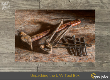
Unpacking the UAV tool box… You have to be prepared for anything when you head to the field to fly. In this video our UAV pilot, Jeff, walks us through a quick tour of the tool box that goes with the crew into the field when they are flying a UAV mission. This is just a small sampling of how you need to be prepared and you want to have a Pro in your corner when planning to use UAV technology for your mapping efforts.
The GEO Jobe crew currently has three FAA licensed UAV remote pilots experienced in UAV and mobile data collection techniques for orthophotography updating, corridor mapping, asset inventory, terrain modeling, 3D building design models and more. GEO Jobe is prepared to support your mapping projects with a fleet of 4 drones using the latest UAV technologies. This new offering is cost-effective and efficient way for clients in local planning, economic development, utilities, construction, forestry, mining, agriculture and other industries to keep their existing data current, accurate, and updated.
