Winding down the year is a good time to reflect on the changes, applications, and direction of the small Unmanned Aerial Systems in the mapping industry. This has been another year of rapid and dramatic changes in the drone world. Waivers and authorizations are still big topics. Drone for delivery is creeping into the picture […]
Author: Jeff Lawrence
Making the point with UAV
A question came up recently in a conversation about the different products and stages of processing and presenting data captured by UAVs. I’ll use a recent construction monitoring project to demonstrate some nice examples of the various stages of the photogrammetric processing workflow. This will also show and describe some of the products and deliverables […]
A Check List For Flying UAV
There are certain things you can count on with almost any Unmanned Aerial Vehicle (UAV) job. Something will go wrong is one of those. It is almost as if the adage “One is none, two is one”, was made for UAV jobs. One of the pillars of Project Management is to identify and mitigate risk. […]
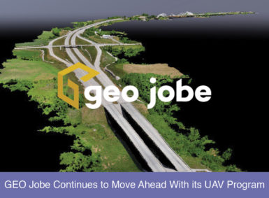
In this, the 20th year of GEO Jobe GIS Consulting, it’s a good time to look ahead.
In this, the 20th year of GEO Jobe GIS Consulting, it’s a good time to look ahead as GEO Jobe continues to advance with its UAV program. Drone technology has advanced tremendously in the last 3-5 years and it continues to develop rapidly. General computer technology continues to advance as well. Advances in storage, processing, […]


