San Diego Convention Center, San Diego, California
Get ready for an unparalleled GIS experience at the Esri User Conference (UC), happening July 15th-19th at the stunning San Diego Convention Center! But don’t wait until the main event—kick off your experience with exclusive pre-conference sessions on July 13th and 14th!
This year’s UC promises to be a global gathering of the brightest minds in the Esri User Community. Whether you’re eager to explore the latest in GIS technology, get a sneak peek at future innovations, discover cutting-edge best practices, or connect with fellow professionals, this is the must-attend event of the year.
We’re excited to announce that GEO Jobe is not only a proud Bronze Sponsor for this year’s UC but also celebrates its debut as a Platinum Partner of the Esri Partner Network—a major milestone as we approach our 25th anniversary!
And as a Platinum Partner with MANY User Conferences under our belt, here’s our carefully crafted guide to making your UC experience one to remember!
Connect with Industry Experts and Explore Cutting-Edge GIS Products at the Esri UC Expo
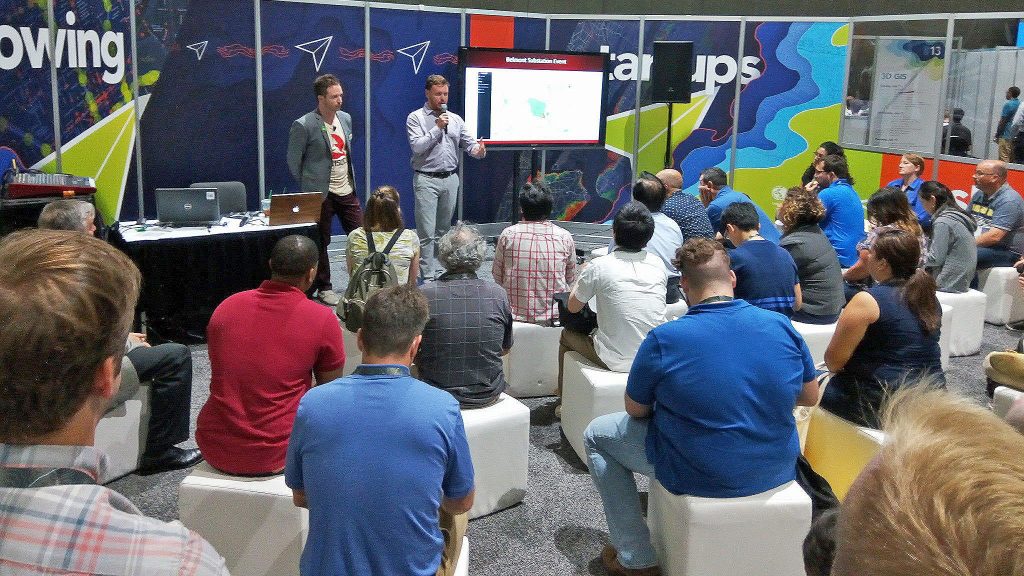
Join over 2,000 Esri staff and 200 exhibitors at the Esri UC Expo, where the world of GIS comes alive. This is your chance to engage with industry experts, gain practical insights, and uncover cutting-edge solutions.
At the Expo, you’ll find:
- Partner Presentations: Esri Partner Network (EPN) members will showcase how they utilize ArcGIS technology to drive customer success.
- Networking Opportunities: Connect with Esri partners from across the globe to explore new solutions and accelerate your workflows.
- Specialty Zones: Visit areas dedicated to EPN members with expertise in startups, education, and federal agencies.
- Esri Showcase: Dive into the GIS Product and Industry Areas, get personalized feedback, and explore Esri’s Hands-On Learning Lab with self-guided courses.
Don’t miss this opportunity to expand your GIS knowledge and network with leading professionals in the field!
Meet the GEO Jobe Team at the Expo!
Come see us at booth #1819 during this year’s Esri User Conference Expo to visit with our team and chat one-on-one with our pros about game-changing solutions for your organization!
We’ll be available to answer any questions you might have about our suite of ArcGIS tools, including Admin Tools, Backup My Org, Clean My Org, as well as our latest application, Scheduler for ArcGIS! Our solution-driven applications empower your ArcGIS Enterprise or ArcGIS Online administrators with improved streamlined workflows and equip them in managing your ArcGIS Organization – all while saving money, time, and effort!
Do you have an idea for a software application, minus the resources to bring it to life? Chat with us about our Custom App Services!
Does your organization need to offload on-call support services for a range of GIS and IT needs? Ask us about our 24/7 U.S.-based Support offering!
Oh, and don’t forget the free swag ;)

Plenary: Uniting Conference Attendees
The UC Plenary kicks off the Esri User Conference, and this year’s theme is GIS—Uniting Our World.
Jack Dangermond will open with his keynote presentation exploring the use of GIS and address how geospatial technology is uniting the globe.
Throughout the first morning session, Jack will share impactful stories from Esri’s global user community, showcasing ways the geographic approach can reveal patterns, solve problems, and enhance collaboration.
This Year’s Keynote Speakers
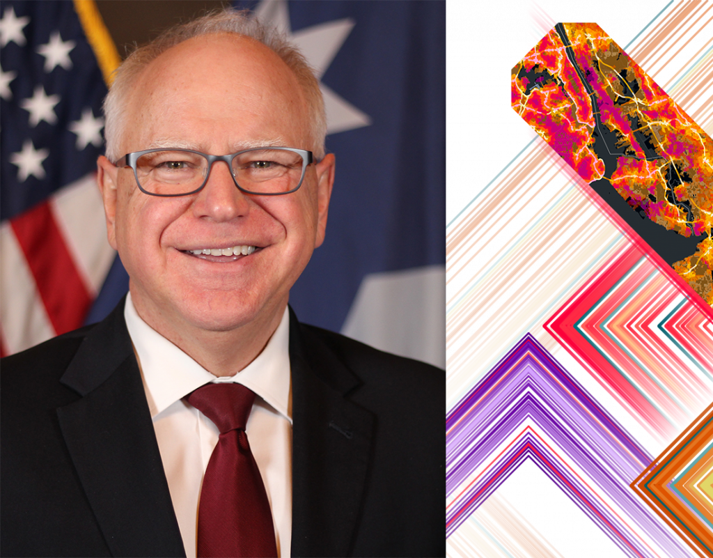
Minnesota Gov. Tim Walz and National Geographic Photographer Jeff Kerby, PhD (Image courtesy Esri)
This year’s keynote guest speakers are Minnesota Governor Tim Walz and award-winning National Geographic Society Explorer and Photographer Jeff Kerby, PhD.
Special Guests
Discover powerful examples of how organizations are using geospatial tools and location intelligence to address local and global challenges, including climate change, redevelopment, urban forestry, infrastructure services, and more.
Enjoy presentations led by guests from the following organizations:
- Miami-Dade County, Florida
- The Crown Estate, United Kingdom
- Central San, California
- The Public Authority for Civil Information (PACI), Kuwait
- Marriott International
- Urban Redevelopment Authority and National Parks Board of Singapore
Team GEO Jobe’s Recommended Live Sessions
Development
- Transactions in GIS: Innovations in GI Science | Tuesday, July 16, 10:00 AM – 11:00 AM PDT
- Using Python Notebooks and Reports to Supercharge Administrative Workflows | Wednesday, July 17, 11:30 AM – 11:50 AM PDT
User Presentations
- Health Departments Streamline Workflows for Homelessness and Mental Hygiene | Tuesday, July 16, 8:30 AM – 9:30 AM PDT
- Robust GIS Foundations for Smart Campus Operations | Tuesday, July 16, 8:30 AM – 9:30 AM PDT
ArcGIS Enterprise
- Enterprise Geodatabases: Performance Troubleshooting | Thursday, July 18, 4:00 PM – 5:00 PM PDT
- ArcGIS Enterprise: What’s New | Wednesday, July 17, 10:00 AM – 11:00 AM PDT or Thursday, July 18, 4:00 PM – 5:00 PM PDT
ArcGIS Online
- ArcGIS Image for ArcGIS Online: Processing and Analyzing Imagery | Tuesday, July 16, 10:00 AM – 10:45 AM PDT or Wednesday, July 17, 2:30 PM – 3:15 PM PDT
ArcGIS Pro
- ArcGIS Pro: What’s New | Wednesday, July 17, 8:30 AM – 9:30 AM PDT
Education and Support
- Adoption Strategies: Preparing Your Organization for GIS | Wednesday, July 17, 1:00 PM – 2:00 PM PDT
Technical Workshop
- GeoAI in ArcGIS | Tuesday, July 16, 1:00 PM – 2:00 PM PDT or Friday, July 19, 9:00 AM – 10:00 AM PDT
- Presentation Skills Workshop | Monday, July 15, 12:30 PM – 1:30 PM PDT or Tuesday, July 16, 7:00 AM – 8:00 AM PDT or Tuesday, July 16, 11:30 AM – 12:30 PM PDT
- 3D GIS: An Overview |Tuesday, July 16, 8:30 AM – 9:30 AM PDT
- ArcGIS Pro: Working with BIM Data | Tuesday, July 16, 8:30 AM – 9:30 AM PDT or Thursday, July 18, 8:30 AM – 9:30 AM PDT
Demo Theater Presentation
- Trends in State and Local Government | Tuesday, July 16, 10:00 AM – 10:45 AM PDT or Tuesday, July 16, 2:30 PM – 3:15 PM PDT
- ArcGIS: Location Sharing and Visualization in Wildland Fire Management | Tuesday, July 16, 10:00 AM – 10:45 AM PDT
- GeoAI for Identification of Assets | Tuesday, July 16, 10:00 AM – 10:45 AM PDT
Partner Lightning Talks
Spatial.Host: A Fully Managed Geospatial Hosting Platform – Features and Roadmap
Tuesday, July 16, 10:00 AM – 11:00 AM PDT (12:00 PM – 1:00 PM CDT)
Presented by GeoMarvel’s Jon Nordling and Mathew Milideo
Join our partner GeoMarvel for an illuminating lightning talk on Spatial.Host, the premier fully managed Geospatial Hosting and Deployment Platform. Discover how they simplify cloud hosting, automate deployments and backups, create robust security controls and provide managed services with high availability and auto-scaling capabilities.
Dive into their feature-rich roadmap and see a compelling customer success story from SkySkopes. Witness a live demo of Lucinetic’s cutting-edge GeoAI integration with Spatial.Host. Don’t miss this opportunity to see how you can revolutionize how you’re managing your geospatial systems!
Not to Miss Opportunities
- Esri Services Appointments: This is your chance to connect with Esri experts to get feedback on your maps, apps, and data. They are offering valuable guidance and feedback for designing, implementing, and strengthening your geospatial solutions.
- Esri 5K Fun Run/Walk: Join fellow attendees along the scenic San Diego waterfront. Regardless of your pace, you can pound the pavement with the Esri user community by your side. Participants aged 18 years and over are welcome to join.
Family Night at the Expo: A Fun-Filled Evening Awaits!
Looking for a great way to introduce your loved ones to the fascinating world of GIS? Family Night at the Expo is the perfect opportunity for family and friends to dive into the wonders of GIS together!
On Wednesday, July 17, from 4:00 p.m. to 6:00 p.m., the San Diego Convention Center’s Expo Hall will be transformed into a vibrant playground of interactive exhibits and engaging activities. This special event is exclusively open to anyone accompanying a registered Esri UC attendee, so bring your family and friends along for a memorable experience.
Explore exciting partner exhibits, enjoy hands-on activities, and discover the incredible applications of GIS technology in a fun and welcoming environment. Don’t miss out on this fantastic chance to learn and play together!
Mark your calendars and follow us on social media for snapshots and updates throughout the conference. This is your chance to be at the forefront of GIS technology and connect with industry leaders.
See you in San Diego!
Want to set-up a meeting with our team to discuss solutions for your organization? Contact us at connect@geo-jobe.com, or call 1-844-GEO-JOBE to discuss how we can help!
Want more? Check out these other articles from our MapThis! blog:
- Weaving Web Maps: Visualizing Item Dependencies in ArcGIS
- Get To Know Your Toolbox: Top Tools & Technologies Used in GIS Services
- Scheduler for ArcGIS: Scheduling Automatic Email Reports
- Crisis to Coordination: How Local Governments Harness GIS
- Scheduler for ArcGIS: Automating Admin Tasks in ArcGIS
- Backup My Org 1.4 is Now Available
About Our Company
GEO Jobe is a leading GIS software and geospatial solutions provider, serving over 10,000 organizations globally. GEO Jobe is best known for developing the most popular applications in the ArcGIS Marketplace, including Admin Tools for ArcGIS, Backup My Org, Clean My Org and Scheduler for ArcGIS.
GEO Jobe offers U.S.-based 24/7 Support solutions for organizations using Esri’s ArcGIS© System. GEO Jobe also offers professional services focused on Esri’s ArcGIS© System, including custom software development, enterprise solution implementation, data science and UAV data collection.
Founded in 1999, GEO Jobe is in its 25th year of operation, has been an Esri business partner since 2002 and is currently a Platinum Partner.

