

Photo by Element5 Digital from Pexels
I am a huge lover of video games, and especially their maps and environments. Growing up on a wide variety of games and exploring all their nooks and crannies looking for the next bit of treasure was always fun. Over the years, I have seen the in-game maps improve, worlds become larger and more diverse, and even been able to see how areas looked historically.
That said, it had me curious about how game studios create these environments. Sure, some are purely fantastical and someone’s brain child, but others involve real places in the world today and throughout history. How did they decide what goes where, what it should look like, how it should all act, and so on?
Much to my excitement, I found out that many of the games I enjoyed used GIS data to make these decisions!
Many studios reference, or even utilize, GIS data to assist in the generation of terrain, environmental simulations, and can even be a mechanic of the game itself! Check out a list of some of these games below and how they utilize GIS!

Photo by Chevanon Photography from Pexels
Microsoft Flight Simulator 2020
One example of this is the 2020 release of Microsoft Flight Simulator. The development team created a system that imports real-life data from Bing Maps and, through photogrammetry and AI processing, carries it over into the game.
It processes HUGE amounts of data through a Microsoft Azure database to create its realistic landscapes and even updates them so that the player can really see the world while they travel as it actually appears. Imagine looking down while piloting an aircraft and actually seeing your home in game!
Even weather data is collected in near real-time to allow players to experience storms that are actually occurring in areas that they are traveling through as they happen in real life!
Assassin’s Creed Series
Another utility for GIS data in games has been the creation of historical sites and cities in games. One such game series is Assassin’s Creed. Whilst some creative freedoms were taken, many of the areas and landscapes created were done utilizing GIS data and historical research to recreate them as accurately as possible.
The majority of the locations used throughout the series are actual locations around the world. In fact, there is even a story map that a private member published that you can explore to learn more about the regions and history, and how they compare to what is presented throughout the game series.
Check it out here: Assassin’s Creed Story Map

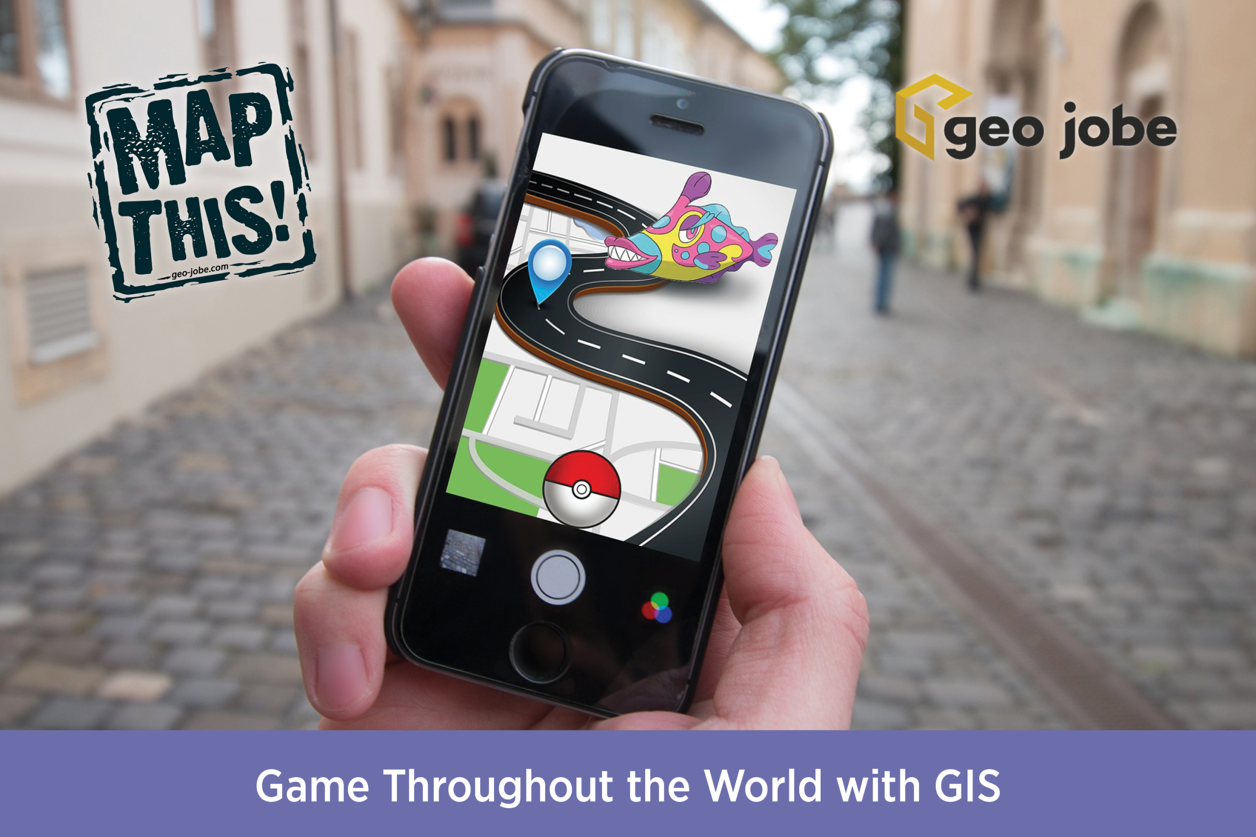
Pokémon GO and Minecraft Earth
Other games utilize a player’s real-life location as a game mechanic. Pokémon GO and Minecraft Earth are two prime examples of this, as they require the player to actually visit and explore to find resources, catch Pokémon, etc!
I even played one of these for a while, and it was a great excuse to get out and go places! If you want to progress in these games, you have to go out and check out the sights and visit places. It’s a fantastic use of mapping data and geopositioning to create an immersive and interactive experience.
The Division Series
For those unfamiliar with The Division, it is a game that takes place in a post-apocalyptic world with the first game set in New York City, and the second in Washington, D.C.. In both of these games, players traverse the city, looking for resources, defeating enemies, and cooperating with allies. The developers wanted to create realistic representations of these cities though, so utilizing real-world map data they were able to do just that.
While some changes were made, many of the city streets and locations that players see throughout the game actually exist in the same location in real life, creating an atmosphere that is both familiar in its layout and landmarks, but unfamiliar due to the changes that occurred during the in-game history.

SimCity
Some have even taken things a step further, like with the game, SimCity. Here, players have access to tools that actually let them import USGS data to recreate regions using actual real-life data.
This has allowed players to interact and play the game utilizing areas they are actually familiar with. Imagine getting to rebuild the very city that you grew up in with the actual data for the region!
True Crime: Streets of LA
While most of the examples I’ve provided have been more recent, the utilization of satellite imaging and geographical data to create a game world has been going on for quite some time. True Crime: Streets of LA was released in 2003, and they used actual data and imagery as reference for the recreation of Los Angeles.
As you explore the city, you will see many major landmarks, such as the U.S. Bank Tower, the famous Hollywood sign, and more! Even many of the street names were done to match their placement and location of their real-life counterparts.
Ghost of Tsushima
Ghost of Tsushima is a 2020 release where the player explores a stunning reimagination of the Tsushima Island in Japan. Some things were changed to enhance certain aspects of the game and the environment, but the island’s landmass has the same shape, geographically, as the actual island itself.
In fact, you can check out this website, Discover Nagasaki, to see a number of historical landmarks that were referenced in the game in reality!

Esri’s Tools and Gaming
Even Esri has developed workflows to assist creators with adding their GIS data to game engines. Check out their workflow: Use GIS data in game engines. They already support some of the most popular game engines, such as Unity.
Not only that, but some people have even used the ArcGIS API to create games! Check out this article, Building a Game with the ArcGIS API for Javascript, created by Chris Andrews detailing his experience creating a game utilizing data from the City of Bellingham, WA. You can even try out the game for yourself below!
Final Thoughts
To conclude my discoveries here, when I speak about GIS technology, most people think about GPS services, pipelines, natural resources, etc. but it goes far beyond that. GIS data can bring entire worlds to life and create an unprecedented level of immersion that most people don’t realize.
So next time you play a game, stop and appreciate the scenery. You just might have been a part of making it after all!

About Our Company
GEO Jobe is a leading GIS software and geospatial solutions provider, serving over 10,000 organizations globally. GEO Jobe is best known for developing the most popular applications in the ArcGIS Marketplace, including Admin Tools for ArcGIS, Backup My Org, Clean My Org and Scheduler for ArcGIS.
GEO Jobe offers U.S.-based 24/7 Support solutions for organizations using Esri’s ArcGIS© System. GEO Jobe also offers professional services focused on Esri’s ArcGIS© System, including custom software development, enterprise solution implementation, data science and UAV data collection.
Founded in 1999, GEO Jobe is in its 25th year of operation, has been an Esri business partner since 2002 and is currently a Platinum Partner.
To learn about our variety of GIS products and services and how we could benefit your organization, email GEO Jobe at connect@geo-jobe.com.
