Protecting Nature for tomorrow
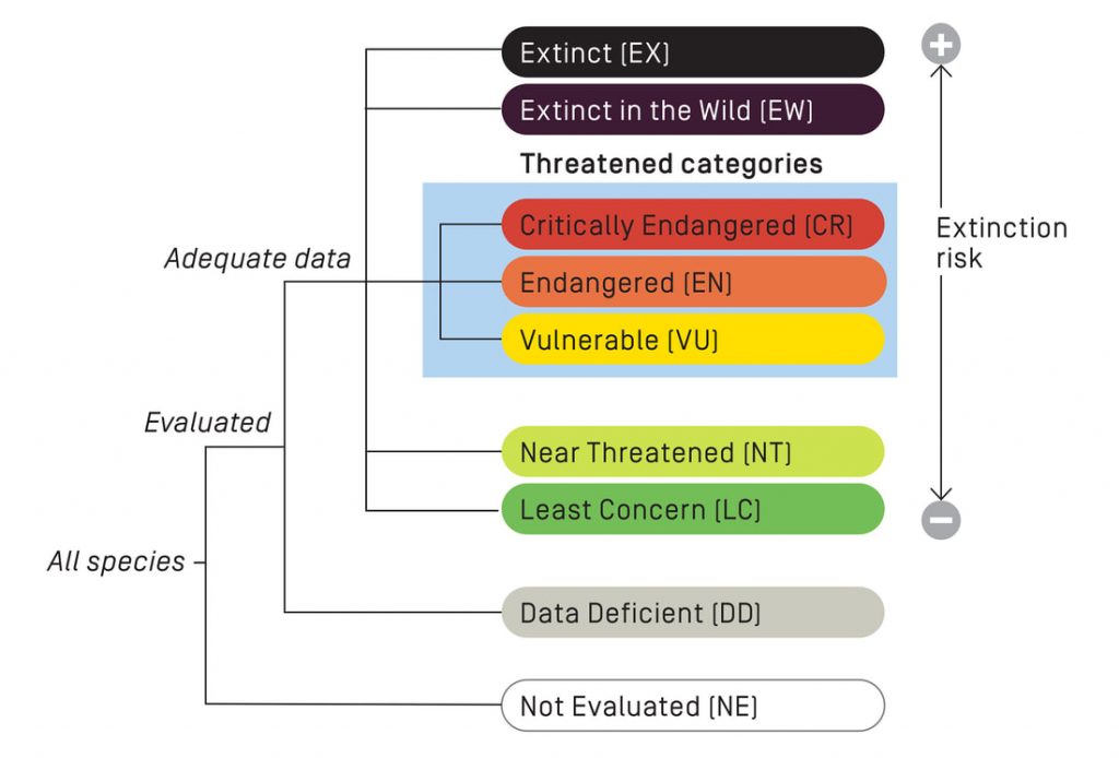
Have you ever wanted to explore a far flung location, see animals in their natural habitat? When you think of the African savanna you think of the African lion, Rhinos, Cheetahs, and the African Elephant. Or perhaps diving in the turquoise blue waters of the Caribbean among sea turtles coral reefs and reef sharks. It’s hard to imagine a world without those amazing creatures. But many of those animals are finding their numbers dwindling due to factors such as climate change, human encroachment into previously undeveloped areas, and poaching. Wildlife Conservationists around the world work to protect wild animals and their habitats. According to the International Union for Conservation of Nature’s Red List as of this year there are 41,415 species of plants and animals that are threatened with 16,306 of them classified as endangered and at risk for extinction. Conservationists, governments and private groups world wide work together in an attempt to preserve the amazing biodiversity of our world for future generations.
How does GIS fit in?
GIS technology is a powerful tool for wildlife conservation. According to Esri’s GIS for Wildlife Conservation, GIS tools help conservationists monitor and visualize factors such as population distributions, how habitat is used, track historical changes to a particular region and track how conservation efforts are impacting a habitat. Overall these tools allow conservationists to be better able to gather, analyze and manage data and thereby gain a better understanding of where efforts and resources are most needed. Drones using lidar can be used to fly into wilderness areas to study protected animals and gain valuable information on habitat and movements with minimal human interaction. Endangered and Protected species are often tagged with GPS tracking devices. Data gathered from those devices can be used to give conservationists a better understanding where and when the animals are migrating, where they are feeding and where they are coming into contact and or conflict with humans.
Let’s talk about Elephants. Because who doesn’t love Elephants?
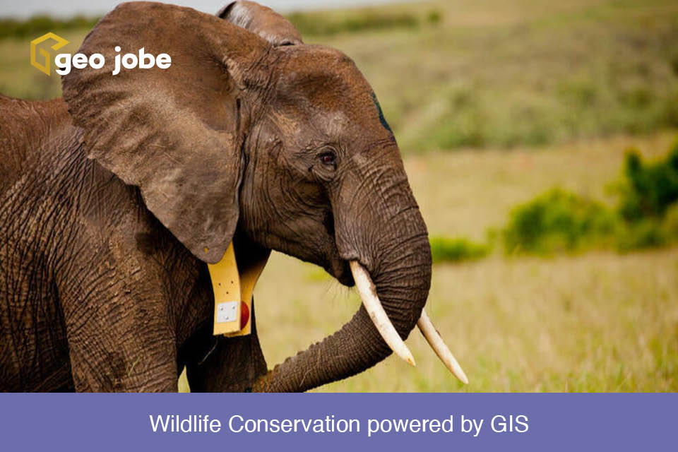
Parc National Garamba in the Democratic Republic of the Congo and Kenya’s Maasai Mara are putting GIS technology into the field everyday to help with their efforts to increase the elephant population. One tool used by both parks is the GPS collar. Both parks use the data from the GPS collars as part of their effort to protect their elephant populations. For example in Kenya human population growth has moved human settlements closer to protected areas and increased animal/human conflict the animals venture onto local farms looking for food. The collars allow park rangers to receive an alert when an elephant ventures too close to local farms and a park ranger in a helicopter can be dispatched to hurd the elephant way from the farms to safer feeding areas. Also, deviations in normal behavior can also be monitored to indicate when the elephants feel threatened. Years of study and observation have shown that elephants tend to move at a slow pace, females and the young elephants herd together and the adult male are more solitary. So when movement outside of this norm, such as fast movements and males congregating with the herd, is detected, park rangers can be dispatched immediately to investigate. Rangers at Garamba have used these behaviors as indicators of poaching activities. This has allowed Garamba to react quickly to threats to their elephants and as a result have nearly eliminated poaching in the park.
Tracking elephants in Kenya to prevent human-wildlife conflict | Stories | WWF
GIS is powering conservation efforts not just in Africa but around the world. If you are interested in learning more about GIS and Conservation check out these links for more information.


