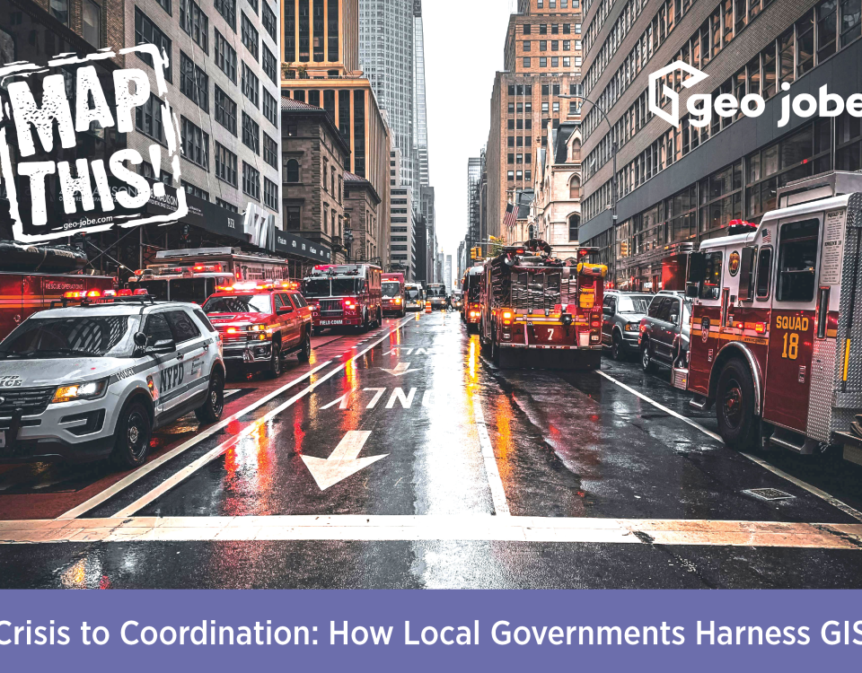
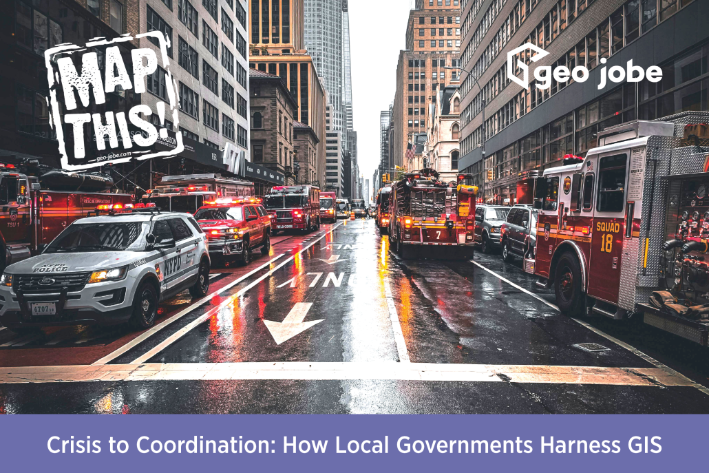
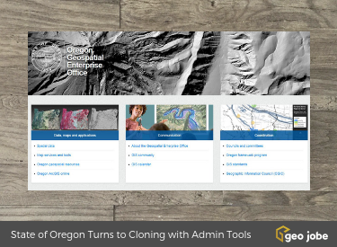
The state of Oregon works closely with the Oregon Department of Transportation to maintain a single comprehensive ArcGIS Online organization in order to serve their constituents.
Tag: government
Enabling Agencies & Orgs with Hub Open Data to Support Open Government
Customer Success Stories – Here at GEO Jobe, we don’t just build on the ArcGIS platform and create awesome tools, like Admin Tools and Mapfolio etc…, our team also works with many ArcGIS Enterprise-scale customers, government agencies, and other organizations to support their ArcGIS-based solutions. Read more how GEO Jobe can support Enabling your Open Data.
Event – Open Smart Cities Webinar
Founded in 2011, OpenNorth is Canada’s leading not-for-profit organization specialized in open data, open government, community engagement, open smart cities and civic technology.
Admin Tools Supporting ArcGIS Admins from Federal, State, County, Local Governments, & Environmental Orgs
Many users of our Admin Tools for ArcGIS Online are from Federal, State, County and local governments, environmental agencies, and professionals in emergency response. Admin Tools, recently updated to V 1.1, has a number of useful tools for these professionals.
Open Data, ArcGIS Hub and Tips for Creating an Open Data Site
Recall, last year (2017) Esri made the move and renamed ArcGIS Open Data to ArcGIS Hub (hub.arcgis.com) – the same capabilities from Esri but wrapped into a new product with even more functionality.
News – West Wilson Utility District Turns to GEO Jobe for UAV Data Capture & Orthophoto Updates
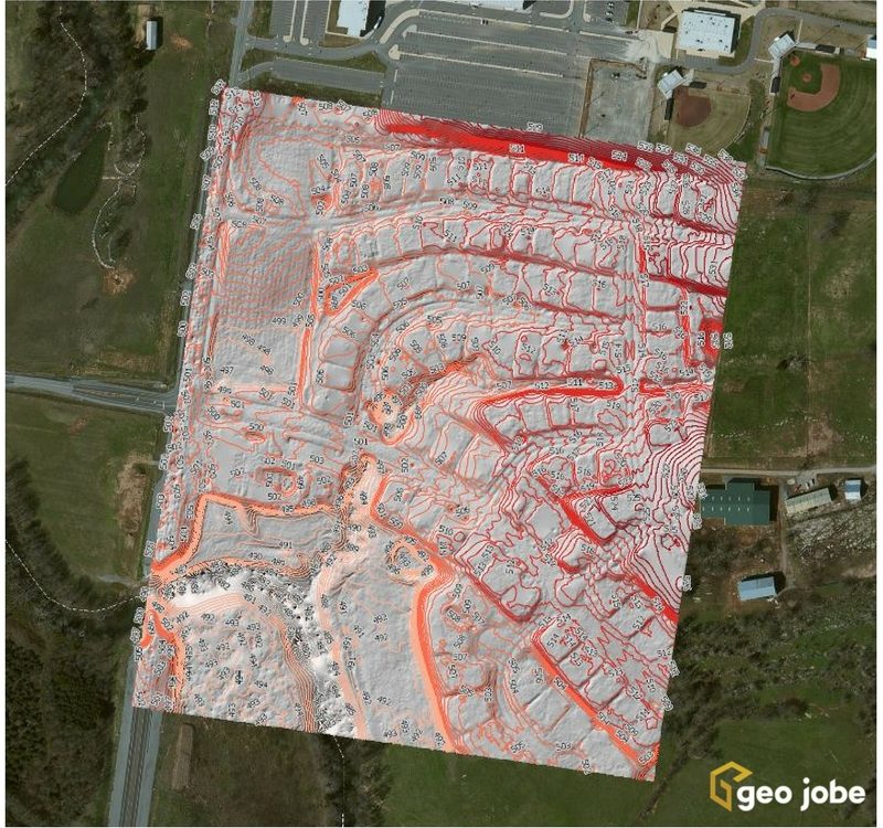
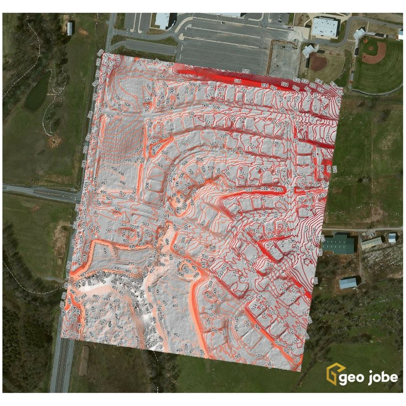
Local governments, utilities, and facility managers have a new resource at their disposal to help keep their GIS land base current and up to date while also saving money. Our latest news release shares details of a UAV orthophoto update project for West Wilson Utilities District, Wilson County. The project has resulted in significant cost […]
FAA Rolls out Online Map system (ArcGIS) – Provides UAV Pilots with UAS Facility Maps for Airports
The FAA on April 27 began publishing electronic maps for airports across the country that detail where and at what altitudes remote pilots may hope to achieve clearance (Part 107 authorization) to fly unmanned aircraft in certain types of controlled airspace. This information will be of interest to companies like ours that are providing cutting […]
ArcGIS Tips – Steps to Create an Open Data Site
Our services team has helped a number of government agencies / enterprise orgs get up and running with their own public facing Open Data portal, however, for those interested in taking on the task themselves and contributing data via Esri’s Open Data portal, Esri has made available the tools and resources to support you. The […]
The White House Wants you to Download and Analyze Traffic Fatality OpenData from the DOT
OpenData, these data are all over the Internet, particularly thanks to the proliferation of Open Data portals, spatial data warehouses, and now, ArcGIS Online making data accessible to all. Just this week, the White House has released details of the most recent analysis on national traffic fatalities and the initial findings are interesting, VERY interesting! […]