In the world of GIS, managing a complex ArcGIS environment can feel like conducting an orchestra – but sometimes, it feels more like a chaotic jumble […]
In observance of GEO Jobe’s 25 years in business, we reflect on the company’s past, present, and future. Our Executive Team talks about the company’s commitment […]
In honor of GEO Jobe’s 25 years in business, our Executive Team chats about the company’s past, present, and future. CEO David Hansen talks with Danny […]
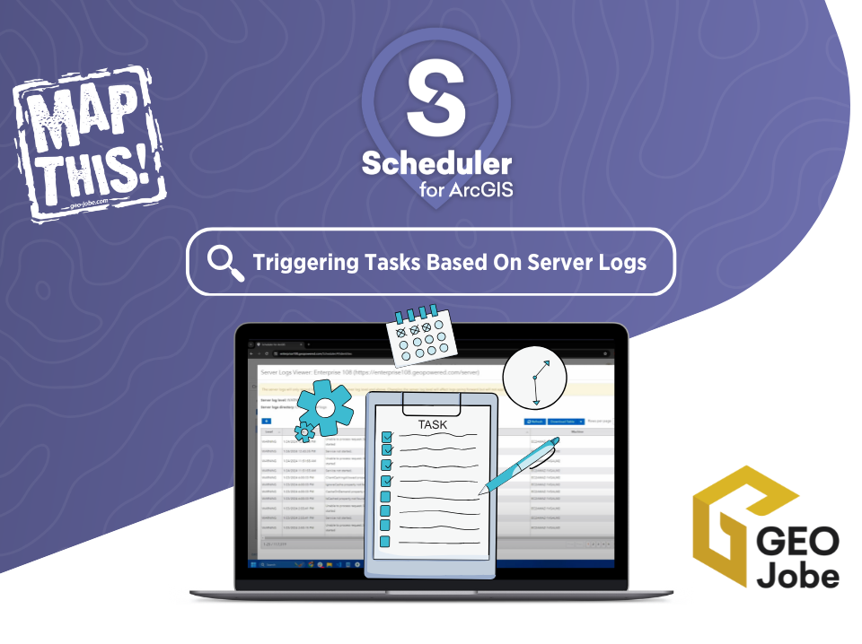
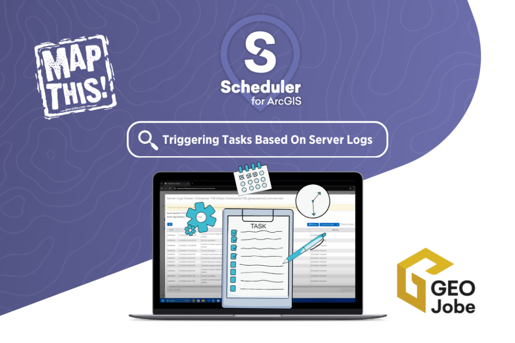
Are you looking for a way to get ahead of potential issues within your ArcGIS system? GEO Jobe’s Scheduler for ArcGIS offers a powerful combination with […]
Partnering with Esri’s Platinum Partner GEO Jobe to Apply Powerful GIS Technology to Avolve’s Solutions Enables State and Local Government to Transform Construction Plan Review Processes […]
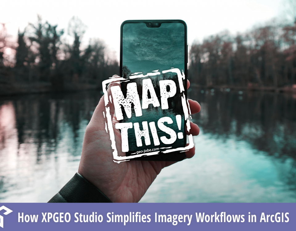
Didn’t make it to our recent webinar with AerialSphere? Don’t worry, you can now watch the on-demand session to see how XPGEO Studio is revolutionizing the […]
In a world where everyone from drone pilots to field technicians carries a camera in their pocket, imagery is more accessible—and more powerful—than ever. But for […]
Are you planning to soak up some sun and GIS insights next week at Esri’s newly named Developer & Technology Summit in California? On March 11th-14th, […]
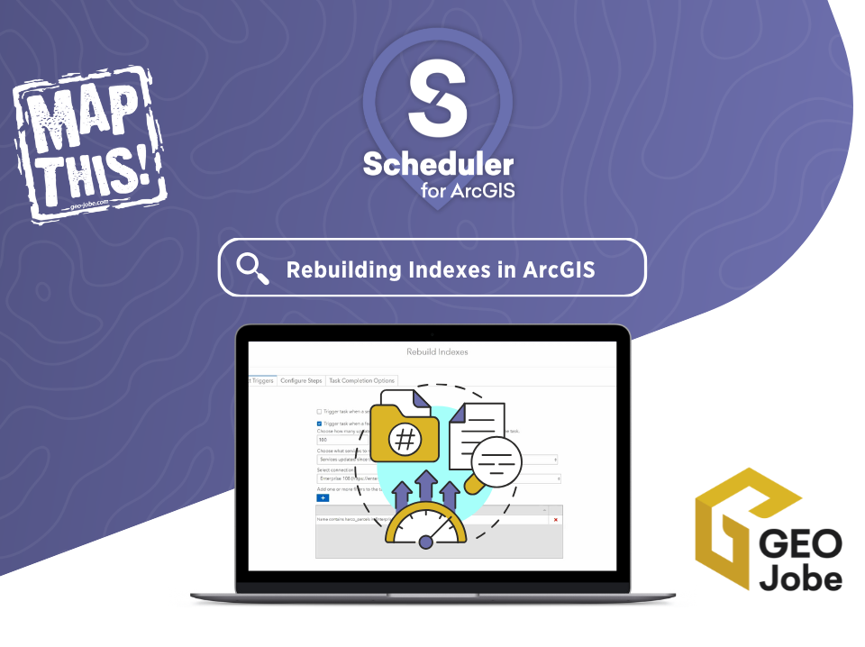
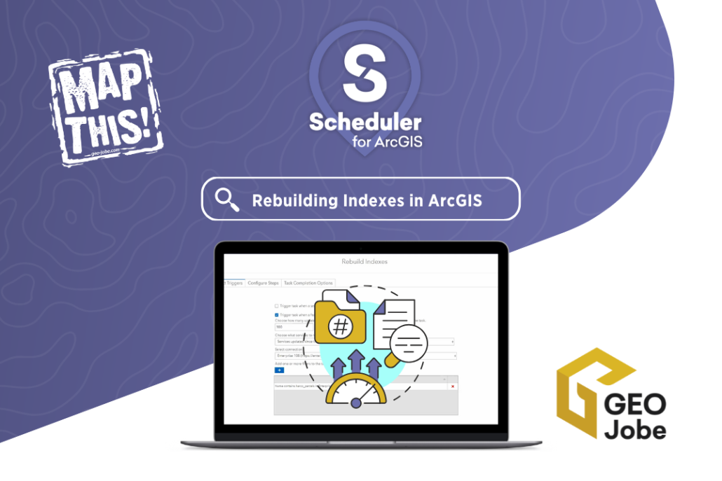
If you’re managing spatial data with either ArcGIS Online or ArcGIS Enterprise, you’re likely familiar with the importance of performance optimization. One often overlooked aspect of […]


