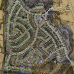
Subdivision Mapping
December 6, 2017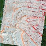
Orthophotography Update
December 6, 2017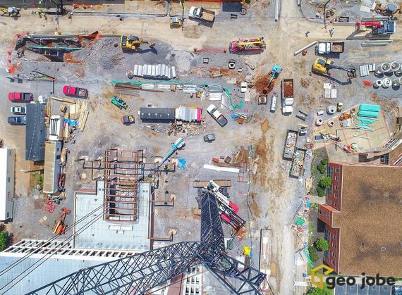
The construction industry, in particular, has been a large and growing sector for our UAV Services group. Many benefits are realized by these clients who are electing to employ UAV data capture technologies and methods. Most notably, UAV data capture is safe and secure, can be flown relatively quickly, and data products are accurate and detailed. In addition to the derivative data products, analysis and reports delivered the clients can also obtain updated ortho photography and digital basemaps for future mapping, digital contour map layers, DEM and 3D data products. Monitoring construction job sites keep projects on track, on budget and ensures safe practices!
