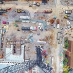
Construction Projects
December 6, 2017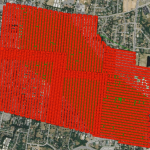
UAV Flight Mission Planning
December 6, 2017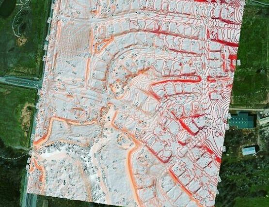
Orthophotography updates, ideal for local government, utilities and others needing GIS data updates. UAV orthophoto update project for West Wilson Utilities District, Wilson County. The project has resulted in significant cost savings for the district and now the region is the envy of surrounding agencies, being in the fortunate situation where instead of the Orthophotos being the most out of date GIS layer (as is very common), their Orthos are leading the change detection and data capture processes.
