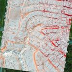
Orthophotography Update
December 6, 2017
Campus Planning
December 6, 2017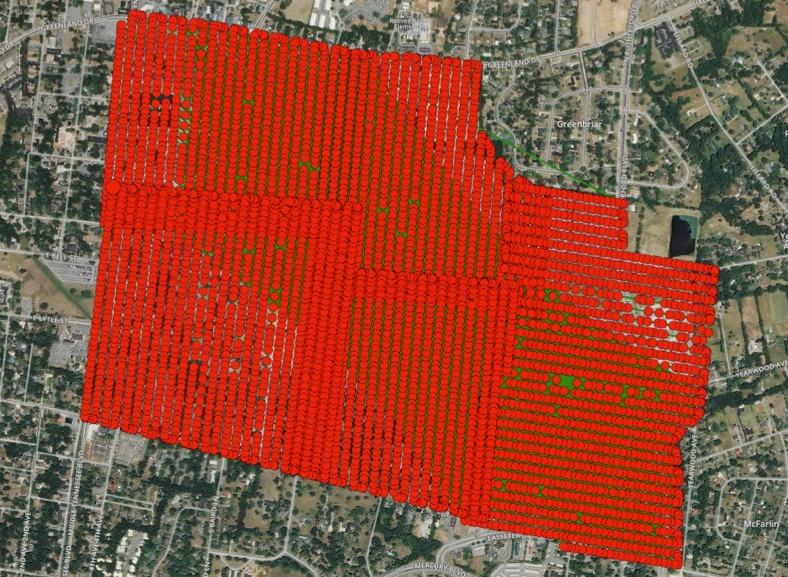
Professional Flight mission planning and data coverage reporting while our UAV/UAS (drone) based data capture crews get in, get out, start the analysis, and finally, deliver a high quality product, often at a cost to clients that blows their mind! Indeed, the combination of our experience and expertise in GIS, the ArcGIS ecosystem, custom application development, and GEOPowered Cloud technology provides us with a huge advantage over other UAV service providers – a message that we’re proud to share!
