
Organizations that rely on GIS technology need data they can trust—data that’s not only accurate, but continuously updating and scalable across enterprise environments. At GEO Jobe, we work with organizations that depend on reliable, high-performance ArcGIS systems to support critical decision-making.
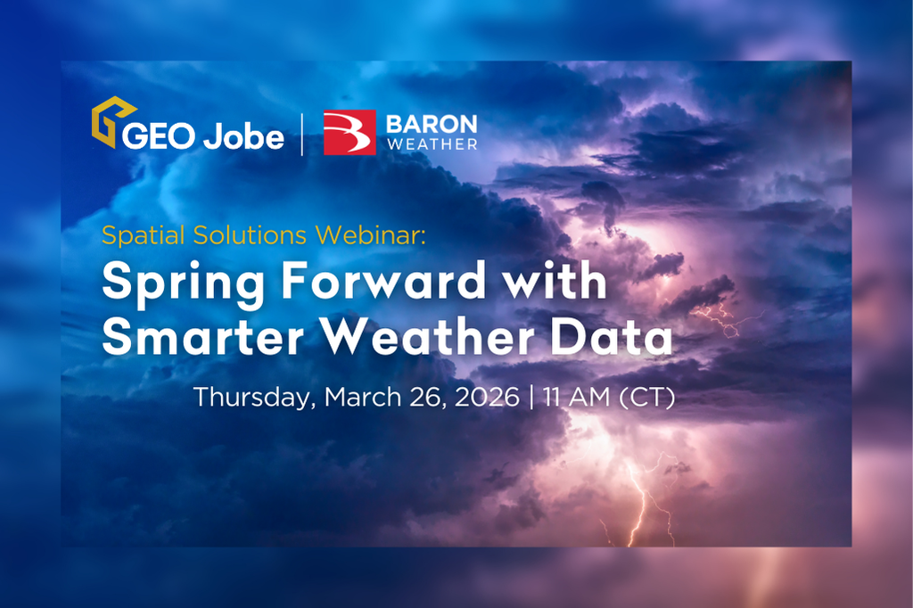
That’s why we’re excited to host Baron Weather for an upcoming webinar focused on integrating real-time weather intelligence directly into ArcGIS workflows.
Baron Weather delivers enterprise-grade weather data designed for operational use, not static reference layers. Their solutions provide ArcGIS users with immediate visibility into changing conditions—helping teams anticipate impacts, respond faster, and make smarter, more confident decisions.
With Baron Weather’s ArcGIS-ready data, organizations gain access to:
- High-resolution radar and advanced forecast models
- More than 200 real-time, forecast, and historical weather data layers
- Weather event–driven monitoring and automated alerting, especially when paired with ArcGIS Velocity
- Continuously updating weather intelligence that powers real-time dashboards and visualizes impacts across geospatial assets in a single operational view
During this webinar, GEO Jobe and Baron Weather will demonstrate how these weather data services seamlessly enhance ArcGIS dashboards, applications, and decision-support systems—all while maintaining the performance, reliability, and scalability required by enterprise GIS environments.
If your organization relies on ArcGIS to inform operational decisions, this session will show you how modern weather intelligence strengthens your entire GIS ecosystem.
Join us on March 26 to learn how real-time weather data helps your GIS stay ahead of the forecast.
Secure your spot below!
Explore these other Spatial Solutions webinars from GEO Jobe:
- WATCH: Managing Your Attachments & Mapping Your GIS Architecture
- WATCH: Orchestrating an Automated Symphony for Your ArcGIS Environment
- WATCH: How XPGEO Studio Simplifies Imagery Workflows in ArcGIS
- WATCH: Sharing Your ArcGIS Services Easier, Smarter, & More Securely
About Our Company
GEO Jobe is a leading GIS software and geospatial solutions provider, serving more than 12,000 organizations globally. The company is most known for developing some of the industry’s most popular applications, including Admin Tools for ArcGIS, Backup My Org, Clean My Org, Manage My Attachments, and Symphony for ArcGIS.
GEO Jobe offers U.S.-based 24/7 Support for organizations using Esri’s ArcGIS© System. GEO Jobe also offers professional services focused on Esri’s ArcGIS System, including custom software development, enterprise solution implementation, data science and UAV data collection.
Founded in 1999, GEO Jobe has been in operation for more than 25 years and an Esri business partner since 2002, and is currently a Platinum Partner.
