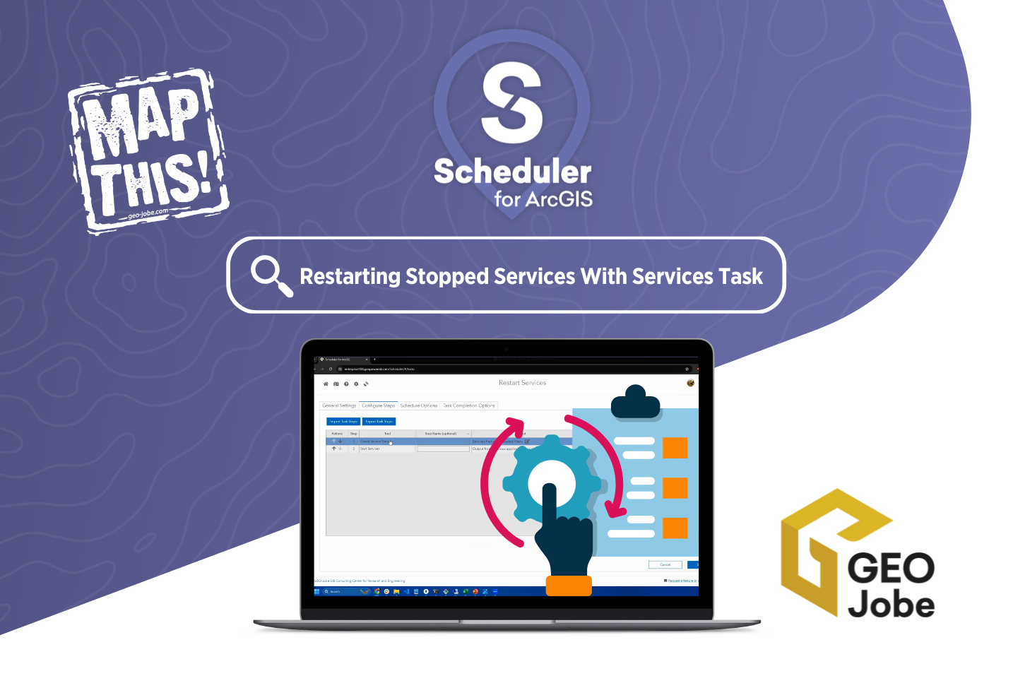
Managing an ArcGIS environment requires constant attention to ensure that services are running smoothly. But what happens when a critical service stops unexpectedly? Without proactive monitoring, these disruptions can go unnoticed, leading to downtime and lost productivity. Thankfully, GEO Jobe’s Scheduler app offers a solution with its powerful Services Task feature.
The Services Task allows you to automatically monitor and restart services that have stopped within your ArcGIS environment. By setting up Scheduler to perform routine checks, you can stay ahead of potential issues, ensuring that services are always up and running without the need for manual intervention. This means less time spent troubleshooting and more time focused on your GIS projects.
Whether you’re managing a large-scale deployment or a smaller system, Scheduler helps maintain operational continuity, allowing you to focus on more strategic tasks. With the Services Task, you no longer need to worry about interrupted workflows or missed alerts—Scheduler takes care of it all.
Here’s a brief look at how it works!
This simple, yet effective, automation feature can save you time, reduce the risk of service disruptions, and ensure the reliability of your GIS services. Start using Scheduler today and let it handle the monitoring so you can focus on getting the most out of your ArcGIS environment.
Want to know more about Scheduler for ArcGIS?
Click here to explore all the amazing features and capabilities of Scheduler, or email connect@geo-jobe.com for a free demo!
Check out these other articles from our MapThis! blog:
- Visualizing Your Workflow with Scheduler for ArcGIS
- Scheduler for ArcGIS: Scheduling Automatic Email Reports (VIDEO)
- Scheduler for ArcGIS: Automating Admin Tasks in ArcGIS (VIDEO)
- Scheduler for ArcGIS: Unlocking the Power of Webhooks to Prevent Sensitive Data Sharing
- GEO Jobe Previews Cutting-Edge ArcGIS Tool at Esri UC

About Our Company
GEO Jobe is a leading GIS software and geospatial solutions provider, serving over 10,000 organizations globally. GEO Jobe is best known for developing the most popular applications in the ArcGIS Marketplace, including Admin Tools for ArcGIS, Backup My Org, Clean My Org and Scheduler for ArcGIS.
GEO Jobe offers U.S.-based 24/7 Support solutions for organizations using Esri’s ArcGIS© System. GEO Jobe also offers professional services focused on Esri’s ArcGIS© System, including custom software development, enterprise solution implementation, data science and UAV data collection.
Founded in 1999, GEO Jobe is in its 25th year of operation, has been an Esri business partner since 2002 and is currently a Platinum Partner.


