

Extreme weather events seem to be in the news more and more often today. Everything from tornados, heat waves, hurricanes, and winter storms impacts people in nearly every location. As a lifelong resident of the Mississippi Gulf Coast who’s had to deal with more than a few hurricanes, I, for one, can say that I have always been interested in how we track extreme weather events and deal with the aftermath. GIS is a powerful component of meteorologists, researchers, and emergency responders’ tool kit by which to understand, track, and predict extreme weather events with remarkable precision.
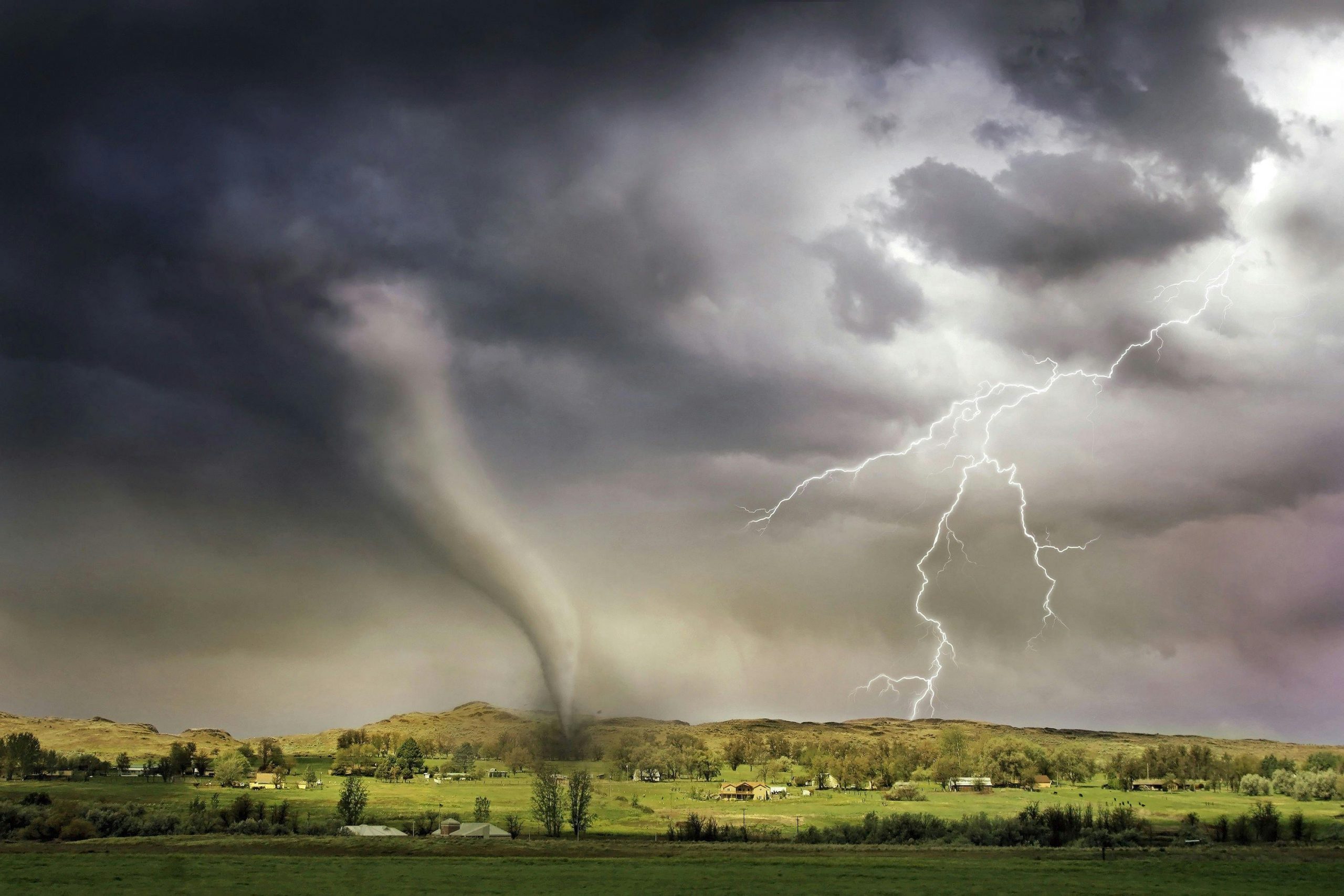
A wide variety of extreme weather events can be explored and studied through GIS tools. GIS can monitor weather conditions and predict potential tornado paths, facilitating timely warnings and alerting residents in the affected areas. According to the NOAA National Severe Storms Laboratory, an average of 1,200 tornadoes are reported to touch down in the United States each year with approximately 5% of those being classified as EF3 or above. The early warnings that GIS tracking provides are instrumental in keeping the public informed and giving those in the path the extra time they need to seek shelter from the destructive forces of a tornado.
Visualizing Unseen Weather Patterns with GIS
Some extreme weather is not so easy to see. Summer is on and so is the heat. When most of us think of extreme weather, we tend to think of tornados, hurricanes, and related weather events. But extreme heat is just as deadly as any extreme weather event. According to the Centers for Disease Control, more than 600 adult deaths each year are the result of heat-related illnesses. At the time I am writing this, heat advisories are becoming a daily occurrence. GIS tools are able to aid meteorologists in anticipating heat wave events. By combining past climate data, atmospheric conditions, and climate change projections, it becomes possible to gauge the probability, severity, and duration of heat waves. This allows organizations, such as the National Weather Service, to issue appropriate warnings. These warnings allow local municipalities to make decisions about opening cooling stations or shelters to provide for citizens that might not otherwise be able to beat the growing and persistent heat.
GIS Before and After a Hurricane
As a lifelong resident of the Mississippi Gulf Coast, hurricanes and hurricane season are a part of the fabric of our lives. The uncertainty of potential hurricanes is made easier as technology helps us expand our ability to predict the destructive path of these storms. GIS technology plays a crucial role in tracking hurricanes, enabling meteorologists and emergency responders to gather, analyze, and visualize vast amounts of spatial data. By integrating satellite imagery, weather radar, and real-time meteorological information with geographic data, GIS allows experts to monitor the trajectory, intensity, and size of hurricanes with unprecedented accuracy. The power of GIS to GIS-based models can predict the potential impact of hurricanes on specific areas, aiding in the issuance of timely warnings and evacuation orders to vulnerable populations. GIS platforms are instrumental in coordinating disaster response efforts by providing up-to-date maps that depict affected regions, as well as drone flights to assess damaged infrastructure and potential hazards. Through the use of GIS tools, authorities are able to gain a much more cohesive understanding of the intricate dynamics of hurricanes than they were able to in the past. This better understanding of the nature of storms and the influences of weather patterns has led meteorologists and other weather experts to make vast improvements in preparedness and response strategies. And these improvements have been key to the preservation of lives and reducing the impact caused by these devastating storm systems.
Whether we realize it or not, GIS and its uses in extreme weather predictions and tracking make an impact on almost all of our lives in one form or another. If you are interested in learning more about the role of GIS in weather events, check out some of these articles.
To connect with us directly, email us at connect@geo-jobe.com.
