logo logo
  • Contact Us
  • About Us
    • Social Media
    • Careers
  • Enterprise/GIS
  • UAV Services
  • Products
    • Admin Tools
    • Backup My Org
    • Clean My Org
    • Mapfolio
    • Web Maps for WordPress
    • security.manager NEXT
    • Knowledge Base
  • Custom Software Development
  • MapThis! Blog
    • Subscribe to Updates
    • Case Studies
  • MapThis! Shop

Tag: Airport

Getting Your GIS Off the Ground: GEOPowered Cloud for Airports

Posted by Timothy Michael, September 30, 2020September 30, 2020

The adoption of GIS technologies at airports has been rapidly increasing over the last few years as airports look to take advantage of the advancements made available with connected devices and Web GIS.  As GIS technologies have evolved, it is more important than ever to work with an established Esri Business Partner to effectively deploy […]

READ MORE

geo jobe FAA aproval

News – GEO Jobe UAV Secures Official FAA Authorization for UAV Mapping Flights on Airport Lands

Avatar photoPosted by GEO Jobe, May 18, 2017May 18, 2017

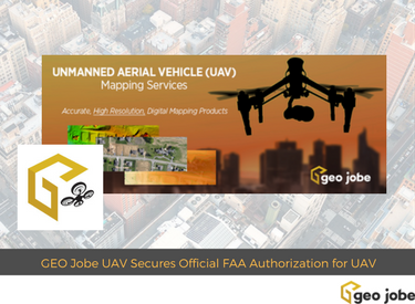
GEO Jobe UAV Mapping services is conducting UAV/UAS operations at levels few other geospatial technology companies are having success at achieving. GEO Jobe UAV Mapping Services has beaten the odds to receive the hard to come by FAA airspace authorization for UAV missions on designated Airport lands.

READ MORE

GEOvisualization Phase

GEOvisualization Techniques Using the Esri JavaScript API

Posted by Jesse Malley, July 1, 2015July 1, 2015

You’re probably thinking, “You built a what???”. Well, you are either asking that because you aren’t familiar with GEOvisualization  or you aren’t familiar with Esri’s JavaScript API. Here is a quick summary of both. Airports receive grants to insulate homes within certain noise contours surrounding an airport to minimize the noise impact of planes landing […]

READ MORE

  • Twitter
  • Facebook
  • Linkedin
  • Youtube
  • Instagram
  • Careers
  • MapThis!

© GEO Jobe (1999-2023). All rights Reserved.
Finely crafted by Proof Branding.

badge-marketplace badge-localgovernment AWS Partner badge-fedsmallbusiness badge-hubbadge-hub esriGoldPartner AWS Partner
UAV Information Request