Constant evolution in business means continuously improving, adapting, and adopting new spatial technologies. Over a five-year partnership that began in 2020, GEO Jobe collaborated with entrepreneur […]
Digital map accessibility is no longer just a “nice-to-have.” It is becoming a strict regulatory requirement. GEO Jobe and XR Navigation recently hosted a dual webinar […]
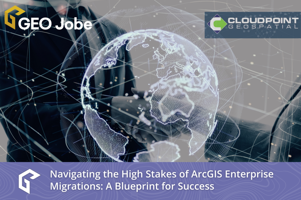
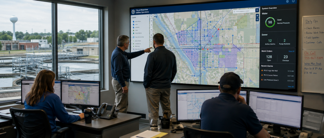
For any GIS department, managing an enterprise geospatial ecosystem is a balance of precision and data integrity. Whether your organization serves local government, utilities, or public […]
In the heart of the entertainment industry, facilitating on-location filming across Greater Los Angeles requires a delicate balance between community needs and a thriving local economy. […]
AI agents are extremely powerful systems. They can write code, automate workflows, analyze data, and interact with software environments. But how does that saying go again? […]
Model Context Protocol is reshaping how enterprise software connects to AI, and ArcGIS administration and content management is next in line If you manage an ArcGIS […]
The Advantages of Fully Supported Products Python Scripts Are Not the Same as Products In the GIS industry, there is a persistent assumption that if a […]
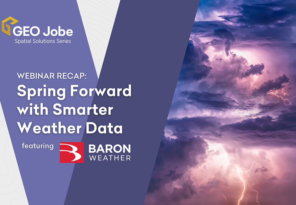
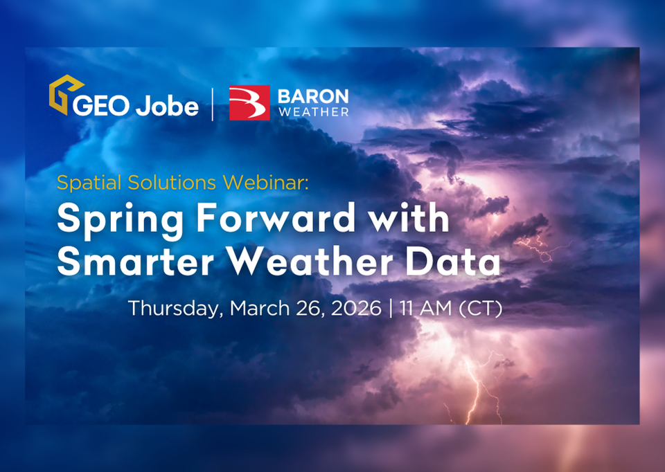
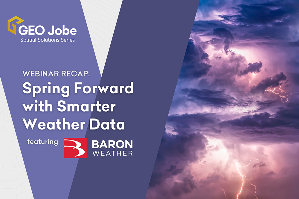
In our recent webinar, GEO Jobe and Baron Weather showed how real-time weather intelligence can strengthen ArcGIS workflows and improve operational decision-making. Attendees learned how live, continuously updating weather data—built for enterprise […]
Organizations that rely on GIS technology need data they can trust—data that’s not only accurate, but continuously updating and scalable across enterprise environments. At GEO Jobe, we […]


