October 26, 2022Published by Tiffany Brown on October 26, 2022Categories MapThisTake a Spooky Tour of Your Favorite HauntIt’s the Spookiest Time of the Year The heat and humidity of summer is finally beginning to give way to the cooler, crisper air of fall. […]
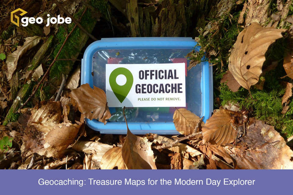
March 30, 2022Published by Tiffany Brown on March 30, 2022Categories MapThisGeocaching: Treasure Maps for the Modern Day ExplorerDo you want to find hidden treasure? When you were a child, did you ever pretend that you had a map to some long lost hidden […]
August 10, 2017Published by gletham on August 10, 2017Categories MapThis VideosGeoGeeksinCars Video Interview – GEO Jobe in Cars with Jeff Dahlke, Remote Geosystems Inc., ColoradoEnjoy this video interview from a visit to Fort Collins, Colorado where I met with Jeff Dahlke or Remote Geosystems, an Esri small business startup program […]