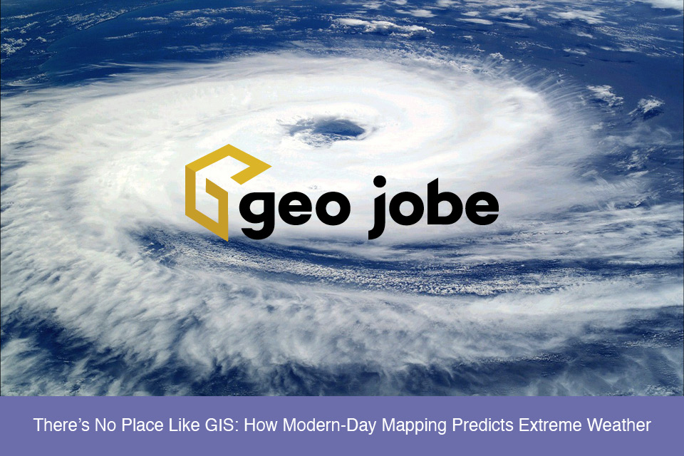
logo logo
  • Contact Us
  • About Us
    • Social Media
    • Careers
  • Enterprise/GIS
  • UAV Services
  • Products
    • Admin Tools
    • Backup My Org
    • Clean My Org
    • Mapfolio
    • Web Maps for WordPress
    • security.manager NEXT
    • Knowledge Base
  • Custom Software Development
  • MapThis! Blog
    • Subscribe to Updates
    • Case Studies
  • MapThis! Shop

Tag: NOAA

NOAA’s National Water Model

Visualizing the National Water Model in ArcGIS

Posted by gletham, August 25, 2016August 25, 2016

Something new today from Esri (and NOAA) is the ability for users of ArcGIS Online to visualize the national water model map service and flood forecasts for the continental US. This service enables forecasting and datviz of more than 2.7 million stream line segments that are updated hourly – see more on the process in […]

READ MORE

  • Twitter
  • Facebook
  • Linkedin
  • Youtube
  • Instagram
  • Careers
  • MapThis!

© GEO Jobe (1999-2023). All rights Reserved.
Finely crafted by Proof Branding.

badge-marketplace badge-localgovernment AWS Partner badge-fedsmallbusiness badge-hubbadge-hub esriGoldPartner AWS Partner
UAV Information Request