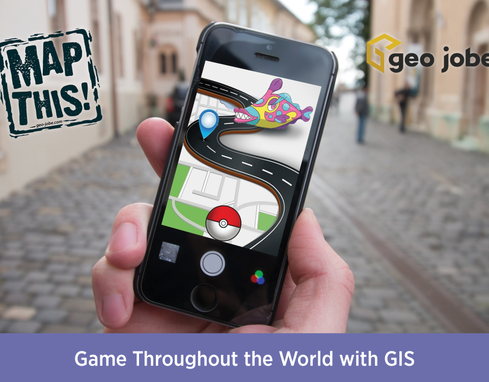
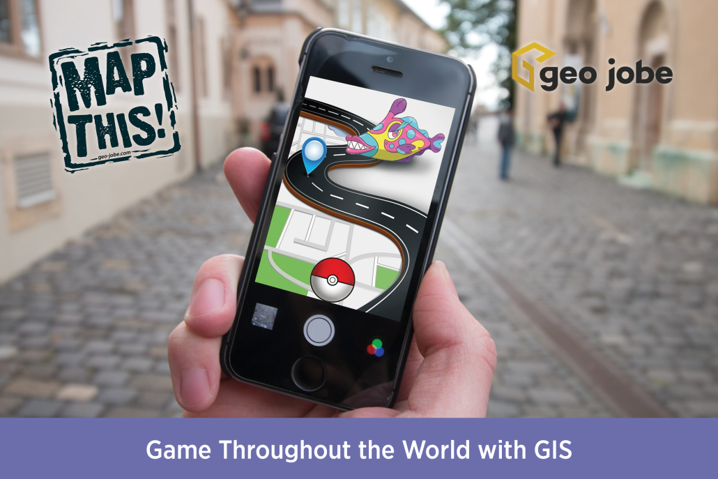
Photo by Element5 Digital from Pexels I am a huge lover of video games, and especially their maps and environments. Growing up on a wide variety of […]
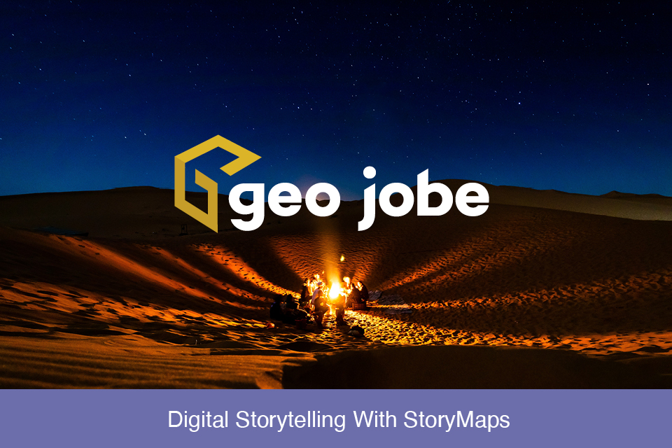
Stories are powerful; they can advocate for change, influence opinion, and create awareness. ArcGIS StoryMaps are web-based applications that allow you to tell your story by […]
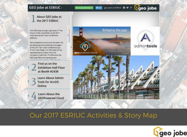
We’re ready to head to San Diego once again for the Annual International Esri User Conference (ESRIUC) and have shared details of where you can find […]
The 2018 Esri Partner Conference (EPC) takes place March 3-5, 2018 in Palm Springs, CA and DevSummit takes place the same week immediately following EPC. The […]
We’re ready to head to San Diego once again for the Annual International Esri User Conference (ESRIUC) and have shared details of where you can find […]


