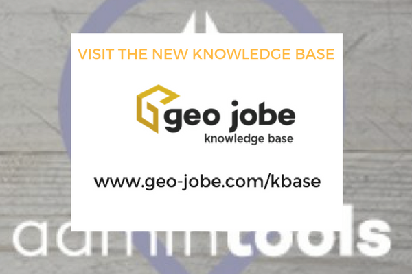
To support the users of our popular applications and for ArcGIS and ArcGIS Online enterprise users – the GEO Jobe Knowledge Base (Kbase). Developed by our […]
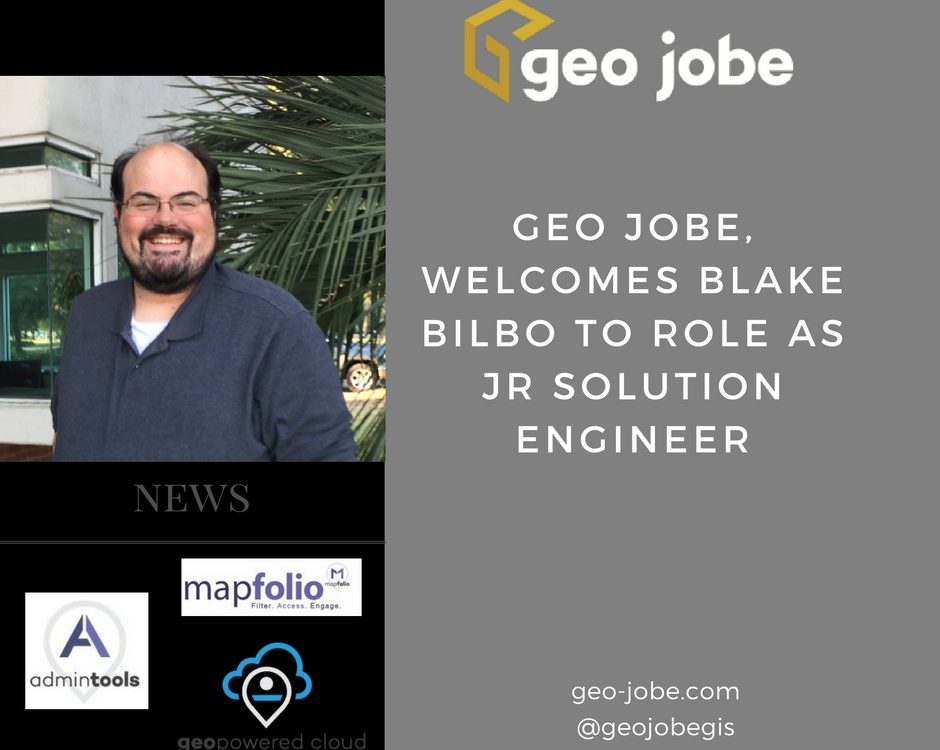
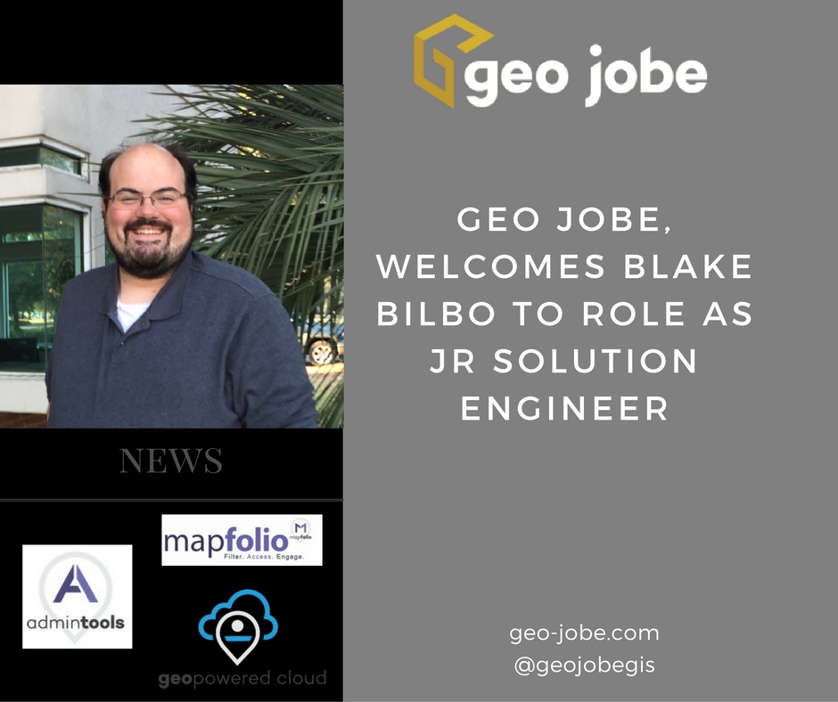
We’re pleased to announce the latest member to our team as Blake Bilbo joins us in the role as Solution engineer. Blake brings 10+ years experience […]
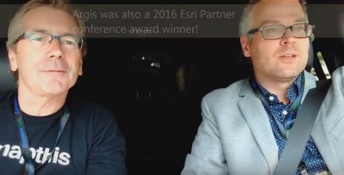
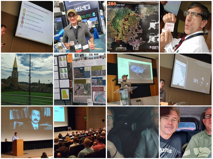
A visit to Denver, Colorado for the GIS in the Rockies conference #GISITR at the University of Denver. Enjoy this #GeoGeekinCars Geotech interview at GIS in […]
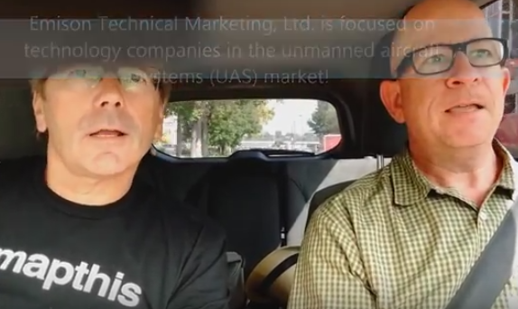
A visit to Denver, Colorado for the GIS in the Rockies conference #GISITR at the University of Denver. Enjoy this drive around the campus area with […]
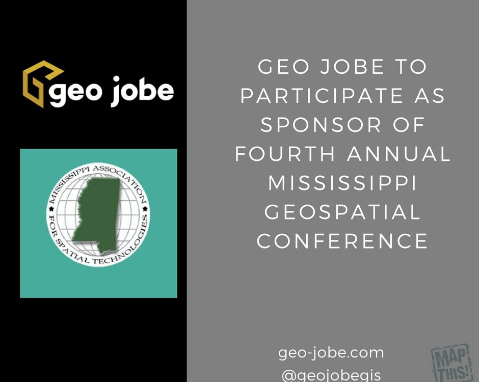
GEO Jobe pleased to be involved with the annual Mississippi Association for Spatial Technologies (MAST) Geospatial Conference, taking place October 20-21, 2016 at the Gulf Park […]
GIS in the Rockies is always an enjoyable, informative, and educational event for GIS, mapping, and technology professionals. The event attracts attendees mostly from in and […]
This week we’re pleased to be involved with the annual American planning Association Mississippi & Alabama Annual conference. Representing GEO Jobe at this important conference is […]
Hello and welcome to my first official duty with GEO Jobe as the newly appointed Geo Evangelist & Chief Marketing Officer (CMO), my introduction blog post. […]
Sr. Front-end Engineer GEO Jobe is the industry leader in ArcGIS Online development. GEO Jobe is currently growing its development team and has a spot open […]
Welcome to GEO Jobe UAV and Aerial Mapping Service, based in Nashville, Tennessee Thank you for checking out GEO Jobe’s UAV and aerial mapping services. We’re […]


