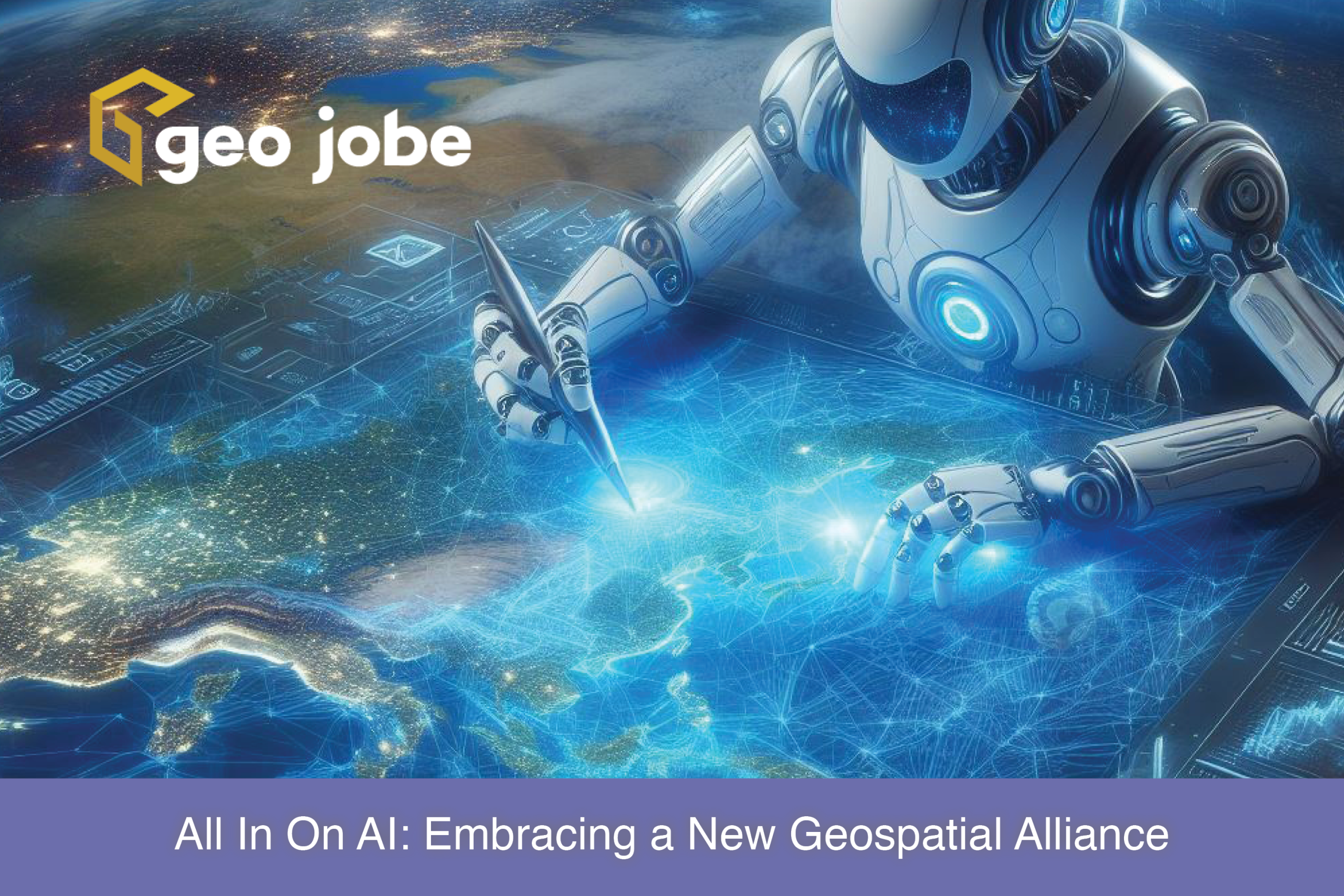
Image generated by DALL-E using Microsoft’s Copilot
Our world is undergoing a technological transformation as search engines on the World Wide Web have replaced our necessity for checking out encyclopedias from the local library. In fact, location has very little bearing on our accessibility to the vast expanse of digital information on the Internet today. We have the digital world at our fingertips; in our pockets.
However, our old reliable search engines that we’ve all been accustomed to in the 21st century may have a new successor. A new, powerful tool that goes by the name of Artificial Intelligence (AI) has risen to the stage.
A Modern Evolution
AI as a concept has been developing since the 1940s. However, the current definition of AI recently surfaced in this decade. OpenAI’s release of ChatGPT in 2022 made a strong impression on the current strength of AI, as well as its future potential.
Chatbots, such as ChatGPT and Microsoft’s Copilot, have taken the driver’s seat for most of AI’s publicity, with just about everyone finding use for it in their personal lives. However, its abilities have been applied to a plethora of other use cases.
Machine Learning (ML), a variety of mathematical algorithms used to teach and develop AI, is the driving force behind AI as we know it today. Large sets of data are fed to an AI product in order for it to recognize things like anomalies and outliers, make predictions, interpret human language and more.
Image processing with AI has also had a promising debut, boasting features such as being able to decipher the contents of an image, upscale existing images to higher resolutions and clarity, as well as even generating brand new images. As expected, ML has found its way into nearly every industry, including Geographic Information Systems (GIS).
The Impacts of AI in GIS
The field of GIS has seen significant enhancements thanks to AI’s intervention. GeoAI, a combination of GIS services and AI/ML, is a whole subset of tools that has been spawned in its wake. Traditional satellite imagery has made leaps and bounds in terms of clarity due to an AI technology known as Super-Resolution via Repeated Refinement (SR3).
SR3 uses complex noising and denoising algorithms to generate a noiseless, higher resolution image of existing satellite imagery. SR3 tools are available for developer use in the “arcgis.learn” model of the ArcGIS Python API.
Changing the Game in Vision-Driven Media
Not only does AI have the ability to upscale images and videos, but also to read and comprehend them in a near-instant. Traffic cameras in bustling cities can differentiate cars from buses, spot faces within a dense crowd, or even catch potential crimes in the act. The data accumulated from both these cameras, as well as sensors in smart cars and phones, have revolutionized modern traffic analytics.
AI is able to do lots of the heavy lifting when it comes to determining times of high traffic, labeling dangerous intersections, and predicting the best routes for travel or delivery services. These image-processing tools and data collection will also prove incredibly valuable working in tandem with the up-and-coming AI-powered self-driving vehicles.

Image generated by DALL-E using Microsoft’s Copilot
Without proper infrastructure, there would be no need for traffic. Urban planners and civil engineers work tirelessly to maintain and uphold our ever-expanding society. Tools have been developed in coordination with AI to visualize detailed structures, from the blueprints to the final model. Architects now have a helping hand on the drafting table; AI-powered tools, such as UrbanistAI, can be used as a reference to visualize new buildings and attractions in new areas or to modify pre-existing landmarks.
Harnessing the Power of AI to Change the World
With all of this in mind, safety and the ability to persevere daily through our autonomous society are of utmost importance. Weather events and climate change are some of the most important aspects of disaster prevention. Forecast predictions with AI have become just as accurate as traditionally practiced methods of meteorology.
Web applications, such as GraphCast, have gained considerable praise for how quickly and faultlessly its AI is able to predict a 10-day forecast. Companies like ExxonMobil have adapted AI for monitoring climate change and planning a greener world by quantifying carbon storage at the individual tree level and replanting in areas that may be lacking. A proactive approach to our environment is the best way to ensure our planet’s longevity.
Despite some of the current controversies surrounding AI in our rapidly growing world, it is clear that AI and GIS complement each other nicely. Artificial Intelligence has emerged as a welcome new technology that has already begun to pioneer our future head-first.
About GEO Jobe
GEO Jobe is a leading GIS software and geospatial solutions provider, serving over 10,000 organizations globally. GEO Jobe is best known for developing the most popular applications in the ArcGIS Marketplace, including Admin Tools for ArcGIS, Backup My Org, Clean My Org and Scheduler for ArcGIS.
GEO Jobe offers U.S.-based 24/7 Support solutions for organizations using Esri’s ArcGIS© System. GEO Jobe also offers professional services focused on Esri’s ArcGIS© System, including custom software development, enterprise solution implementation, data science and UAV data collection.
Founded in 1999, GEO Jobe is in its 25th year of operation, has been an Esri business partner since 2002 and is currently a Platinum Partner. To learn more about the company’s variety of GIS products and services and how we could support your organization, email GEO Jobe at connect@geo-jobe.com.


