

Image Source: Erik Mclean | Pexels
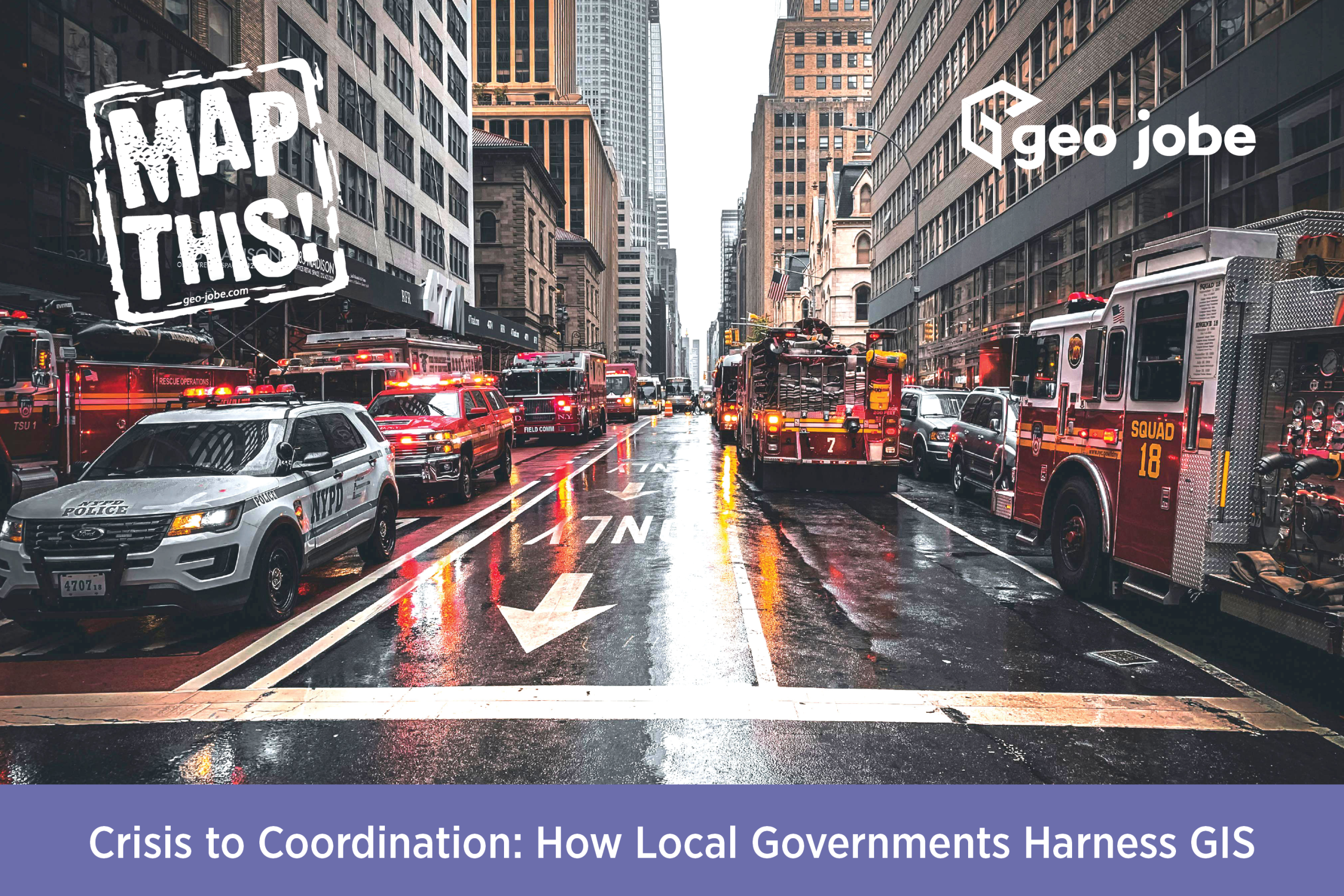
Have you ever wondered how local governments can streamline so many different events or emergency responses? It’s because they utilize GIS technology.
GIS, or Geographic Information System, is used in local government in many different ways. It can help first responders locate properties, find the fastest route to an emergency, help direct traffic around an incident and more.
GIS also helps other departments, such as Public Works, with the oversight and planning of streets, water, sewer, sanitation, etc. Through GIS, these departments can map out where water and sewer lines run and where maintenance needs to be done on streets. GIS can be used to help determine the best routes for parades and street fairs and how to handle crises around these types of events. In fact, police, fire, and EMS rely on GIS to do their jobs effectively.
A great example of this is when there is a commercial or residential fire. The fire department uses GIS to determine where the trucks responding to the scene need to enter the area. They usually want to have trucks covering as much of the building or residence as possible to give the best coverage in order to get the fire under control.
The power company will also have to cut power in these instances. Their responding technicians will need GIS to determine where the closest substation is, where to cut the power off and what area this outage will ultimately affect. This also comes into play with power lines that are knocked down during storms and power poles being struck by vehicles due to a motor vehicle accident.
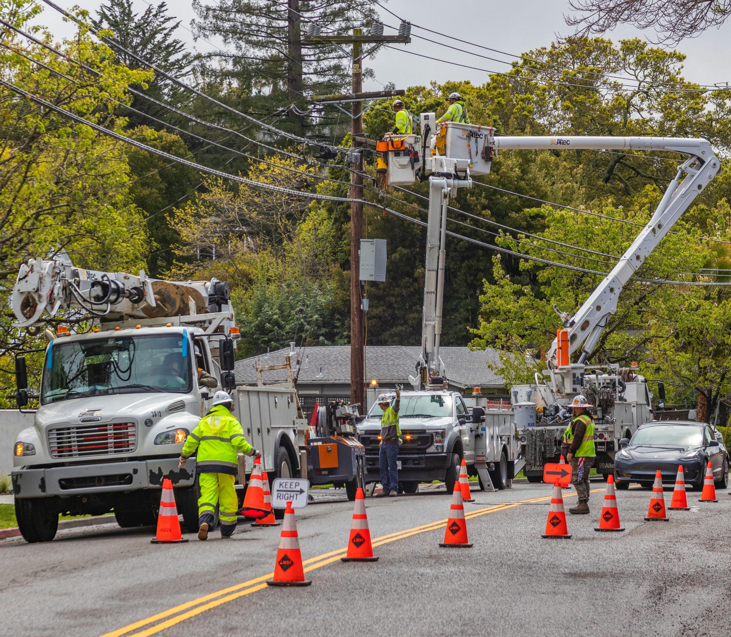
Image Source: Robert So | Pexels
Water departments use GIS to determine where outages will be when they are working on water mains. It is also used to determine the location of fire hydrants and keep an updated map of these locations for emergency services.
Waste disposal is also another area in which GIS is used. These services can use GIS to determine what the best and most efficient routes are for their drivers.
Additionally, GIS is used in zoning for commercial and residential areas and in determining landing zones for life-flight helicopters as well.
GIS is also used in PSA (Property Search Application) maps for the local Tax Assessors office. This system shows property lines, owner information and lot sizes. This ties into first responders as well.
For example, if someone calls 911 from their cell phone, it can be used to triangulate their location and get a GPS location from this data. The dispatcher can then use this GPS location and input it into a mapping system to retrieve the closest physical address of where the person is.
This information is useful when handling medical alarm calls where the only information is the GPS location of the device. Using the GPS location allows the dispatcher to be able to find the closest address, look up possible homeowners and contact information for them, and also allows them to use other mapping systems to get a street view of the area and a description of the area for the police, fire or EMS units responding.
GIS is used in mapping out the jurisdiction of all these different departments so that when a call comes in, or maintenance needs to be completed, the correct department is sent to take care of the situation.
Final Thoughts
To conclude, GIS is being implemented in the background of so many people’s lives, oftentimes without their knowledge. Whether you are in any of the fields that have been mentioned or just someone, like myself, who is fascinated with how GIS is being utilized, thank you for taking the time to read this.

About Our Company
GEO Jobe is a leading GIS software and geospatial solutions provider, serving over 10,000 organizations globally. GEO Jobe is best known for developing the most popular applications in the ArcGIS Marketplace, including Admin Tools for ArcGIS, Backup My Org, Clean My Org and Scheduler for ArcGIS.
GEO Jobe offers U.S.-based 24/7 Support solutions for organizations using Esri’s ArcGIS© System. GEO Jobe also offers professional services focused on Esri’s ArcGIS© System, including custom software development, enterprise solution implementation, data science and UAV data collection.
Founded in 1999, GEO Jobe is in its 25th year of operation, has been an Esri business partner since 2002 and is currently a Platinum Partner.
To learn about our variety of GIS products and services and how we could benefit your organization, email GEO Jobe at connect@geo-jobe.com.
