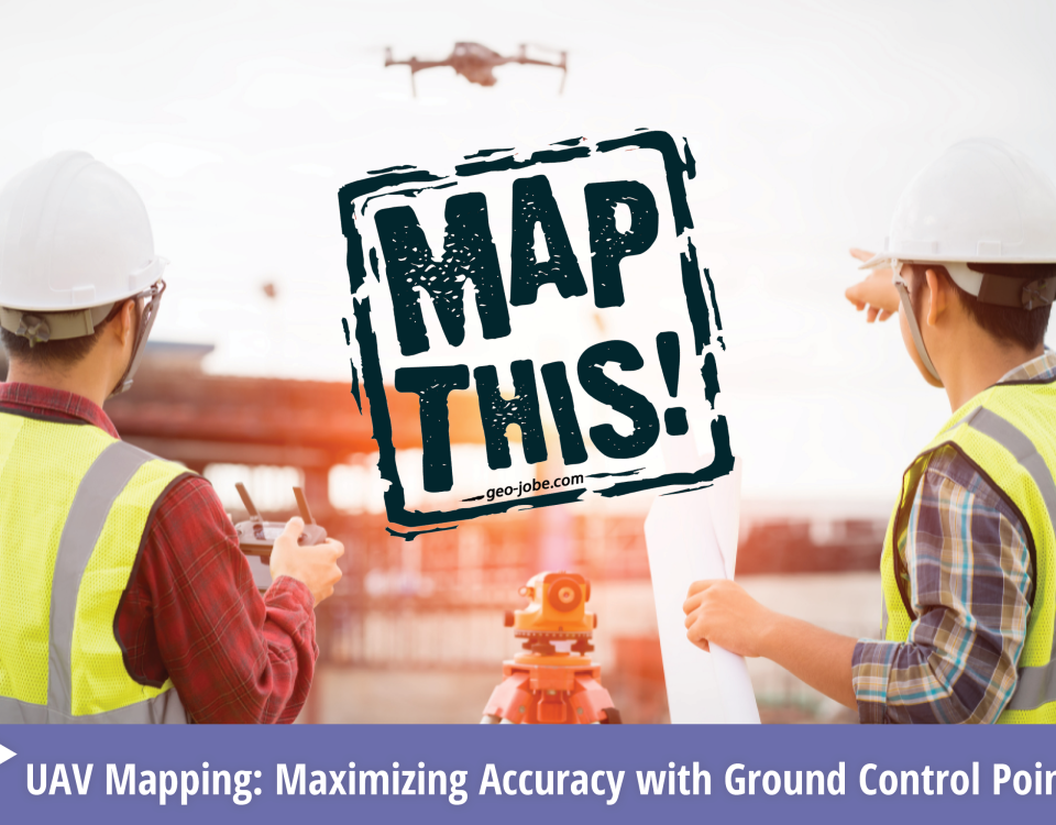
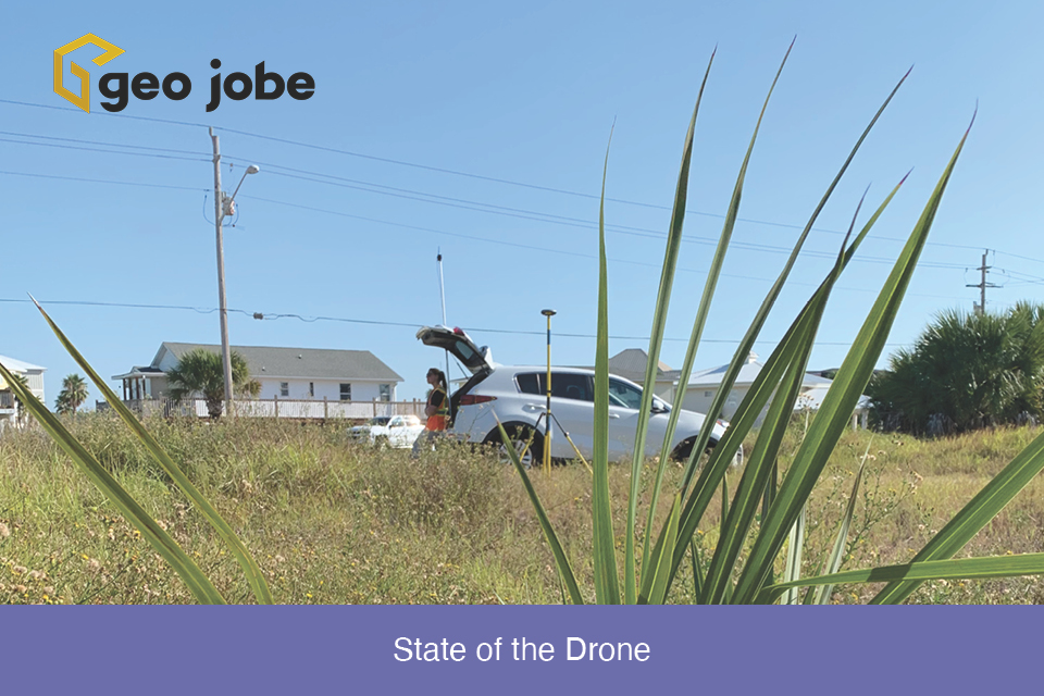
In the world of geospatial mapping, precision is everything. Enter Ground Control Points (GCPs)—the unsung heroes that ensure our digital maps and images align perfectly with […]
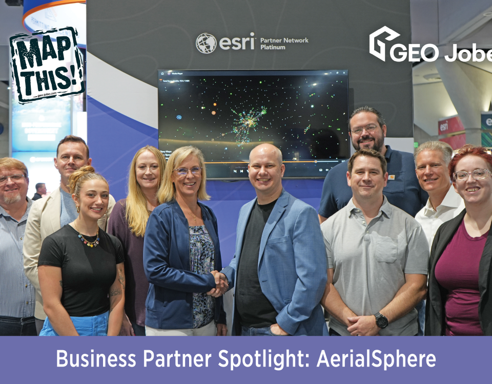
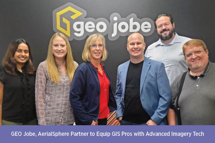
Pictured back row, from left: Danny Menikheim, GEO Jobe’s Chief Operating Officer; Nicholas Markwardt, Chief Experience Officer for AerialSphere; Joslyn Brough, Product Manager for AerialSphere; Eric […]
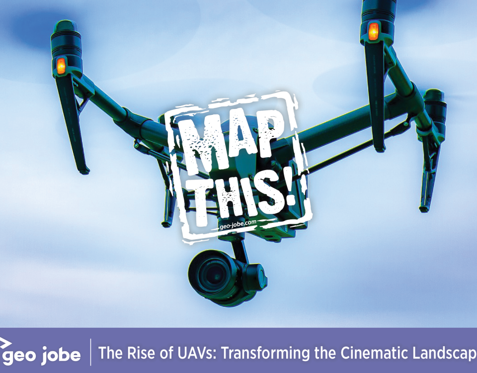
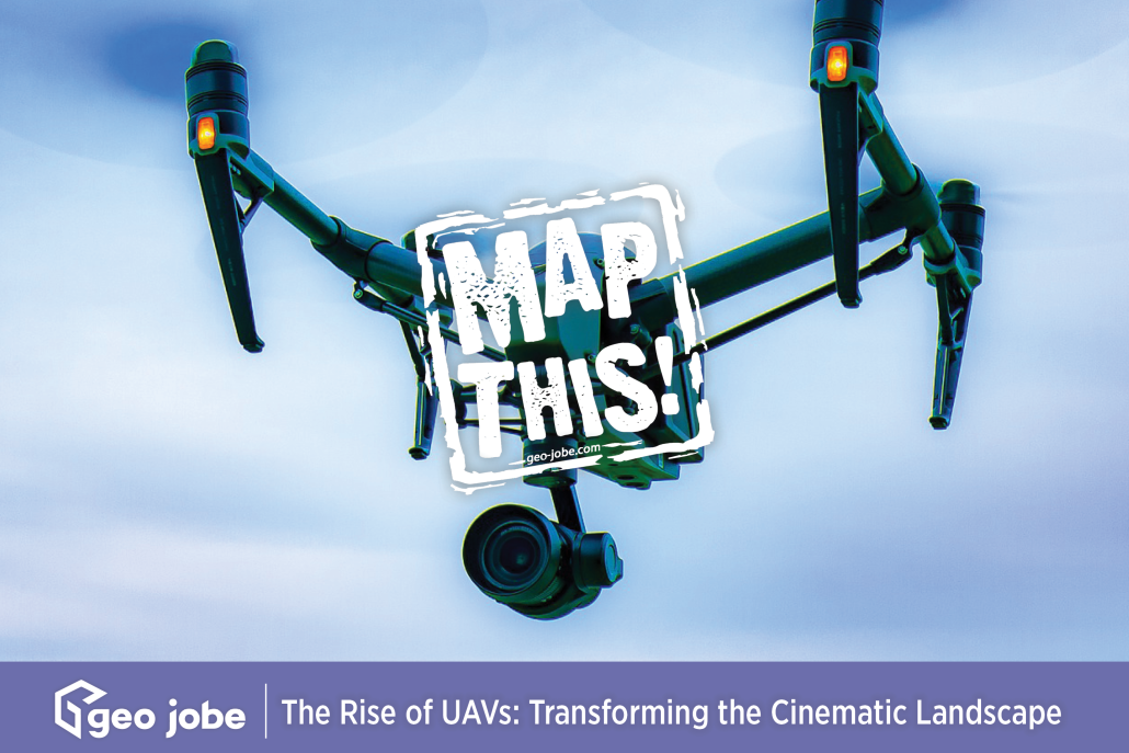
Image by Richard Bolan from Pixabay In recent years, Unmanned Aerial Vehicles (UAVs), commonly known as drones, have revolutionized the world of filmmaking. UAVs capture breathtaking […]
Representatives from AerialSphere at a recent visit to GEO Jobe’s Gulfport, MS office. (Left to right: AerialSphere team members Trupti Khatavkar, Joslyn Brough, Suzi Shoemaker and members of the GEO […]
What Are GIS Services? GIS services can be a wide range of services such as UAV digital mapping, solution engineering, or spatial data collection/development. Services such […]
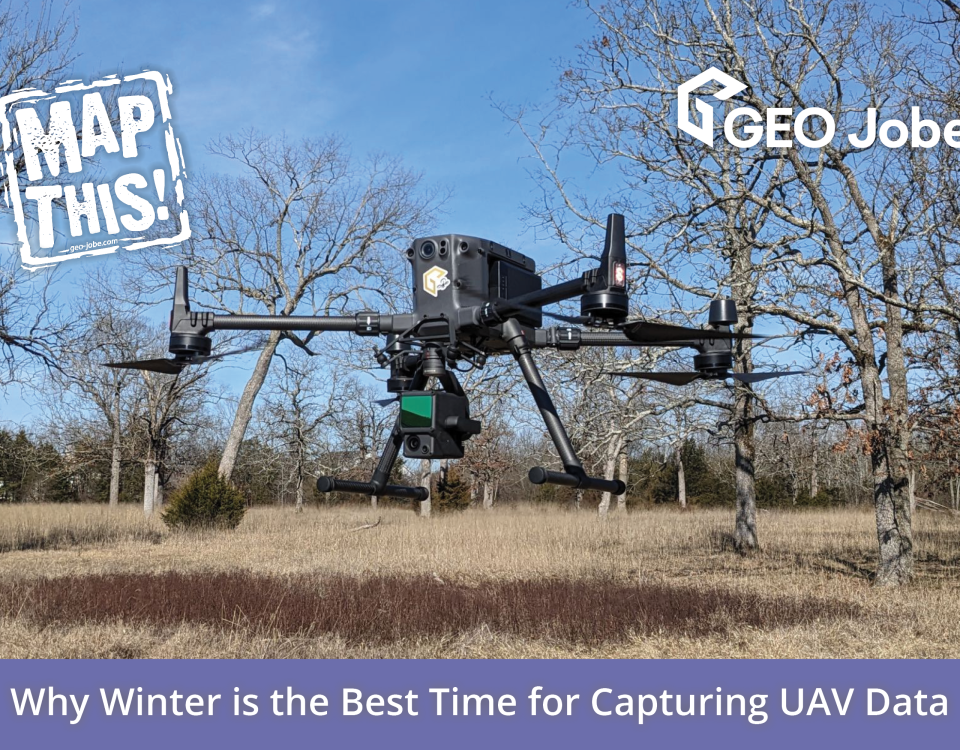
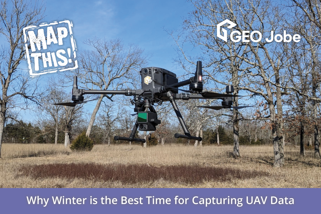
Winding down the year is a good time to reflect on the changes, applications, and direction of the small Unmanned Aerial Systems in the mapping industry. […]


