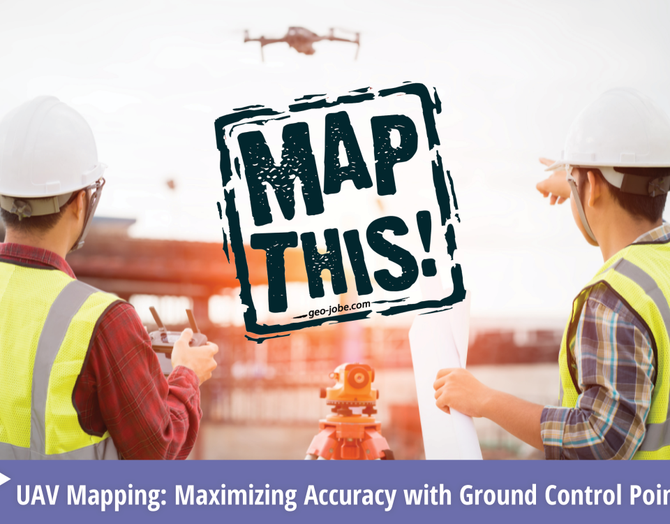
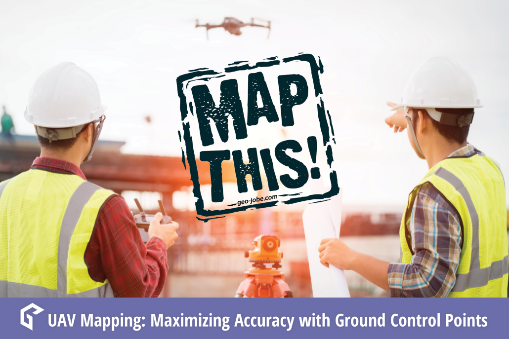
GEO Jobe Vanderbilt University Case Study

Vanderbilt University: Landscape Planning with UAV Tech

Tree Canopy Classification – Vanderbilt University Campus Nashville Quantifying tree canopy cover across expansive areas has historically been a time-consuming endeavor, often reliant on labor-intensive field surveys or manually analyzing traditional aerial imagery. Such methods are not only cumbersome but also prone to error. Through the innovative application of Unmanned Aerial Vehicle (UAV) technology, significant […]

READ MORE

UAV Vertical Asset Inspection: Techniques and Benefits

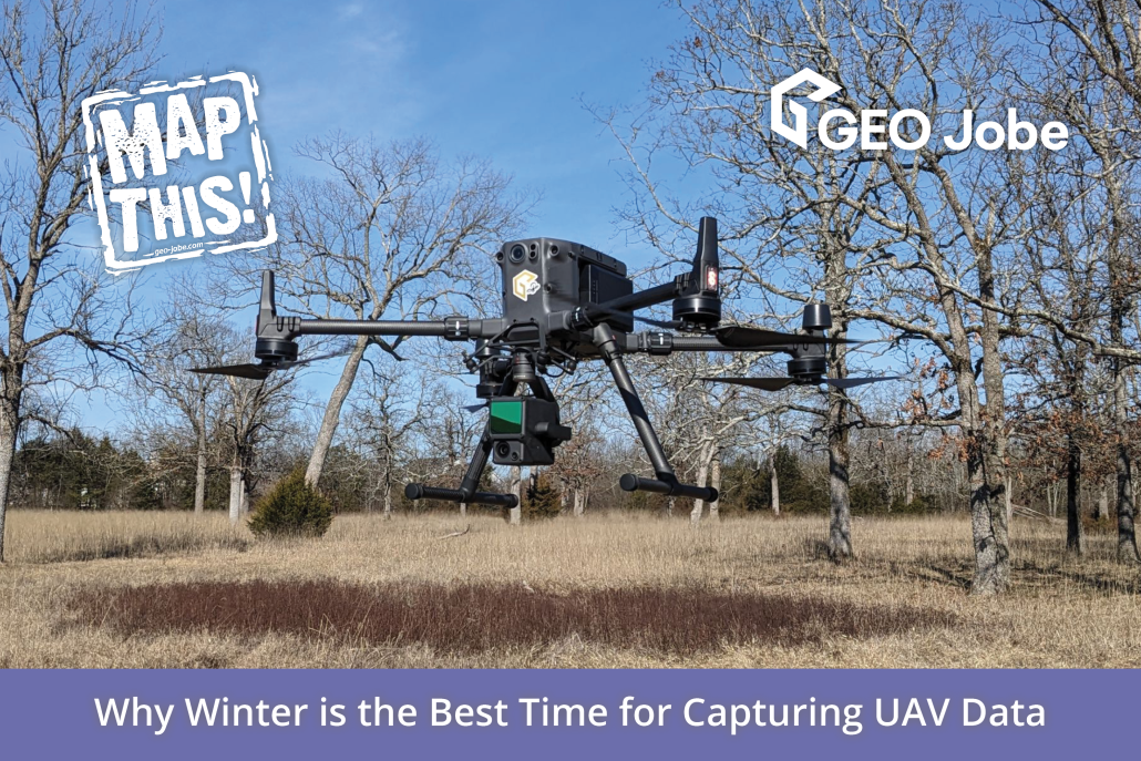
Vertical assets such as communications, tall buildings, or water towers are difficult and dangerous to inspect. For this reason, UAV technology is quickly becoming the preferred method of vertical asset inspection.  Three primary reasons UAV inspections are becoming prominent are safety, time savings, and superior documentation; these are just some of the immediate benefits we […]

READ MORE

Multi-Rotor vs. Fixed Wing UAV Platforms: Considerations for Evaluating Capabilities and Limitations

Using the correct equipment is critical to the success of any project. UAV projects are no different, knowing how to select the best tool for each specific application is fundamental to efficient data collection. We use both multi-rotor and fixed wing UAV equipment, depending on project goals and constraints. Below are some considerations for selecting […]

READ MORE

Change Your Point of View With Photogrammetry

Photogrammetry is the art, science, and technology of obtaining reliable information about physical objects and the environment through processes of recording, measuring, and interpreting photographic images and patterns of recorded radiant electromagnetic energy and other phenomena (Wolf and Dewitt, 2000; McGlone, 2004). How does Photogrammetry work? Triangulation is the basis on which all photogrammetry is […]

READ MORE

Why “Drone” Is a Dirty Word: The Difference Between Drones and Professional UAV Equipment

Common terms and abbreviations: UAV = Unmanned Aerial Vehicle sUAS = small Unmanned Aircraft System (less than 55lbs) RTK = Real Time Kinematic, high accuracy gnss positioning using local controls for correction and validation. GNSS = Global Navigation Satellite System(GPS-United States, BeiDou-China, Galileo-Europe, GLONASS-Russia) Photogrammetry = science and technology of making measurements using photographs. This […]

READ MORE