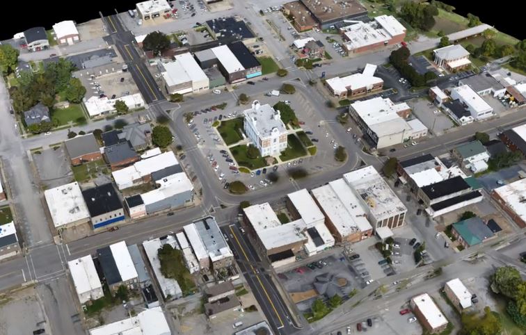
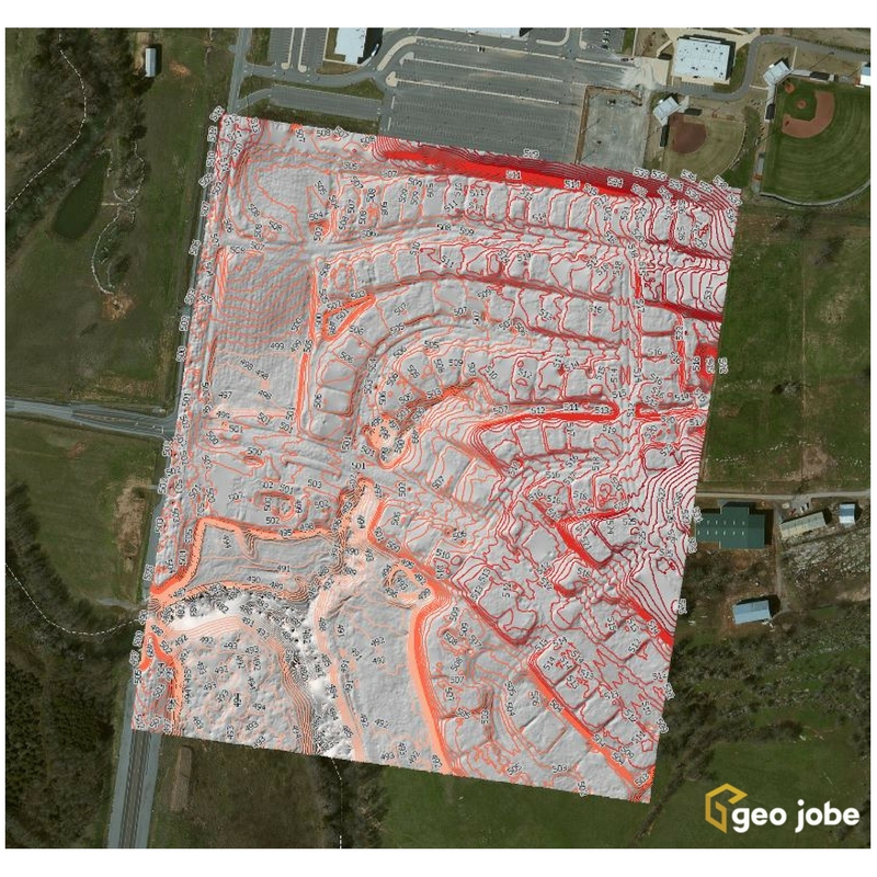
A question came up recently in a conversation about the different products and stages of processing and presenting data captured by UAVs. I’ll use a recent […]
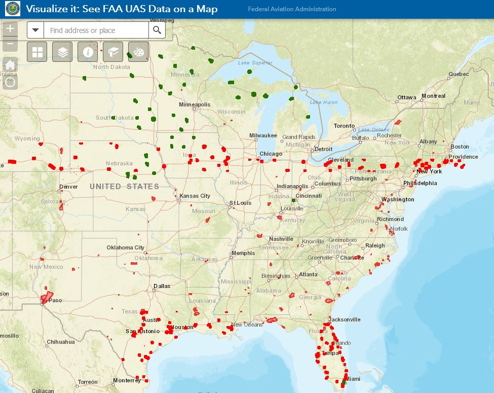
GEO Jobe UAV has come across several instances of confusion around and about FAA Part 107 UAV regulations, restrictions and requirements. This is not a legal […]
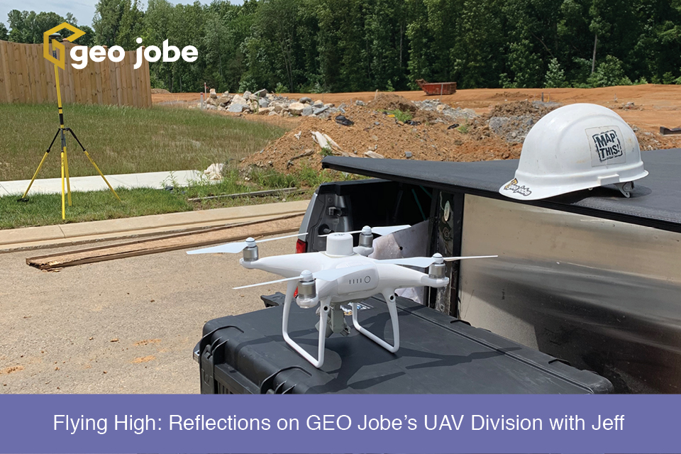
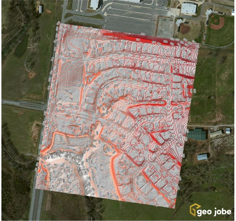
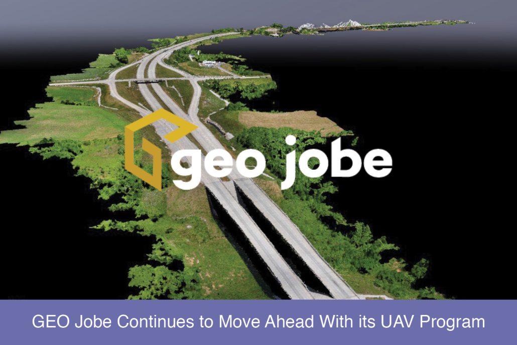
GEO Jobe has been using UAV technology over the last several years to collect, analyze, and disseminate geospatial data for clients in diverse industries from large […]
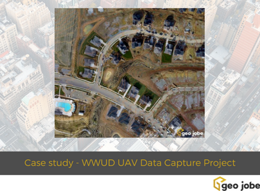
Local governments, utilities, and facility managers have a new resource at their disposal to help keep their GIS land base current and up to date while […]
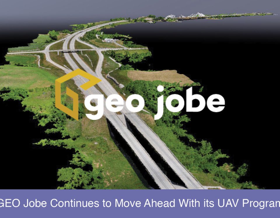
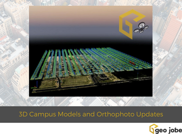
GEO Jobe is pleased to share that we offer high resolution low altitude orthophotography services (see geo-jobe.com/uav) and, optionally, hosting options via the GeoPowered Cloud. As […]


