AI agents are extremely powerful systems. They can write code, automate workflows, analyze data, and interact with software environments. But how does that saying go again? […]
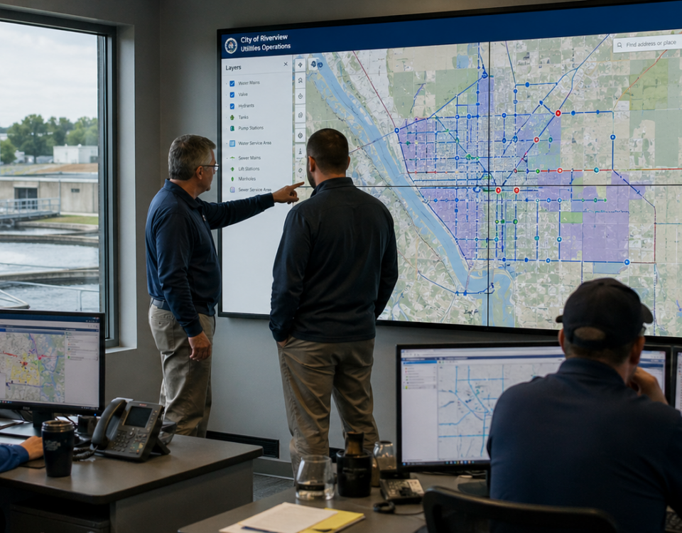
Model Context Protocol is reshaping how enterprise software connects to AI, and ArcGIS administration and content management is next in line If you manage an ArcGIS […]
“Quality data is as essential to Machine Learning as practice and quality instruments are to an orchestra. Be the conductor.” In the ever-evolving world of machine […]
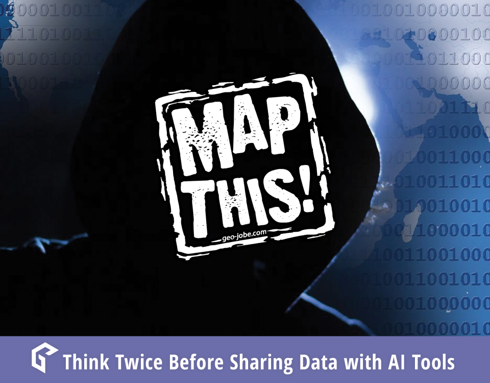
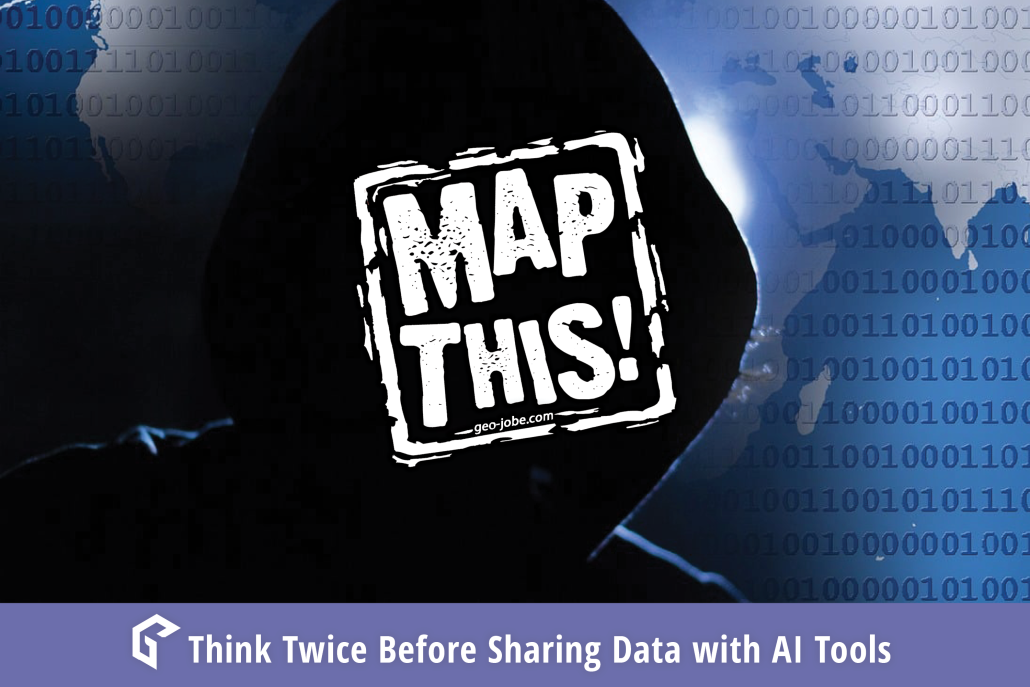
The DeepSeek Breach is a Warning AI tools are everywhere, making our work faster and more efficient. But handing over sensitive customer or company data to […]
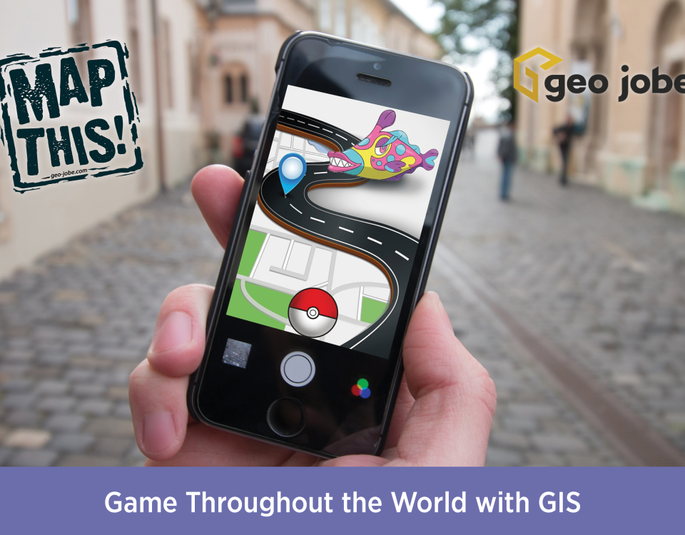
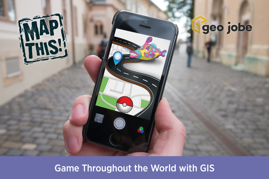
Photo by Element5 Digital from Pexels I am a huge lover of video games, and especially their maps and environments. Growing up on a wide variety of […]
Image generated by DALL-E using Microsoft’s Copilot Our world is undergoing a technological transformation as search engines on the World Wide Web have replaced our necessity […]
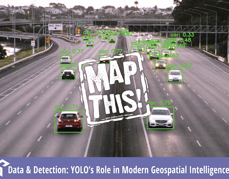
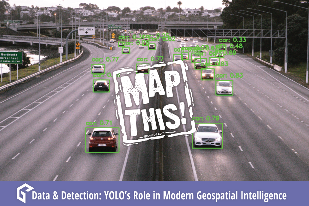
Recently, GEO Jobe explored image-based neural networks with GIS technology and maps. Convolutional Neural Networks, or CNNs, are a machine learning application that utilizes imagery to […]
As a geospatial professional in 2020, it’s nearly impossible to avoid being exposed to the ideas of AI, machine learning, and deep learning. Projects utilizing these […]


