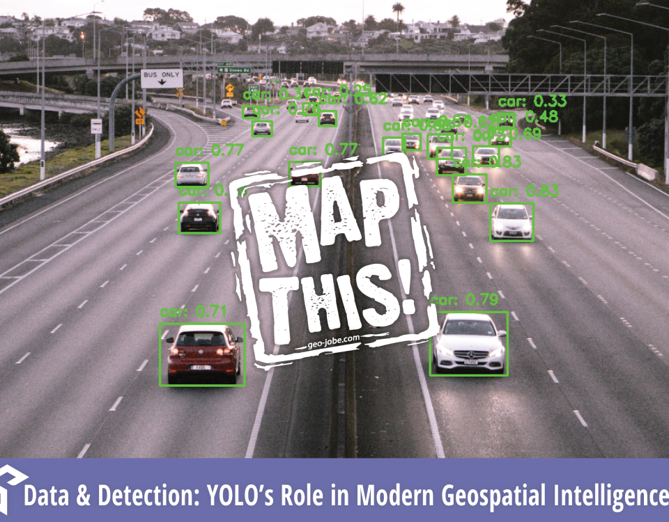
“Quality data is as essential to Machine Learning as practice and quality instruments are to an orchestra. Be the conductor.” In the ever-evolving world of machine […]
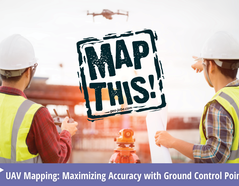
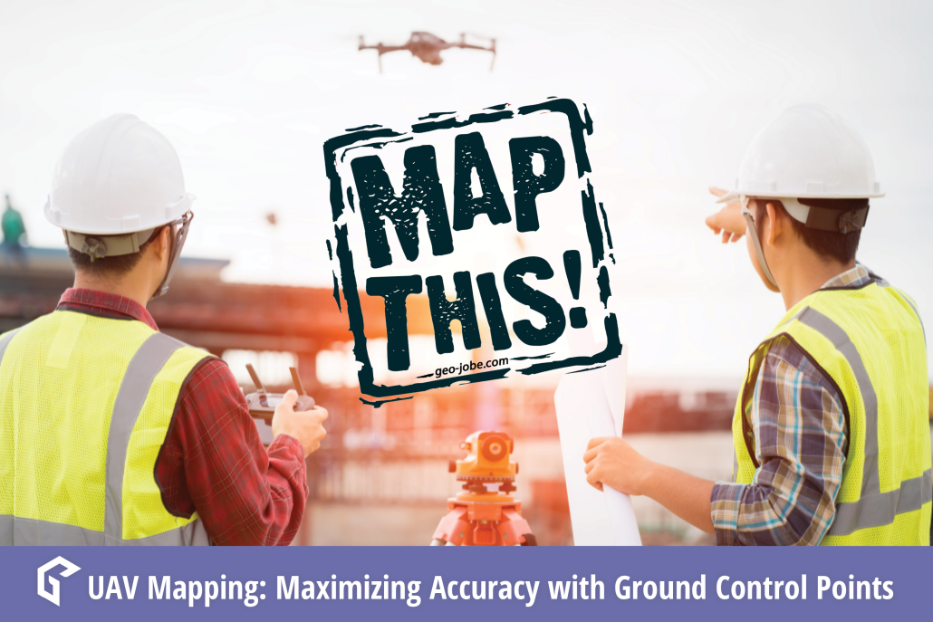
In the world of geospatial mapping, precision is everything. Enter Ground Control Points (GCPs)—the unsung heroes that ensure our digital maps and images align perfectly with […]
The living Atlas of the World is a constantly growing collection of ready-to-use maps, apps, and data, all curated by Esri and available for use by […]
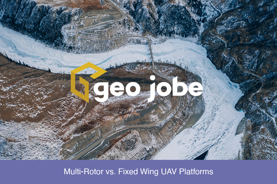
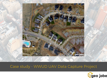
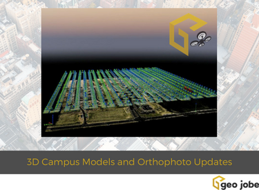
GEO Jobe is pleased to share that we offer high resolution low altitude orthophotography services (see geo-jobe.com/uav) and, optionally, hosting options via the GeoPowered Cloud. As […]

