Change Your Point of View With Photogrammetry

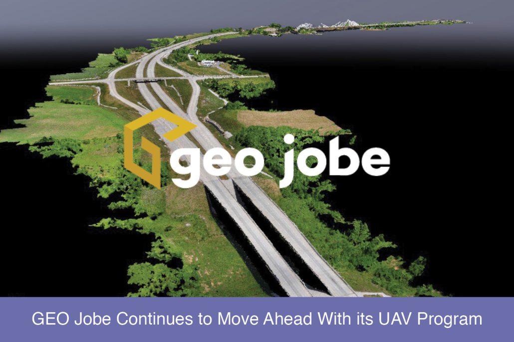
Photogrammetry is the art, science, and technology of obtaining reliable information about physical objects and the environment through processes of recording, measuring, and interpreting photographic images and patterns of recorded radiant electromagnetic energy and other phenomena (Wolf and Dewitt, 2000; McGlone, 2004). How does Photogrammetry work? Triangulation is the basis on which all photogrammetry is […]

READ MORE

A Check List For Flying UAV

There are certain things you can count on with almost any Unmanned Aerial Vehicle (UAV) job. Something will go wrong is one of those. It is almost as if the adage “One is none, two is one”, was made for UAV jobs. One of the pillars of Project Management is to identify and mitigate risk. […]

READ MORE

GeoGeeksinCars Video Interview – GEO Jobe in Cars with Jeff Dahlke, Remote Geosystems Inc., Colorado

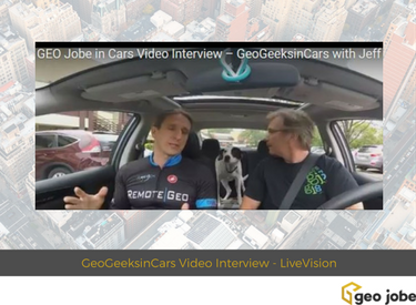
Enjoy this video interview from a visit to Fort Collins, Colorado where I met with Jeff Dahlke or Remote Geosystems, an Esri small business startup program member company.  The company specializes in Aerial, Drone & Mobile Geospatial Video Mapping Software & Video Recorders for Critical Infrastructure Inspections. Recently, Remote Geo announced the availability of LineVision […]

READ MORE