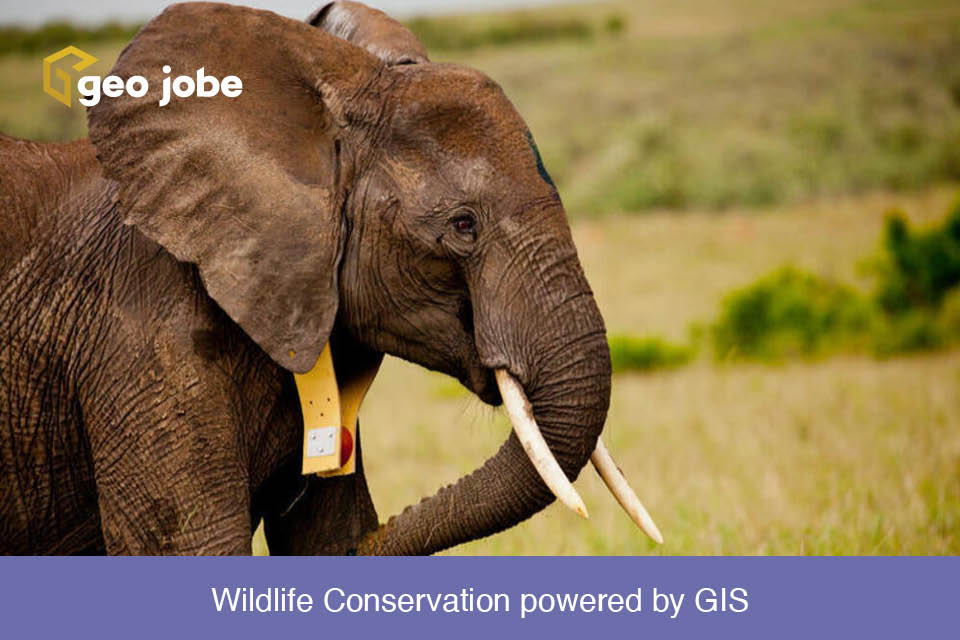
Protecting Nature for tomorrow Have you ever wanted to explore a far flung location, see animals in their natural habitat? When you think of the African […]
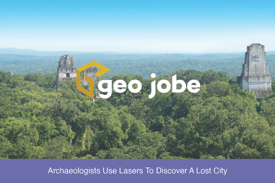
Imagine for a moment walking through a dense and lush jungle landscape. You come across a deteriorating shell of a building long reclaimed by nature. In your mind, […]
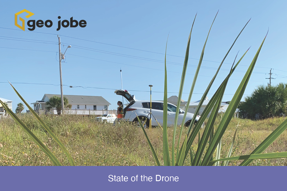
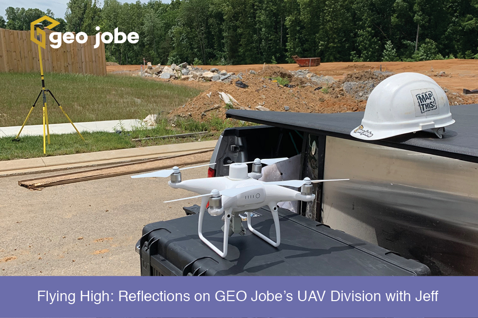
Winding down the year is a good time to reflect on the changes, applications, and direction of the small Unmanned Aerial Systems in the mapping industry. […]
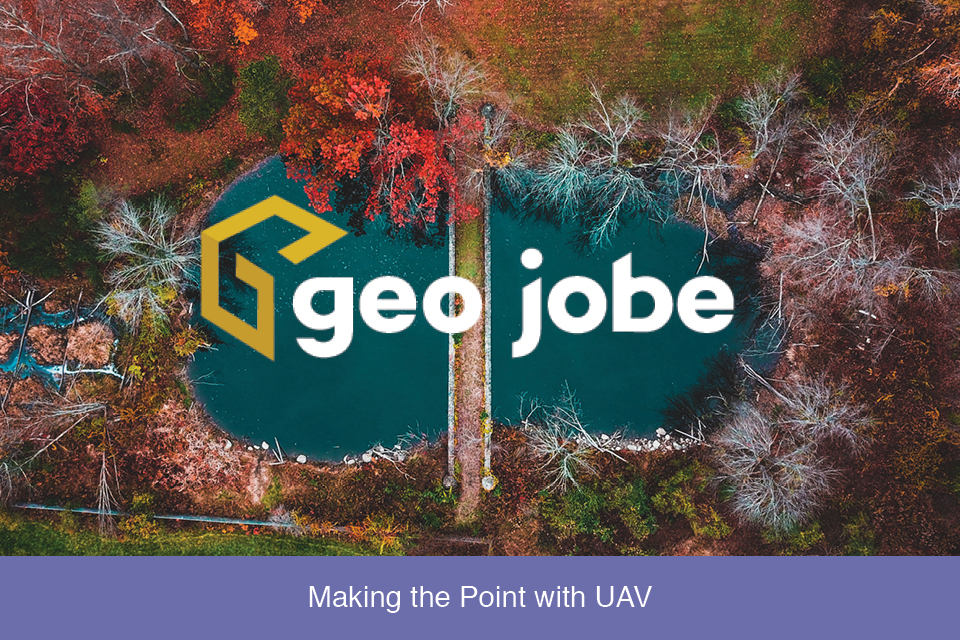
A question came up recently in a conversation about the different products and stages of processing and presenting data captured by UAVs. I’ll use a recent […]