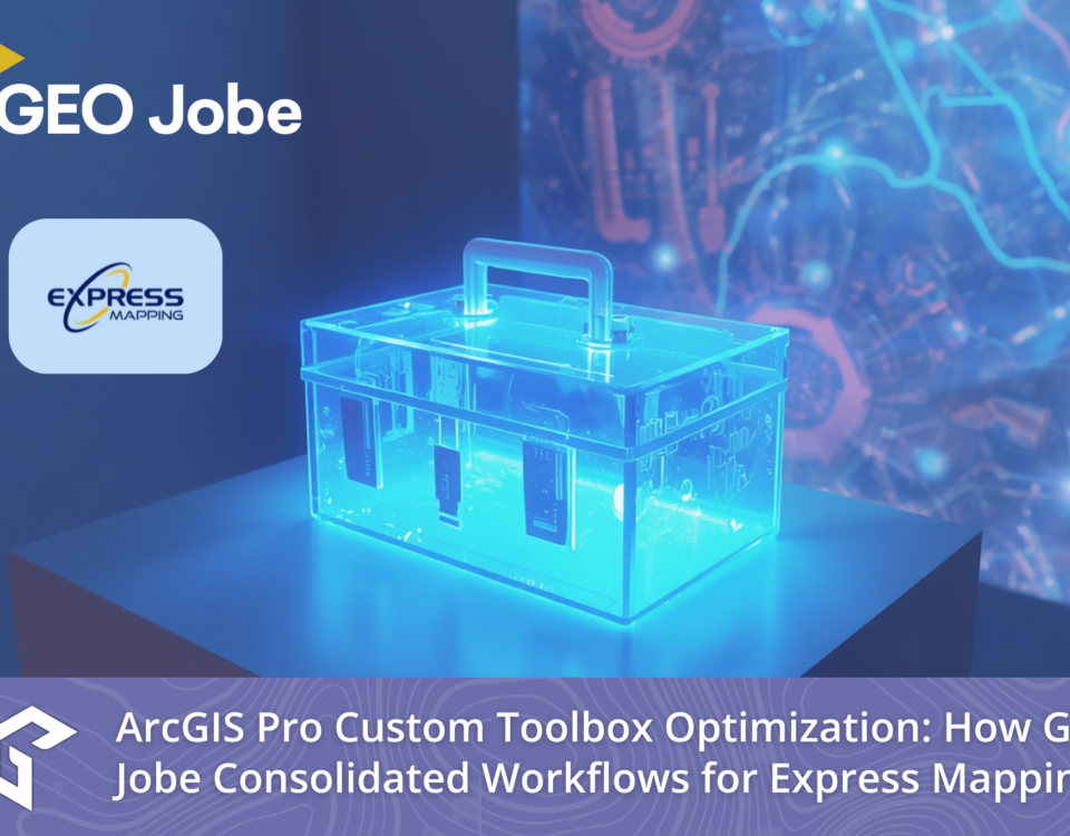
Constant evolution in business means continuously improving, adapting, and adopting new spatial technologies. Over a five-year partnership that began in 2020, GEO Jobe collaborated with entrepreneur […]
Digital map accessibility is no longer just a “nice-to-have.” It is becoming a strict regulatory requirement. GEO Jobe and XR Navigation recently hosted a dual webinar […]
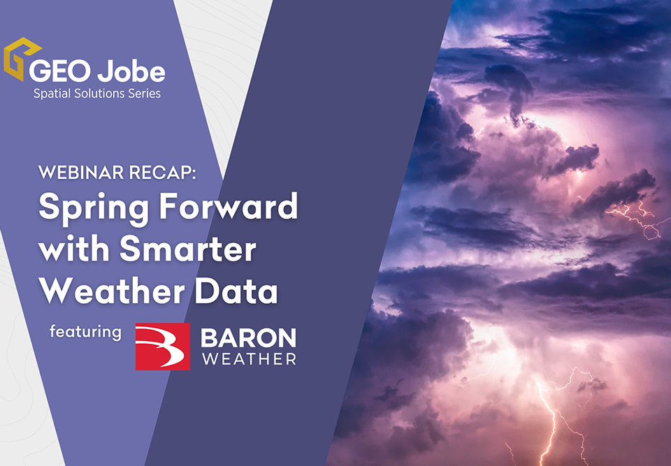
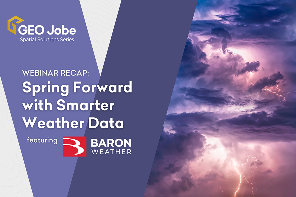
In our recent webinar, GEO Jobe and Baron Weather showed how real-time weather intelligence can strengthen ArcGIS workflows and improve operational decision-making. Attendees learned how live, continuously updating weather data—built for enterprise […]
Attachments can quietly grow into hundreds of gigabytes, slowing performance and taking up valuable space and resources—yet many organizations still don’t know where the problem is […]
Managing ArcGIS environments can be increasingly complex. Between growing datasets, rising user expectations, and heightened security requirements, GIS administrators are expected to do more—often with limited […]
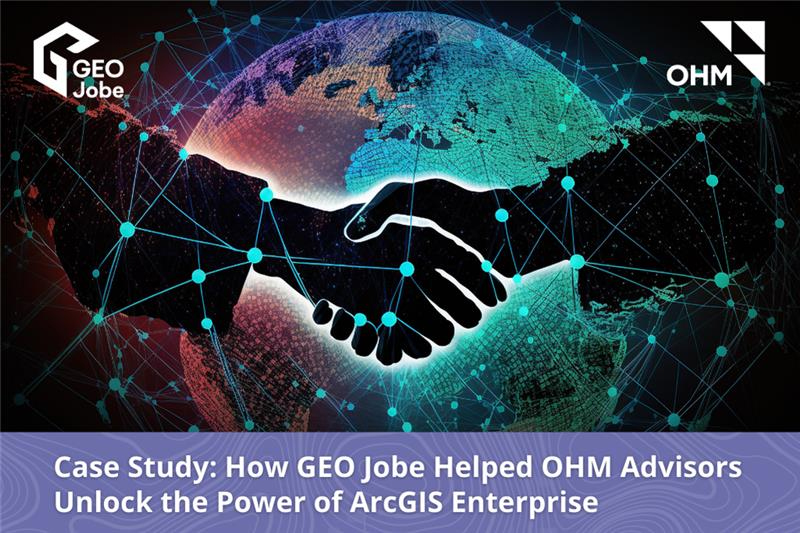
The following is a Case Study examining a collaboration with Esri Partners GEO Jobe and OHM Advisors. In November 2024, OHM Advisors partnered with GEO Jobe […]
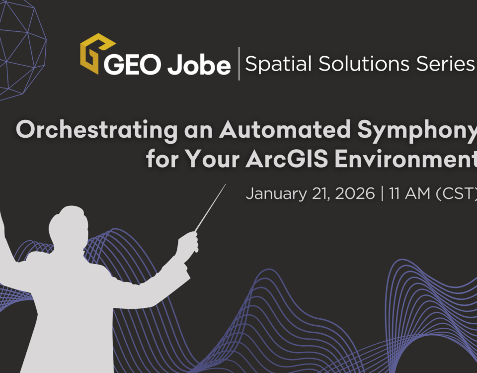
In the world of GIS, managing a complex ArcGIS environment can feel like conducting an orchestra – but sometimes, it feels more like a chaotic jumble […]
In observance of GEO Jobe’s 25 years in business, we reflect on the company’s past, present, and future. Our Executive Team talks about the company’s commitment […]
In honor of GEO Jobe’s 25 years in business, our Executive Team chats about the company’s past, present, and future. CEO David Hansen talks with Danny […]


