It is not uncommon for organizations to supplement their GIS data with aerial imagery captured from a manned aircraft or drone. This perspective may come as […]
A question came up recently in a conversation about the different products and stages of processing and presenting data captured by UAVs. I’ll use a recent […]
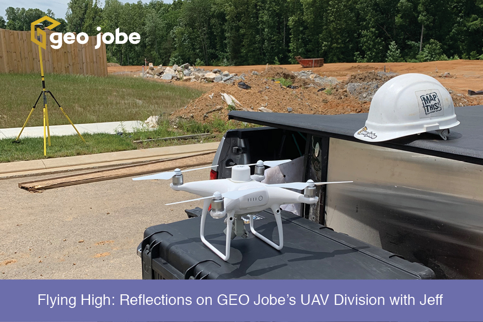
GEO Jobe’s UAV Services Group launched about 2 years ago, expanding our professional services offerings in Unmanned Aerial Vehicle (UAV) flight planning, data analysis, and aerial […]
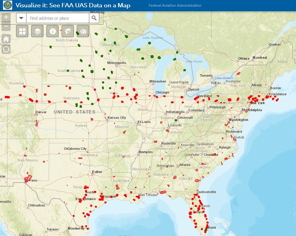
GEO Jobe UAV has come across several instances of confusion around and about FAA Part 107 UAV regulations, restrictions and requirements. This is not a legal […]
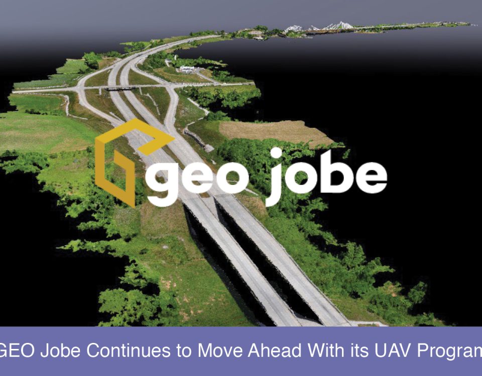
GEO Jobe has been using UAV technology over the last several years to collect, analyze, and disseminate geospatial data for clients in diverse industries from large […]
GEO Jobe’s VP of Product Development, David Hansen, sat down earlier this year at DevSummit to discuss the GEO Jobe roadmap, the ArcGIS Ecosystem at 10.5 […]


