Our latest news/PR shares details of our UAV and Aerial Mapping Services group being recognized by industry leader, Pix4D, for “Smart City” mapping and the creation […]
Local governments, utilities, and facility managers have a new resource at their disposal to help keep their GIS land base current and up to date while […]
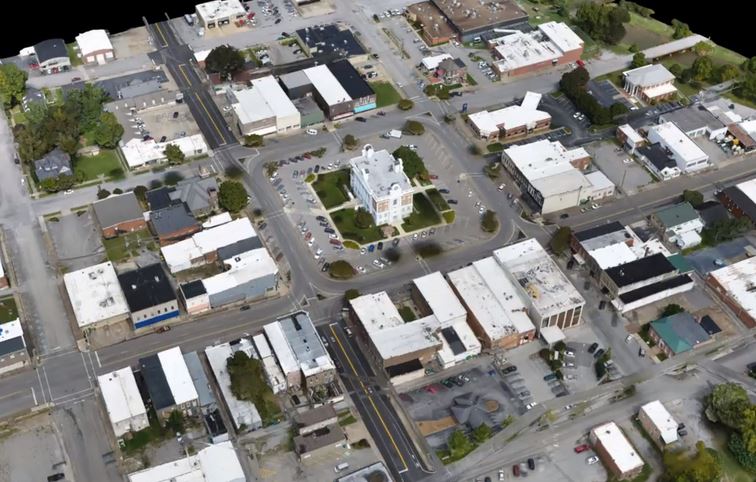
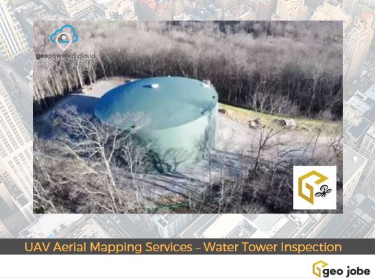
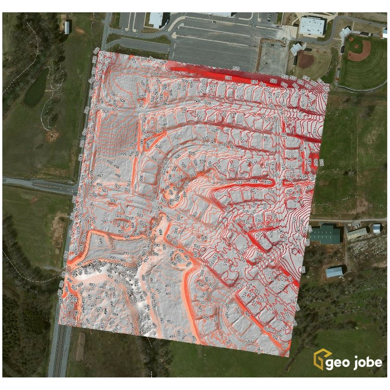
GEO Jobe is pleased to share that we offer high resolution low altitude orthophotography services (see geo-jobe.com/uav) and, optionally, hosting options via the GeoPowered Cloud. As […]
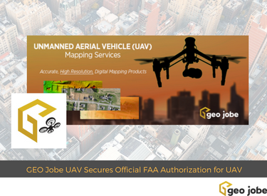
GEO Jobe UAV Mapping services is conducting UAV/UAS operations at levels few other geospatial technology companies are having success at achieving. GEO Jobe UAV Mapping Services […]
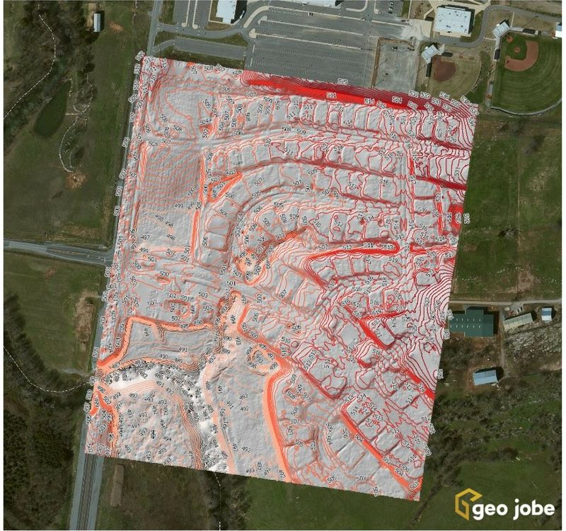
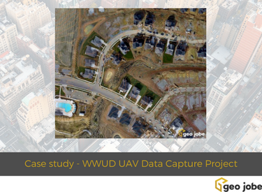
During the winter 2016/2017, Geo Jobe GIS Consulting UAV aerial mapping services were selected to provide asset inventory aerial inspection and mapping of the HB&TS – […]
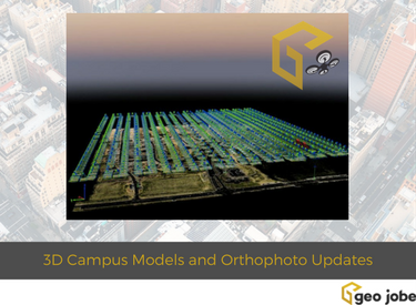
A visit to Denver, Colorado for the GIS in the Rockies conference #GISITR at the University of Denver. Enjoy this drive around the campus area with […]
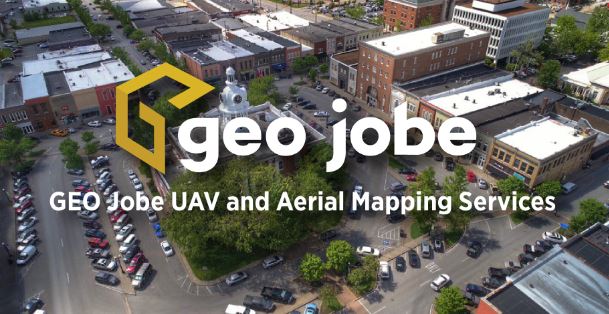
Welcome to GEO Jobe UAV and Aerial Mapping Service, based in Nashville, Tennessee Thank you for checking out GEO Jobe’s UAV and aerial mapping services. We’re […]

