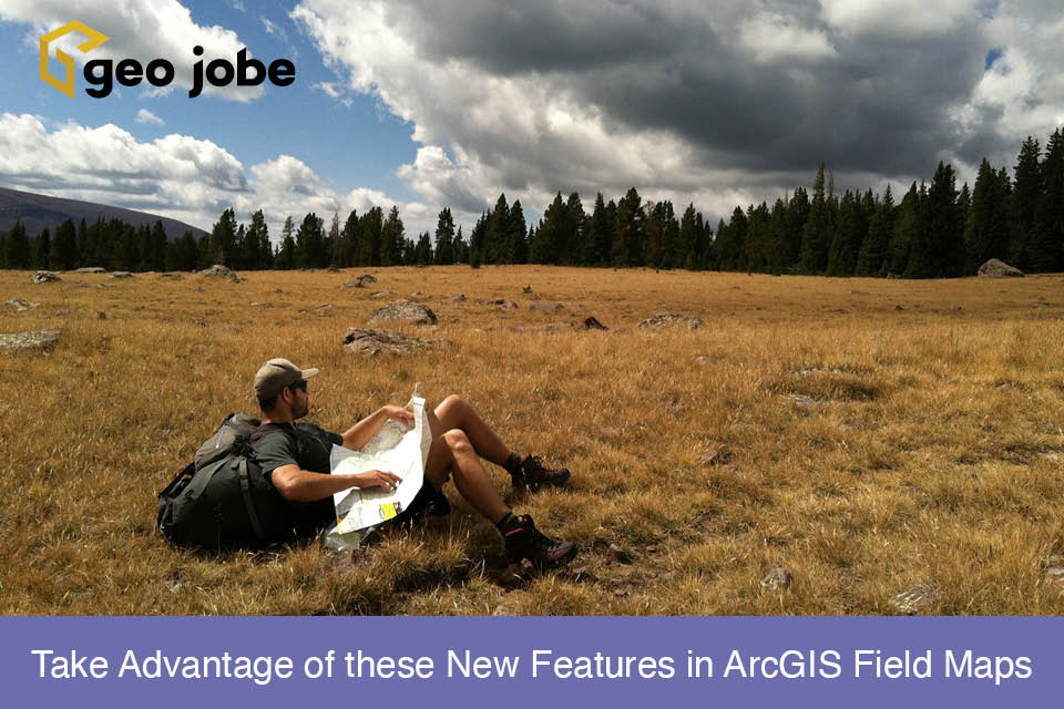
When GIS professionals think of maps, our minds wander anywhere from locating water meters for the town to the workflow required to analyze the carbon sequestration […]
Since the retirement of ArcGIS Collector in December of 2021, ArcGIS Field Maps has gotten its fair share of enhancements. Data collection forms are now incredibly […]
In GIS workflows, there are several ways to accomplish the same task. From symbology configurations to analyses, each person has their way of doing things. Sometimes, […]
If you work in the utility sector, specifically electricity, you have more than likely heard of Esri’s Utility Network and may have been interested in implementing […]
Sharing data can be a touchy subject. In general, it seems that people and institutions do not like their research and findings being freely accessible to […]
It is not uncommon for organizations to supplement their GIS data with aerial imagery captured from a manned aircraft or drone. This perspective may come as […]