For any GIS department, managing an enterprise geospatial ecosystem is a balance of precision and data integrity. Whether your organization serves local government, utilities, or public […]
The Advantages of Fully Supported Products Python Scripts Are Not the Same as Products In the GIS industry, there is a persistent assumption that if a […]
Photo Source: Riccardo (Pexels) ArcGIS Dashboards puts the power of location intelligence at your fingertips, but mastering its full potential takes more than just dragging and […]
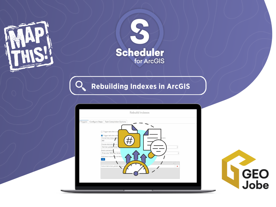
If you’re managing spatial data with either ArcGIS Online or ArcGIS Enterprise, you’re likely familiar with the importance of performance optimization. One often overlooked aspect of […]
Automated processes in Geographic Information Systems (GIS) are commonplace for many repeatable workflows because of their consistency and time saving across multiple runs. Automation can be […]
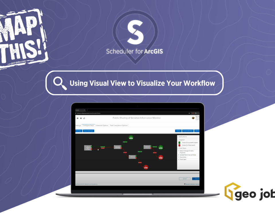
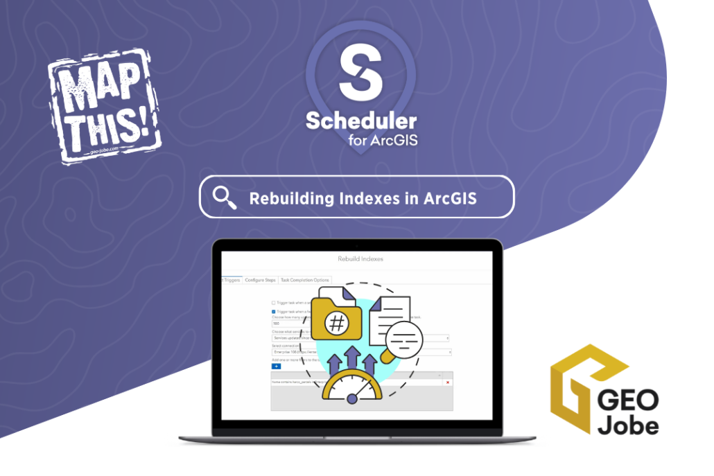
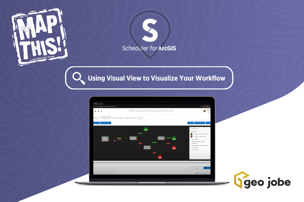
Imagine having a flowchart that maps out every path your ArcGIS® content takes—success or failure, it’s all crystal clear. Scheduler for ArcGIS by GEO Jobe is […]
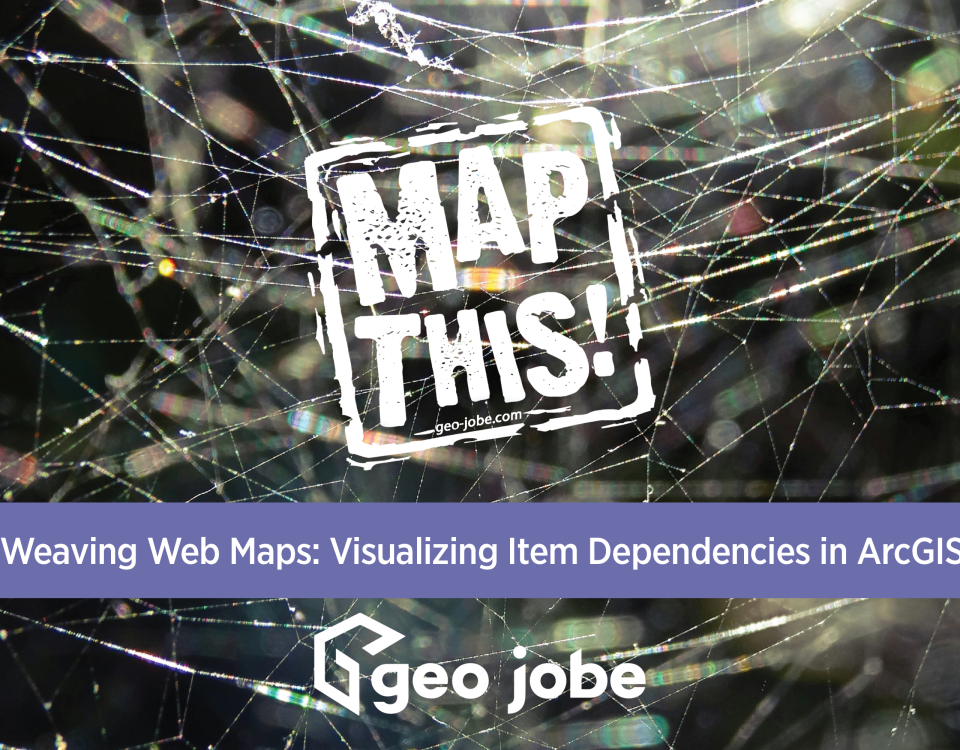
What are Dependencies? As a GIS specialist, you may be familiar with working in an ArcGIS Organization, a company’s collaborative web GIS portal that is composed […]
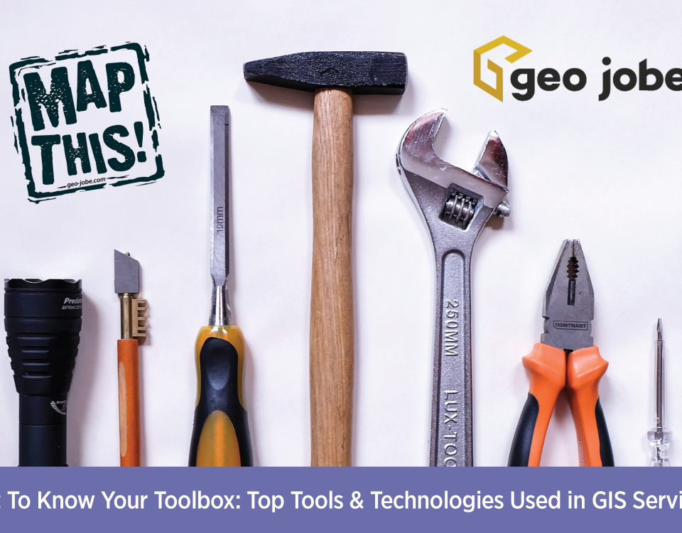
Further your GIS knowledge with Esri MOOCs and more! The GIS field is a vast field with multiple specializations and consistent new developments. While a GIS […]
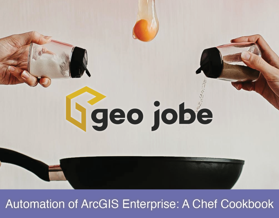
Chef is an IT automation framework that can automate installation and configuration of IT components/assets for ArcGIS Enterprise. Automation of ArcGIS configuration management operations, such as […]
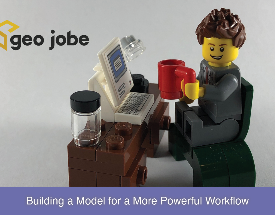
Leveraging Inline Variable Substitution Introduction ModelBuilder™ is a tool within ArcGIS® Pro that allows the user to combine different geoprocessing tools and steps to help automate […]


