

Esri’s ArcGIS Monitor is a powerful product designed to monitor all aspects of your ArcGIS implementation, including the components of ArcGIS Enterprise, databases, servers, and underlying infrastructure. ArcGIS Monitor works by configuring connections to different components of your system, which then gather metrics on status, availability, usage, and other factors.
One thing that you may not know about is the ArcGIS Monitor Gallery which is an ArcGIS Online group provided by Esri that contains a number of great resources including step-by-step documentation on common setup and configuration items as well as extensions for ArcGIS Monitor that allow you to add capabilities and monitor additional features. In this post, I’ll cover the process of adding the Geoevent Server extension for ArcGIS Monitor.
To get started you’ll first need to go to the ArcGIS Monitor Gallery and download the ArcGIS Geoevent Addon. This .zip file can be placed on your server and you can use the “Import Extension” menu in ArcGIS Monitor Administrator to import the file. Once the file has been imported you’ll want to restart ArcGIS Monitor Administrator to re-read the bin folder and make the extension available.
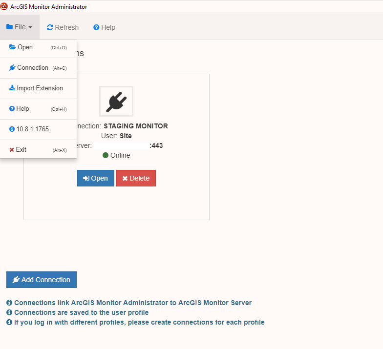
Once you’ve reopened ArcGIS Monitor Administrator the Geoevent extension will be available in the “Ext” area and you can start configuring it for your environment. For this you’ll need the TokenURL and SiteURL for your environment along with credentials to authenticate. Note that these URL’s will be different depending on if you’re connecting to a stand-alone Geoevent Server or one that’s been federated with ArcGIS Enterprise. During this step you may also need to add a new credentials to ArcGIS Monitor that will be used to connect to the Geoevent Server if the credentials differ from any that have already been stored.

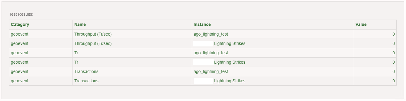
Once you’ve entered the environment information and credentials you can click on Test to confirm that ArcGIS Monitor can connect to the Geoevent Server.
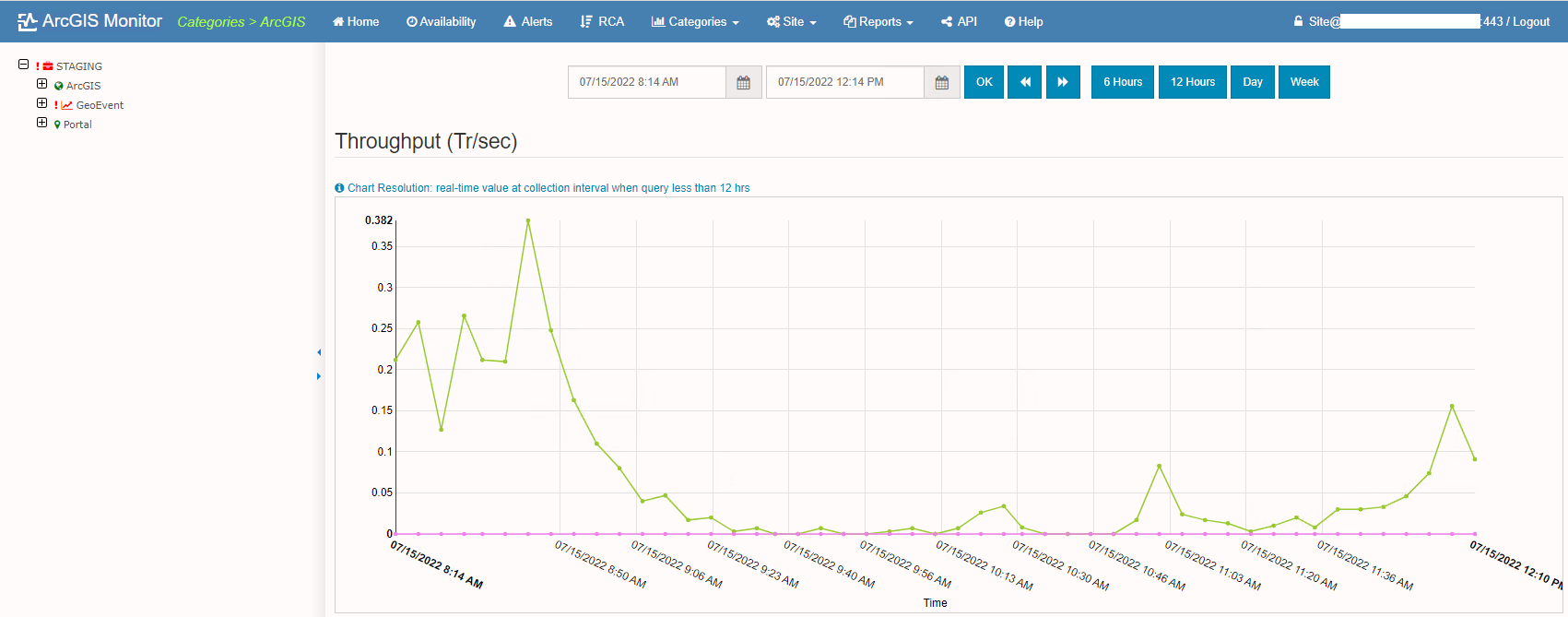
Once you’ve configured the extension you may need to wait a few days for metrics to become available, depending on how many or how active your inputs, outputs, and Geoevent Services are. Once configured, the metrics captured from Geoevent Server will be available in a few different places in the ArcGIS Monitor site:
Categories > ArcGIS > Geoevent
- Metrics such as collection time, logs & service errors, throughput, and transactions
- Metrics in this section are searchable by date range and by specified time period options
Site > Catalog > Extensions
- This area shows metrics for each input, output, and service
Reports > Geoevent
- This area provides a summary of events on the Geoevent Server services
This post highlights one of the many extensions available for ArcGIS Monitor, and the group content is definitely worth exploring if your organization uses the Monitor product and you’d like to have it monitor additional areas of your infrastructure.
If you are interested in ArcGIS Monitor, Geoevent, or any of our Enterprise Services please contact us at connect@geo-jobe.com for a free consultation!
Looking for more articles? Check out these!
- Overcoming challenges when migrating from ArcGIS Online to ArcGIS Enterprise
- GEO Jobe Partners with Accelerate MS and Mississippi Gulf Coast Community College to Create GIS Support Training Program
- Git Good with Visual Studio Code
- Type Tactically with TypeScript
- Say Goodbye to Paper Maps and Think Digital!
