

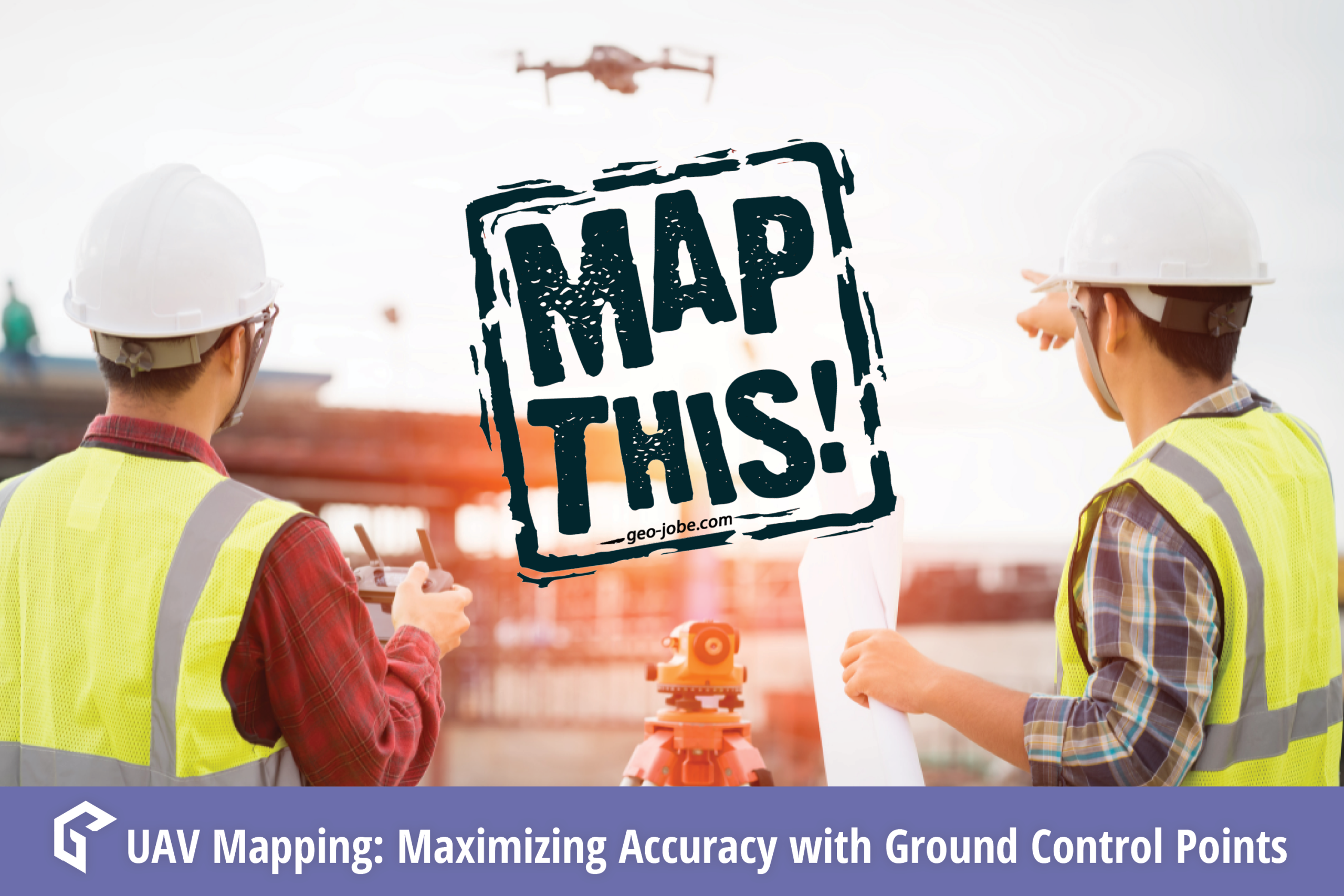

In the world of geospatial mapping, precision is everything. Enter Ground Control Points (GCPs)—the unsung heroes that ensure our digital maps and images align perfectly with the real world.
Ground control points are easily identifiable locations on the Earth’s surface where geographic coordinates have been observed and verified. GCPs are vital for tasks like georeferencing satellite images, correcting aerial photos, and validating LiDAR data accuracy. GCPs play a critical role in transforming raw data into precise, actionable maps that guide everything from land planning to navigation.
Whether you’re working on a mapping project, conducting a survey, or producing 3D models, GCPs ensure proper alignment with real-world coordinates.
How to use GCPs effectively:
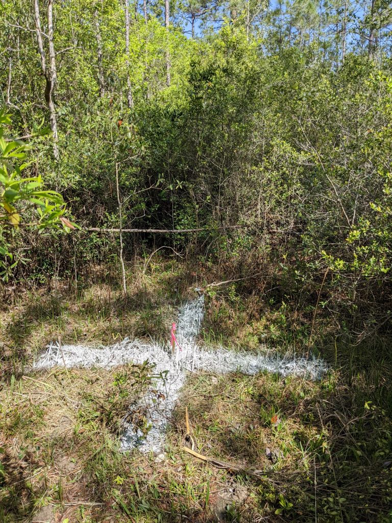
1. Plan and Set Out Targets
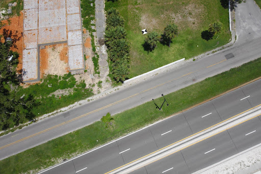
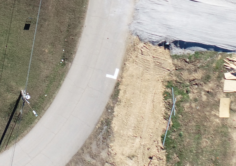
Create a map of locations where GCPs would ideally be placed, understanding that these positions may need to be adjusted once in the field. Set out aerial targets that are sharp, high contrast, and easily visible from the air. It’s crucial that these targets are evenly distributed across the survey area to provide comprehensive coverage. For optimal results, set out at least five GCP targets, this will ensure your UAV data can be accurately corrected over the entire survey area.
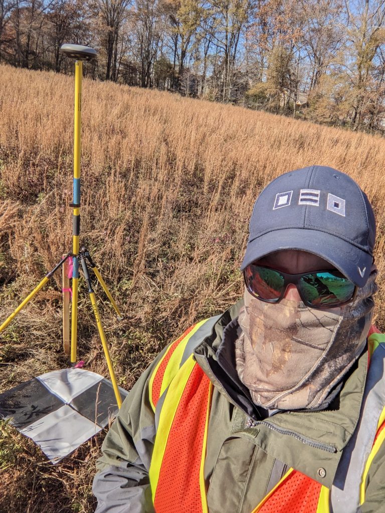
2. Confirm Positional Accuracy with a Surveyor
Once the targets are placed, the next step is to consult a licensed surveyor. The surveyor’s role is to observe and record the precise locations of each GCP in a local coordinate system. This process ensures that the GCP positions are accurate and reliable. A surveyor will use specialized equipment, such as a high accuracy GNSS data logger, to measure each control point’s exact coordinates, which are essential for the next step of correction.
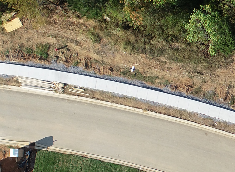
3. Apply Corrections to the UAV Data
Using the surveyor’s observations, you can now locate the aerial targets in your UAV data applying the relevant corrections and offsets. This step will adjust your UAV data to ensure that it aligns with the real-world coordinate system, correcting any distortions or misalignments.
By following these essential steps, you can significantly enhance the accuracy of your UAV data, leading to more reliable results in your projects.
If you’d like to learn more about how to incorporate GCPs into your UAV workflow, feel free to email us via connect@geo-jobe.com. We’re here to help you get the most out of your aerial data!

Did you know GEO Jobe offers aerial mapping solutions?
For more than a decade, GEO Jobe has been providing high-quality UAV services with custom aerial imagery and advanced digital mapping solutions. Our services have been integral to a variety of industries, including utilities, local government, planning, surveying, and engineering.
Our licensed flight team specializes in fast, efficient data collection at competitive rates, helping clients keep their GIS data updated and accurate. Whether it’s a large-scale project or routine updates, GEO Jobe’s UAV Team delivers the insights and precision clients need.
Click here for more about our UAV Services.
Do you have a project you’d like to submit for an estimate? Create your FREE FlyThis job!
Check out these other articles from our MapThis! blog:
- Why Winter is the Best Time for Capturing Aerial Data
- The Rise of UAVs: Transforming the Cinematic Landscape
- Vanderbilt University: Landscape Planning with UAV Tech
- UAV Vertical Asset Inspection: Techniques and Benefits
- Q&A with Reed Davis, UAV Business Development

About Our Company
GEO Jobe is a leading GIS software and geospatial solutions provider, serving over 10,000 organizations globally. GEO Jobe is best known for developing the most popular applications in the ArcGIS Marketplace, including Admin Tools for ArcGIS, Backup My Org, Clean My Org and Scheduler for ArcGIS.
GEO Jobe offers U.S.-based 24/7 Support solutions for organizations using Esri’s ArcGIS© System. GEO Jobe also offers professional services focused on Esri’s ArcGIS© System, including custom software development, enterprise solution implementation, data science and UAV data collection.
Founded in 1999, GEO Jobe is in its 25th year of operation, has been an Esri business partner since 2002 and is currently a Platinum Partner.
