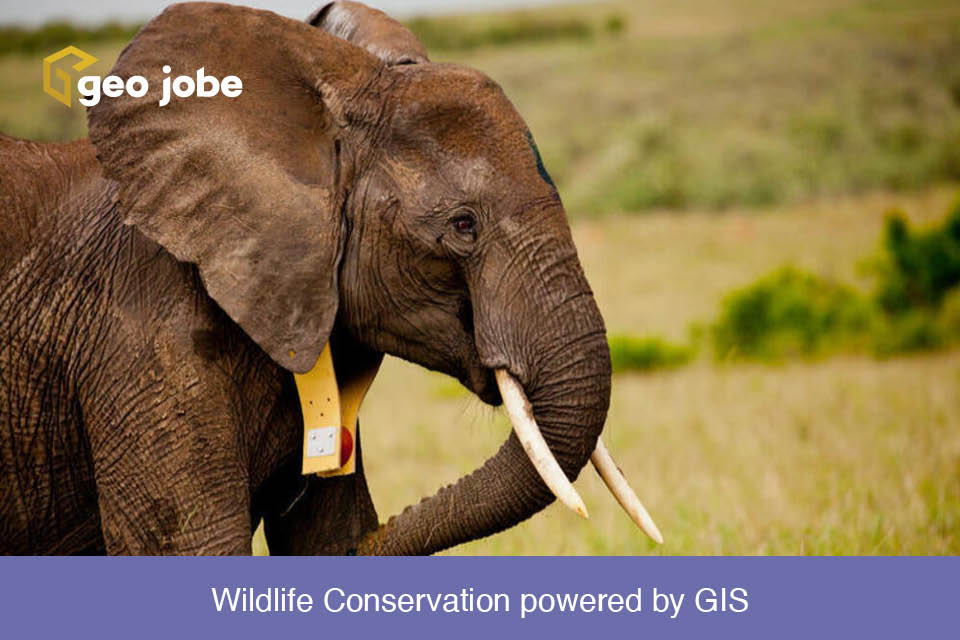
Protecting Nature for tomorrow Have you ever wanted to explore a far flung location, see animals in their natural habitat? When you think of the African […]
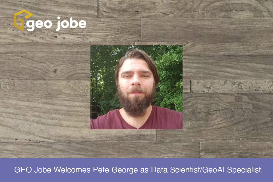
GEO Jobe is pleased to welcome Pete George as a Data Scientist/GeoAI Specialist. Previous to GEO Jobe, Pete was a Software Engineer at NAL Research Corporation […]
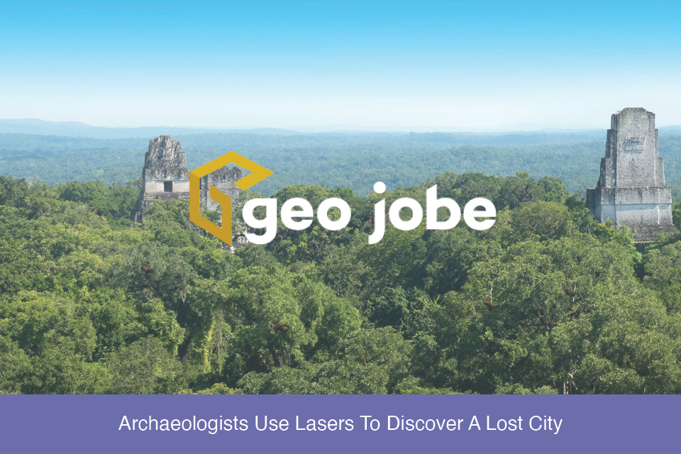
Imagine for a moment walking through a dense and lush jungle landscape. You come across a deteriorating shell of a building long reclaimed by nature. In your mind, […]
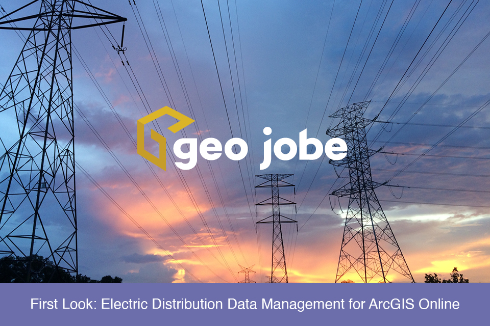
If you work in the utility sector, specifically electricity, you have more than likely heard of Esri’s Utility Network and may have been interested in implementing […]
Sharing data can be a touchy subject. In general, it seems that people and institutions do not like their research and findings being freely accessible to […]
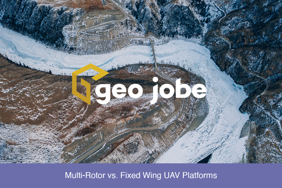
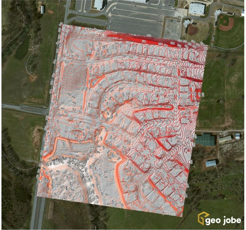
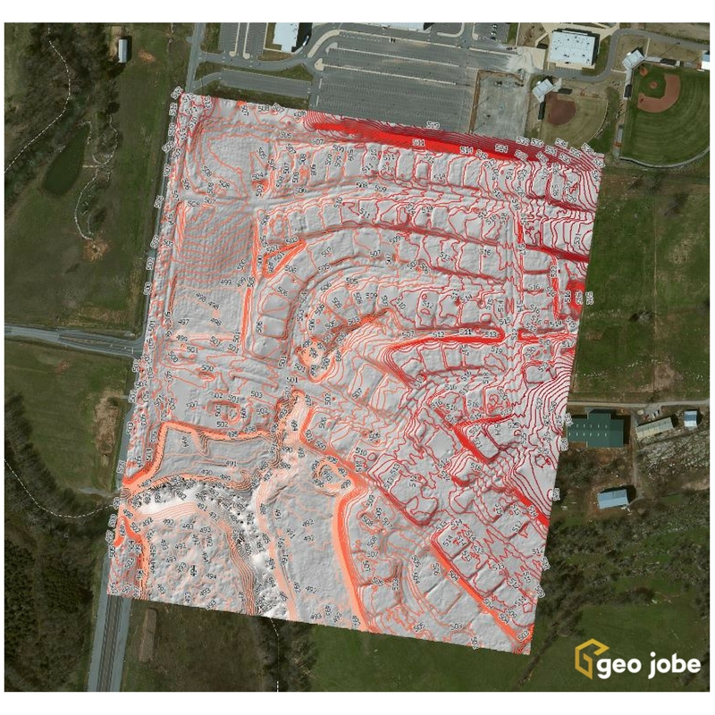
A question came up recently in a conversation about the different products and stages of processing and presenting data captured by UAVs. I’ll use a recent […]
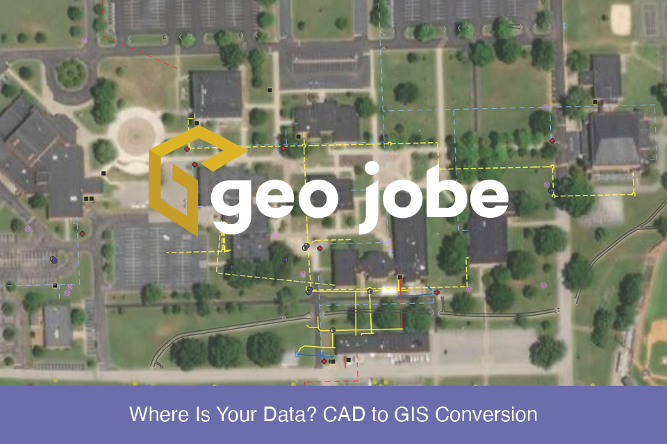
Local governments, utilities, and facility managers have a new resource at their disposal to help keep their GIS land base current and up to date while […]

