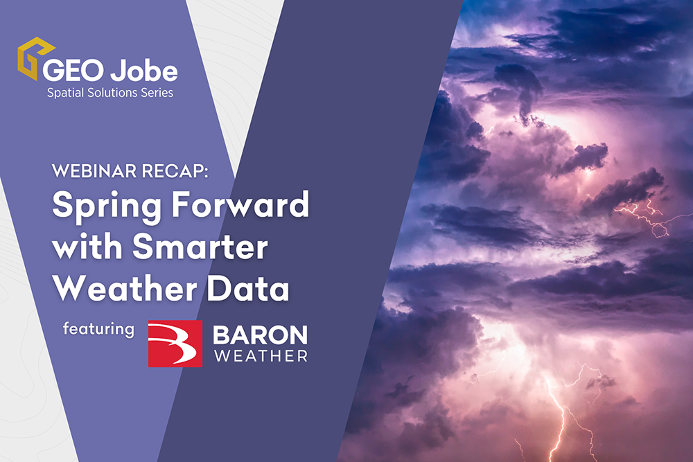
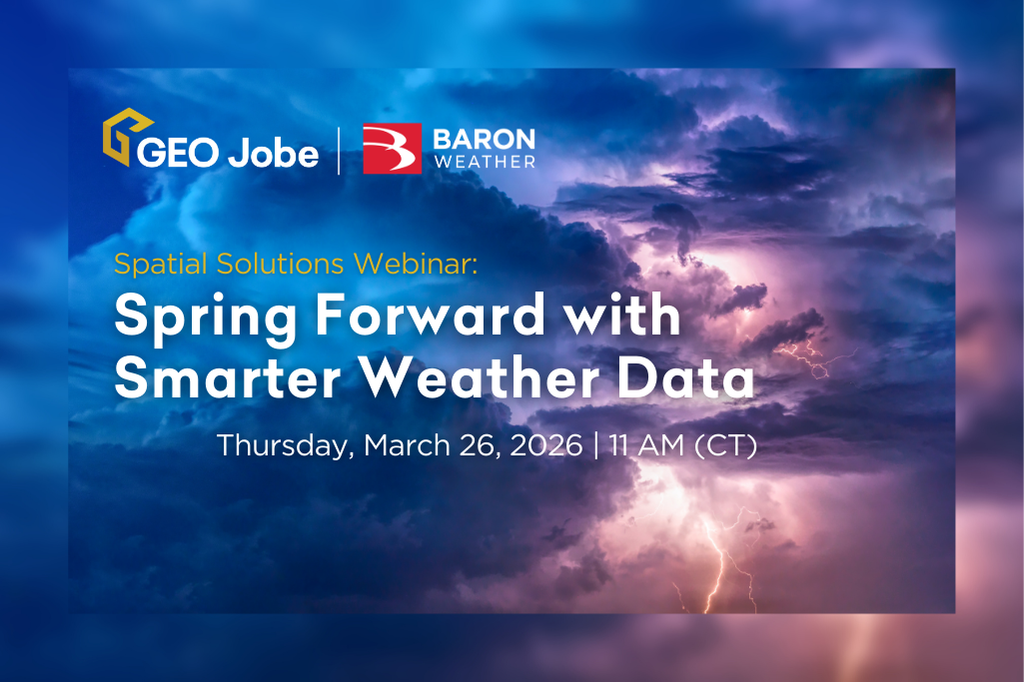
Extreme weather events seem to be in the news more and more often today. Everything from tornados, heat waves, hurricanes, and winter storms impacts people in nearly every location. As a lifelong resident of the Mississippi Gulf Coast who’s had to deal with more than a few hurricanes, I, for one, can say that I […]
Tag: data
Enhancing Field Workflows with ArcGIS Field Maps using Related Tables
ArcGIS Field Maps is a powerful application within the Esri ecosystem that helps streamline workflows for data capture and asset monitoring out in the field. Multiple use cases for field maps have been utilized, from mapping sightings of invasive species to tracking damage to homes after storms. One of the most common use cases is […]
Stop Sabotaging by Not Standardizing your Data
As GIS professionals, we deal with a lot of data, much of which must be entered by hand – sometimes by multiple people over long periods of time. While we often like to focus on new and exciting ways to use this data, such as new technologies or sophisticated forms of analysis, we don’t always […]
The Potential of ArcGIS Knowledge: Advantages and Integration Strategies
Introduction In the field of Geographical Information Systems (GIS), tools that enable efficient data management and analysis are essential. ArcGIS Knowledge is a platform that enables users to create and manage knowledge graphs for spatial data. In this blog post, we explore various implementations and benefits of ArcGIS Knowledge. Graph Database Background Graph databases and […]