What’s new in 1.4.1? CleanMyOrg has a brand new update available with some exciting features and improvements. In CleanMyOrg 1.4.1, we have some new scans to […]
Imagine for a moment walking through a dense and lush jungle landscape. You come across a deteriorating shell of a building long reclaimed by nature. In your mind, […]
BackupMyOrg 1.1.1 is now here, bringing you new features, fixes, and performance improvements to make using BackupMyOrg easier to use than ever. Some of the new […]
Q: What is your job at GEO Jobe, and what does it entail? A: Typically, it’s business development activities related to our Enterprise Team. However, as […]
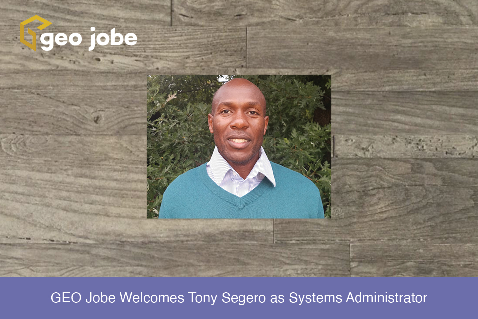
GEO Jobe is pleased to welcome Tony Segero as a systems administrator. Previous to GEO Jobe, Tony was at Trinitech Consulting Global where he built and […]
Last August, we covered some of the highest-level concepts about GeoAI in an attempt to demystify it. If you haven’t already, I recommend reading that article […]
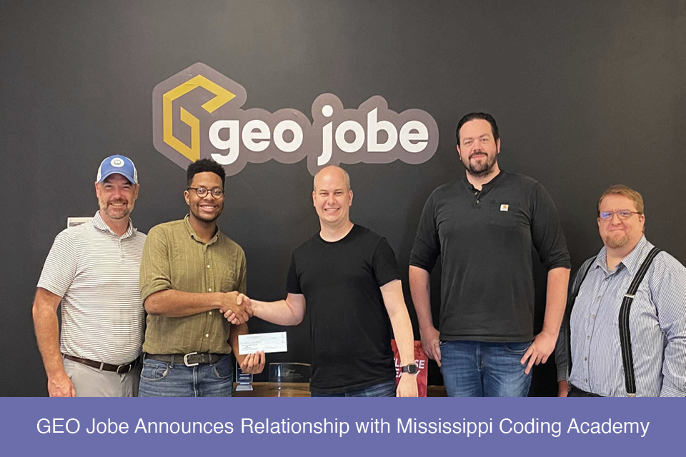
GEO Jobe is pleased to announce a relationship with Mississippi Coding Academy. This investment on behalf of GEO Jobe symbolizes the beginning of a mutually beneficial […]
When moving large data sources between servers and personal computers I frequently utilize cloud storage services, like Google Drive, to help facilitate the move. During a […]
Common terms and abbreviations: UAV = Unmanned Aerial Vehicle sUAS = small Unmanned Aircraft System (less than 55lbs) RTK = Real Time Kinematic, high accuracy gnss […]