What Are GIS Services? GIS services can be a wide range of services such as UAV digital mapping, solution engineering, or spatial data collection/development. Services such […]
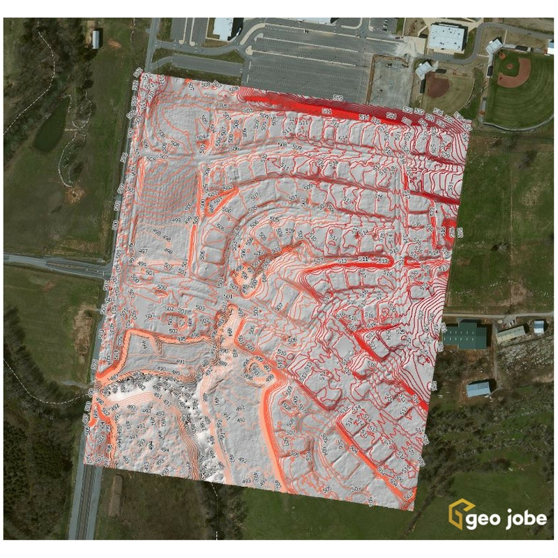
Photogrammetry is the art, science, and technology of obtaining reliable information about physical objects and the environment through processes of recording, measuring, and interpreting photographic images […]
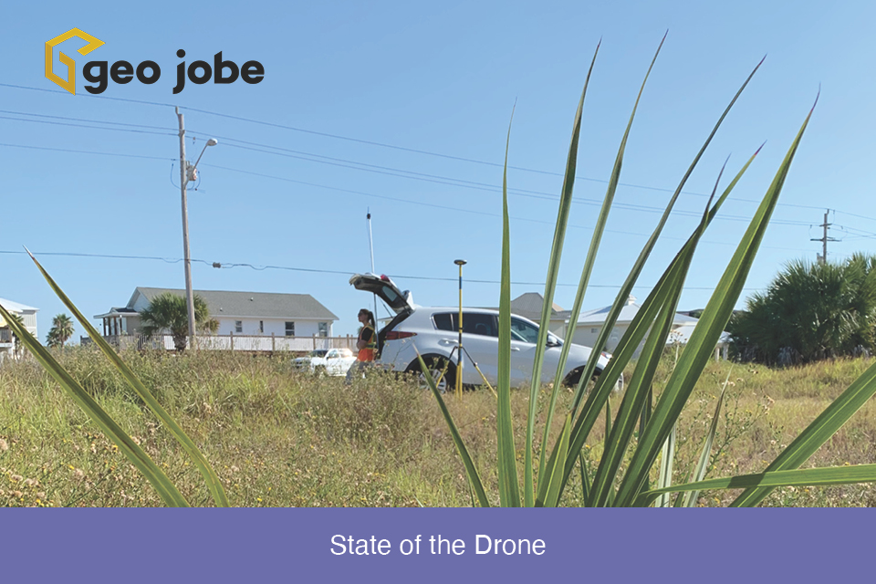
Winding down the year is a good time to reflect on the changes, applications, and direction of the small Unmanned Aerial Systems in the mapping industry. […]
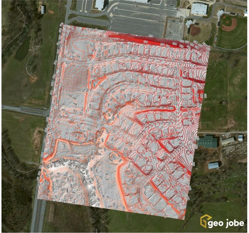
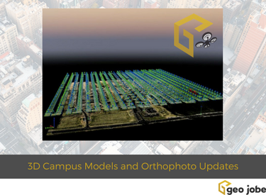
Local governments, utilities, and facility managers have a new resource at their disposal to help keep their GIS land base current and up to date while […]
GEO Jobe is pleased to share that we offer high resolution low altitude orthophotography services (see geo-jobe.com/uav) and, optionally, hosting options via the GeoPowered Cloud. As […]

